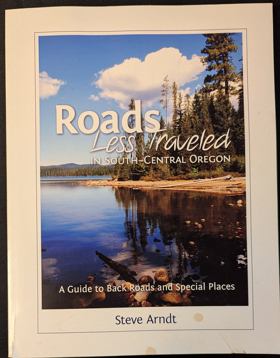
Roads less traveled in South-Central Oregon a guide to back roads and special places by Steve Arndt
Catalog Title Details
Title:
Roads less traveled in South-Central Oregon
Sub Title:
a guide to back roads and special places
Author(s):
Steve Arndt
Circulation:
Non-circulating [ 1 ]
Published:
2013
Edition:
1st Edition
Document:
Book · Paperback
Physical Description:
vi, 103 pages : illustrations, maps ; 28 cm
Genre:
Travel books
From the clear water of Crater Lake to the desolate desert valleys near the California and Nevada borders, South-Central Oregon is a region of cinder cones, ancient forests and rugged living. Roads Less Traveled in South-Central Oregon leads modern explorers on nearly 900 miles of routes and explains what they'll find along the way.
Guidebooks, Oregon, Oregon Description and travel, Oregon Descriptions et voyages, Oregon Guidebooks, Oregon Guides, Oregon authors, Travel, Travel books
Foreword Introduction Hot water and covered bridges: Bellknap Springs to Lowell (95 miles) Oregon's largest mine, colliding rivers, and waterfalls: Dorena to Diamond Lake (111 miles) From the deepest lake in the US to pelicans in the sky: Crater Lake to Klamath Falls (131 miles) A WWII bomb, Westside Story, and Oregon's geyser: Chiloquin to New Pine Creek (195 miles) Gemstones, Rudolph, and a crack in the ground: Plush to Christmas Valley (172 miles) Going from the 70s, past a tragic fire, to a hole in the ground: Paisley to Fort Rock (74 miles) Through the land of lakes to Obsidian, Lava Cast Forest and Caves: La Pine to Highway 97 (100 miles)
Circulation Status
View holding locations, available formats, and specific editions.
| Collection | Resource | Edition | Published | Publisher | Avaliability |
|---|---|---|---|---|---|
|
The Cascade District Encyclopedia Library |
Book | 1st Edition | 2013 | Steve Arndt, Oregon, 2013 | Paperback |
The Cascade District
Encyclopedia Library
Last updated: 2025-01-14