Early Washington atlas overland stage routes, old military roads, Indian battle grounds, old forts, old gold mines by Ralph N. Preston
Catalog Title Details
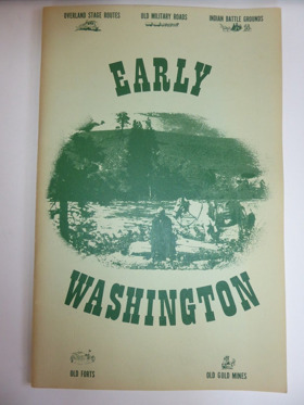
Title:
Early Washington atlas
Sub Title:
overland stage routes, old military roads, Indian battle grounds, old forts, old gold mines
Author(s):
Ralph N. Preston
Circulation:
Non-circulating [ 1 ]
Published:
1981
Edition:
2nd ed
Document:
Map · Paperback
Physical Description:
68 unnumbered pages : chiefly illustrations, maps ; 44 cm
Genre:
atlases
Ralph N. Preston’s cartographic compilation, Early Washington atlas: overland stage routes, old military roads, Indian battle grounds, old forts, old gold mines, serves as an essential spatial record of the rapid territorial and military re-engineering of the Pacific Northwest. By assembling nineteenth-century federal survey charts, military route maps, and mining plots, the atlas visually documents how Euro-American frontier infrastructure was systematically superimposed directly over the ancient overland trails, river fords, and mountain passes long maintained by the Yakama, Spokane, Palouse, Colville, and Coast Salish peoples. Federal garrisons—such as Fort Simcoe, Fort Colville, and Fort Walla Walla—alongside vital arteries like the Mullan Road and the military trail across Naches Pass, were constructed directly along these pre-existing indigenous communication corridors to control regional trade and resource transit. The atlas’s explicit cataloging of territorial battlegrounds delineates the violent friction points where federal boundary lines and mineral extraction forcefully encroached upon indigenous geographic sovereignty. In mapping the vast distances between isolated stage stops, mining camps, and garrisons, Preston’s collection underscores how early overland logistics and frontier survival remained deeply dependent on navigating an established indigenous landscape and relying on local geographical knowledge.
Atlas, Atlases, Historical geography, Maps, Trails, Trails Washington (State) Maps, Washington (State), Washington (State) Historical geography Maps, atlases
Cover title
Cover title
Circulation Status
View holding locations, available formats, and specific editions.
| Collection | Resource | Edition | Published | Publisher | Avaliability |
|---|---|---|---|---|---|
|
The Cascade District Encyclopedia Library |
Book | Second Edition | 1977 | Binford & Mort | Paperback |
The Cascade District
Encyclopedia Library
Last updated: 2026-10-01