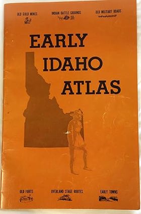
Early Idaho atlas by Ralph N. Preston
Catalog Title Details
Title:
Early Idaho atlas
Author(s):
Ralph N. Preston
Circulation:
Desiderata
Published:
1978
Edition:
2nd ed
Document:
Map · Paperback
Physical Description:
60 pages : chiefly illustrations, maps ; 45 cm
Genre:
Maps
Early Idaho Atlas provides a vital cartographic record of pioneer settlement, resource extraction, and overland migration across the profoundly rugged and vertically extreme landscapes of the Idaho Territory. Preston’s historic maps detail how the region’s formidable physical barriers—ranging from the impassable, deep-cut gorges of the Snake and Salmon rivers to the towering, heavily timbered peaks of the Bitterroot Range—strictly dictated the precise placement of early frontier infrastructure. By pinpointing the exact locations of isolated mining camps clinging to steep alpine drainages and remote military outposts established along the arid, sprawling expanse of the southern Snake River Plain, the atlas illustrates the immense physical labor required to penetrate this fractured, inaccessible terrain. Furthermore, the mapping of early wagon roads and subsequent ghost towns highlights how transient communities were entirely dependent on localized mineral booms or perilous canyon travel routes that were frequently abandoned when the unforgiving geography proved too costly to overcome. Ultimately, this heavily spatial reference serves as a deeply localized geographical history, demonstrating how the severe, highly compartmentalized topography of the Pacific Northwest's eastern interior fundamentally shaped—and often erased—the precise physical footprint of the Idaho frontier.
Historical geography, Idaho, Idaho (États-Unis) Cartes, Idaho Historical geography Maps, Maps, Trails, Trails Idaho Maps
Includes facsimile of maps and photographs showing old gold mines Indian battle grounds old military roads old forts overland stage routes early towns
Previously published as: Maps of early Idaho. Corvallis, Or. : Western Guide Publishers, 1972
Previously published as: Maps of early Idaho. Corvallis, Or. : Western Guide Publishers, 1972
Circulation Status
View holding locations, available formats, and specific editions.
| Collection | Resource | Edition | Published | Publisher | Avaliability |
|---|---|---|---|---|---|
| This title is not currently available in our physical or digital circulation. | |||||
Last updated: 2026-09-24