Willamette River Basin planning atlas trajectories of environmental and ecological change
|
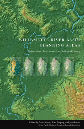
"The Willamette River Basin Planning Atlas offers a valuable resource for anyone interested in the region's past, present, and future. Using a variety of color maps, charts, and photographs, the Atlas presents a vast amount of information intended to provide a long-term, large-scale view of changes in human and natural systems within the Basin." "Five chapters provide information on current conditions and historical changes since 1850, focusing in turn on land forms and geology, water resources, plants and animals, land use, and human population." "Next, there is a detailed examination of how the Basin may change between now and 2050 under three alternative scenarios for future land and water use: one assuming a continuation of current land use and management policies, the second assuming a loosening of current policies to allow freer development, and the third assuming greater emphasis on ecosystem protection and restoration." |
| Author(s): | David Hulse, Stan Gregory, Joan P. Baker, Pacific Northwest Ecosystem Research Consortium |
| Document: | Book · Paperback · ONLINE CIRC [ 1 ] |
| Edition: | 2nd ed |
| Published: | 2002 |
| Physical Description: | ix, 178 pages : illustrations (some color), maps (some color) ; 44 cm |
| Genre: | Maps |
| Subjects: | Ecology, Human ecology, Human ecology Oregon Willamette River Watershed Maps, Maps, Natural resources, Natural resources Oregon Willamette River Watershed Maps, Oregon Willamette River Watershed, Willamette River Watershed (Or.) Environmental conditions Maps |
Circulation
Here are a list of places where this title can be found and the various formats it can be found in.
| Collection | Resource | Available | Edition | Published | Publisher |
|---|---|---|---|---|---|
| Public Website: Public Website Link | Book | Digital | 2nd Edition | 2002 | Oregon State University Press, Corvallis, Or. |
Last updated: 2025-02-07