Charles Wilkes 1798-1877
Commander of the United States Exploring Expedition, extensively charting the Puget Sound and Pacific Northwest coast in 1841, naming many local geographical features.
Biographical Overview
- Lived from 1798 to 1877
- Born: Apr 3, 1798, New York City, NY
- Died: Feb 8, 1877, Washington, D.C.
Historical Events
- No referenced events linked
Bibliography for Charles Wilkes
A listing of books related by subject
Charles Wilkes and the exploration of inland Washington waters journals from the expedition of 1841 by Richard W. Blumenthal
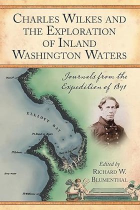
"Follows the Wilkes Expedition in 1841. Includes the journals of Charles Wilkes and ten of his crewmen, eighteen of the Wilkes Expedition's charts (the quality of which reflects the crew's careful attention to accuracy), and a complete muster list of the officers and crewmen (name, title, and a brief synopsis of his activity within the expedition"--Provided by publisher
v, 314 pages : maps ; 23 cm
Desiderata
The Wilkes expedition Puget Sound and the Oregon Country by Frances B. Barkan

The Wilkes Expedition: Puget Sound and the Oregon Country, edited by Frances B. Barkan and published in 1987 by the Washington State Capital Museum, provides a focused historical account of the 1841 American maritime survey of the Pacific Northwest. The book explores the regional activities of the United States Exploring Expedition, commanded by Lieutenant Charles Wilkes, detailing their extensive mapping of Puget Sound and the expedition's broader role in strengthening American territorial claims. Ultimately, it serves as a valuable resource for understanding how this landmark naval mission shaped the early geographical and political landscape of the Oregon Country.
viii, 134 pages, 2 unnumbered leaves of plates : illustrations ; 21 x 26 cm
Non-circulating [ 1 ]
Autobiography of Rear Admiral Charles Wilkes, U.S. Navy, 1798-1877 by Charles Wilkes, William James Morgan, United States Naval History Division
Autobiography of Rear Admiral Charles Wilkes, U.S. Navy, 1798-1877 chronicles the unprecedented maritime surveying efforts of the United States Exploring Expedition as it navigated the complex and treacherous coastal geography of the Pacific Northwest in 1841. Wilkes details the immense logistical challenges of charting this unforgiving maritime frontier, famously underscored by the violent wreck of the USS Peacock upon the shifting, notoriously dangerous sandbars of the Columbia River's mouth. By meticulously mapping the deep, sheltered anchorages of Puget Sound and surveying the sprawling, fertile expanse of the inland Willamette Valley, the narrative illustrates how recognizing the region's specific topographic value—its immense timber reserves, navigable inland waterways, and strategic deepwater harbors—directly fueled American territorial ambitions. The expedition's reliance on Indigenous spatial knowledge to penetrate the dense coastal rainforests and complex riverine networks highlights the formidable physical barriers of the Pacific seaboard. Ultimately, this autobiographical account provides a vital spatial history, demonstrating how mastering and documenting the severe marine topography of the Pacific Northwest coast fundamentally laid the navigational groundwork for American imperial expansion.
xxii, 944 pages : illustrations, facsimiles, portraits ; 25 cm
ONLINE Circulation [ 1 ]
Entry Details
Related Online Resources
- No external online resources or related links found
Last updated: 2026-09-29