City of Idaho Falls Bonneville County, Idaho
Mapped Location
City of Idaho Falls: The mapped location is an approximation and should not be used for navigation or wayfinding.
Information
General information on City of Idaho Falls
- Feature Type: Incorporated
Official, historical, colloquial and alternative toponyms for City of Idaho Falls
A brief list of names that this geographic feature has been named
| Name | Description |
|---|---|
| City of Idaho Falls | Official |
| Bruceville Cemetery | Official |
| Idaho Falls | Official |
| Eagle Rock | Historical |
Origin Notes and History of City of Idaho Falls
References to City of Idaho Falls that document the origin of its place name
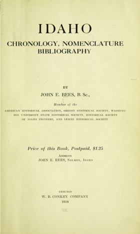
EAGLE ROCK, Bonneville County.—This place is now called Idaho Falls, the name having been changed in 1890. Snake River here falls over the edge of a lava flow, and the incessant wear of the running water has cut the falls back into the lava sheet fully half a mile, and they are now at the head of a narrow canyon, the walls of which are at one point barely fifty feet apart. In 1864, a ferry was established near this place to accommodate the miners that were rushing to the Montana placer fields, and in 1866 J. M. Taylor built a toll bridge known as "Taylor's bridge." The bridge paid so well that a store and town were soon started by Robert Anderson. Just above the bridge, in the middle of the stream, with the waters swirling on either side as they rushed through the narrow channel, was a massive rock. Here, safe from harm and molestation, an American eagle for many years built its nest and reared its young. This suggested a name, and the little community was christened "Eagle Rock."—GUIDEBOOK, Overland Route.
A Selected Bibliography of City of Idaho Falls, Bonneville County, Idaho
A compilation of essential readings detailing the history, geography, and culture of the region.
From the Ganges to the Snake River an East Indian in the American West by D. Majumdar

D. Majumdar’s From the Ganges to the Snake River: an East Indian in the American West explores the profound cross-cultural integration and active agricultural adaptation of South Asian immigrants within the demanding landscapes of the inland Pacific Northwest. The narrative illustrates how the contrasting environmental realities of this topography—spanning from the familiar river basins of the Indian subcontinent to the arid, sagebrush plains and intensely irrigated valleys of the Snake River basin—required immense physical resilience and thoughtful agrarian adaptation from early immigrant populations. By detailing the gradual transition from confronting severe cultural isolation and grueling manual labor to the cooperative participation in the region's expanding agricultural economy, the text highlights how the area's early prosperity relied on a diverse, community-driven workforce responding to its challenging geography. Ultimately, the account demonstrates that patiently navigating the complex social boundaries of the frontier and cooperatively harnessing the high desert's vital water resources were essential steps in forging a more inclusive, deeply rooted, and economically integrated civic society in the American West.
A collection of essays about various experiences of the author while living in Idaho Falls, Idaho
xii, 244 pages : illustrations ; 23 cm
Desiderata
Bonneville County
- City of Ammon
- Beachs Corner
- Bone
- Caribou City (historical)
- Coltman
- Cotton
- Dehlin
- Gerrard
- Gray
- Guyaz
- Herman
- City of Idaho Falls
- City of Iona
- City of Irwin
- Keenan City (historical)
- Lincoln
- Milo
- Orvin
- Osgood
- Palisades
- Payne
- Poplar
- City of Swan Valley
- Taylorville
- City of Ucon
Political Boundaries
Last updated: 2017-01-07