Hanford Reach Feature
Mapped Location
Hanford Reach: The mapped location is an approximation and should not be used for navigation or wayfinding.
Information
General information on Hanford Reach
- Feature Type: Feature
Official, historical, colloquial and alternative toponyms for Hanford Reach
A brief list of names that this geographic feature has been named
| Name | Description |
|---|---|
| Hanford Reach | Official |
Related Catalog Titles
A Bibliography for Hanford Reach, Feature
The Hanford Reach a land of contrasts by Susan Zwinger, Stamford D. Smith
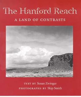
"The Hanford Reach is the last free stretch of the river between the McNary and Priest Rapids Dams, a place boasting a varied landscape of floodplains, wetlands, deserts, orchards - and nuclear reactors." "This is not a place that people think to visit. Known primarily for hosting the country's most toxic nuclear outpost, it is public land that barely exists in public consciousness. But because the Reach has been posted off-limits by the military since 1943, this book offers readers a little-seen glimpse into what the Pacific Northwest's arid east was like before the postwar boom." "Zwinger's text, enhanced by Skip Smith's photos, captures the subtleties of the contrasting vistas, just as it makes clear the depth of the radioactive poisoning within the soil and wildlife."--BOOK JACKET
xii, 79 pages : illustrations ; 17 cm.
CIRC [ 1 ]
Last updated: 2016-10-01