Historical atlas of Vancouver and the Lower Fraser Valley
|
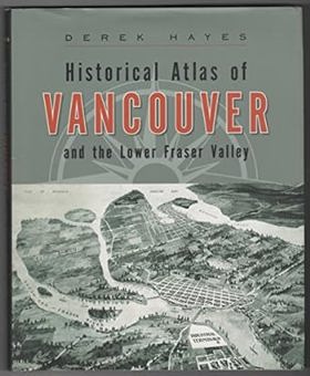
Map researcher and collector Derek Hayes here presents the sixth in a series of critically acclaimed, award-winning historical atlases. Gathered together in a single volume for the first time, here are the maps that shaped Vancouver and the surrounding Lower Fraser Valley. More than 370 original maps chart the region’s development beginning with the years of discovery and exploration. They depict its days as a fledgling colonial outpost, its appearance on the world scene after the arrival of the Canadian Pacific Railway, through to its emergence as a postwar Pacific metropolis. These maps evoke such historic events and developments as the founding of Fort Langley, the first settlements on the inlet, and the filling in of False Creek, along with more recent aspects of this richly diverse area such as the real estate boom and the explosive growth of Vancouver. Included are many fascinating plans for schemes that never got off the drawing board. |
| Author(s): | Derek Hayes |
| Document: | Book · Paperback · CIRC [ 1 ] |
| Edition: | 1st paperback ed |
| Published: | 2007 |
| Physical Description: | 192 p. : ill. ; 30 cm. |
| Genre: | Maps |
| Subjects: | Canada, Geschiedenis (vorm), Historische atlassen (vorm), Kaarten (geografie) |
Circulation
Here are a list of places where this title can be found and the various formats it can be found in.
| Collection | Resource | Available | Edition | Published | Publisher |
|---|---|---|---|---|---|
| The Cascade District: Encyclopedia Library | Book | Paperback | 1st paperback ed | 2007 | Douglas & McIntyre, Vancouver etc., 2007 |
Last updated: 2024-06-14