Metro Vancouver Regional District Regional District
Metro Vancouver Regional District since 2018, the Greater Vancouver Regional District (GVRD) was formed in 1967 to provide regional services to the western portion of the Lower Mainland. The GVRD was originally named the Regional District of Fraser-Burrard, but was renamed in 1968 to simply 'Metro Vancouver'. The GVRD is responsible for a wide range of services, including water, sewerage, solid waste management, parks and recreation, transportation, and emergency management. The region's history dates back to the arrival of the First Nations people, who have lived in the area for thousands of years. The first European settlers arrived in the early 1800s, and the region quickly grew as a trading and transportation hub. Vancouver was founded in 1886, and the city quickly became a major center for trade and commerce.
Mapped Location
Metro Vancouver Regional District: The mapped location is an approximation and should not be used for navigation or wayfinding.
Information
General information on Metro Vancouver Regional District
- Feature Type: Regional District
- Regional District Administrative Centre: City of Burnaby
- Established: Thursday, June 29, 1967
Official, historical, colloquial and alternative toponyms for Metro Vancouver Regional District
A brief list of names that this geographic feature has been named
| Name | Description |
|---|---|
| Metro Vancouver | Official |
| Metro Vancouver Regional District | Official |
| Greater Vancouver Regional District | Historical |
Related Catalog Titles
A Bibliography for Metro Vancouver Regional District, Regional District
Surviving Vancouver by Michael Kluckner (Author, Artist)
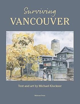
"This book is about "surviving" and is divided into three sections: an introduction that looks back to my 1996 book and reproduces some of the images and thoughts from that tranquil time nearly 30 years ago; a second section about "surviving" as an adjective--what has survived of its fine buildings and beautiful neighbourhoods; and a third one of "surviving" as a verb--how people are surviving in Vancouver. I have used "Vancouver" both as a term for the city itself and sometimes for Metro Vancouver--the region which includes Burnaby, New Westminster, the North and West Vancouvers, Surrey, Richmond, Delta, Port Moody, White Rock, the Coquitlams and the Langleys. The final section of the book considers that geography, and the "great escapes" further afield."-- Provided by publisher
126 pages : illustrations ; 28 cm
CIRC [ 0 ]
Becoming Vancouver a history by Daniel Francis
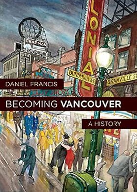
"A brisk chronicle of Vancouver, BC, from early days to its emergence as a global metropolis, refracted through the events, characters and communities that have shaped the city. In Becoming Vancouver award-winning historian Daniel Francis follows the evolution of the city from early habitation by the Musqueam, Squamish and Tsleil-Waututh First Nations, to the area's settlement as a mill town, to the flourishing speakeasies and brothels during the 1920s, to the years of poverty and protest during the 1930s followed by the long wartime and postwar boom, to the city's current status as real-estate investment choice of the global super-rich. Tracing decades of transformation, immigration and economic development, Francis examines the events and characters that have defined the city's geography, economy and politics. Francis enlivens his text with rich characterizations of the people who shaped Vancouver: determined Chief Joe Capilano, who in 1906 took a delegation to England to appeal directly to King Edward VII for better treatment of Indigenous peoples; brilliant and successful Won Alexander Cumyow, the first recorded person of Chinese descent born in Canada; L.D. Taylor, irrepressible ex-Chicagoan who still holds the record as the city's longest-serving mayor; and tireless activist Helena Gutteridge, suffragist and Vancouver's first woman councillor. Vancouver has been called a city without a history, partly because of its youth but also because of the way it seems to change so quickly. Newcomers to the city, arriving by the thousands every year, find few physical reminders of what was before, making a new history like Becoming Vancouver long overdue."-- Provided by publisher
265 pages : illustrations, maps ; 24 cm
CIRC [ 0 ]
The nature of borders salmon, boundaries, and bandits on the Salish Sea by Lissa K. Wadewitz, Center for the Study of the Pacific Northwest
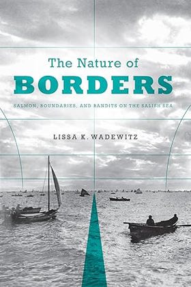
For centuries, borders have been central to salmon management customs on the Salish Sea, but how those borders were drawn has had very different effects on the Northwest salmon fishery. Native peoples who fished the Salish Sea--which includes Puget Sound in Washington State, the Strait of Georgia in British Columbia, and the Strait of Juan de Fuca--drew social and cultural borders around salmon fishing locations and found ways to administer the resource in a sustainable way. Nineteenth-century Euro-Americans, who drew the Anglo-American border along the forty-ninth parallel, took a very different approach and ignored the salmon's patterns and life cycle. As the canned salmon industry grew and more people moved into the region, class and ethnic relations changed. Soon illegal fishing, broken contracts, and fish piracy were endemic--conditions that contributed to rampant overfishing, social tensions, and international mistrust. The Nature of Borders is about the ecological effects of imposing cultural and political borders on this critical West Coast salmon fishery. This transnational history provides an understanding of the modern Pacific salmon crisis and is particularly instructive as salmon conservation practices increasingly approximate those of the pre-contact Native past. The Nature of Borders reorients borderlands studies toward the Canada-U.S. border and also provides a new view of how borders influenced fishing practices and related management efforts over time.
xi, 271 pages, 27 unnumbered pages of plates : illustrations, maps ; 23 cm.
CIRC [ 0 ]
Strathcona Vancouver's first neighbourhood by John Atkin
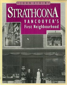
Authored by local historian John Atkin, Strathcona: Vancouver's First Neighbourhood chronicles the vibrant history, architectural evolution, and immigrant roots of Vancouver's oldest residential district. The book traces how the working-class enclave—sandwiched between industrial waterfronts and the city's commercial core—became a diverse melting pot of European, Asian, and Indigenous residents who built tight-knit community networks in the shadow of urban expansion. Through archival photographs and detailed municipal records, the text highlights the fierce neighborhood activism that repeatedly saved the area from twentieth-century freeway demolition and industrial rezoning. A keen insight drawn from the work is how grassroots architectural preservation serves as a radical form of working-class self-defense; by fighting to protect their modest wooden homes and walkable streets from municipal "renewal" projects, Strathcona residents proved that neighborhood history and vernacular architecture are vital bulwarks against the erasure of marginalized communities by corporate and bureaucratic urban planning.
93 pages : illustrations ; 24 cm
CIRC [ 1 ]
Fort Langley, birthplace of British Columbia by B. A. McKelvie, Charles Lillard
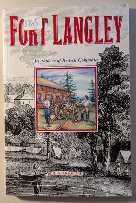
Co-authored by B.A. McKelvie and Charles Lillard, Fort Langley, Birthplace of British Columbia chronicles the foundational history of the Hudson's Bay Company fur-trading post established along the lower Fraser River in 1827. The book details how the fort evolved from a modest trading stockade dealing in salmon and beaver pelts into the geopolitical staging ground where British colonial rule was officially proclaimed in 1858. Drawing on historical journals and company records, the text illustrates the complex economic web linking fur traders, maritime supply ships, and local Indigenous populations. A keen insight drawn from the work is how the romantic narrative of a colony's "birthplace" obscures its corporate origins; by tracing British Columbia's administrative roots directly back to a commercial trading monopoly, the authors reveal that the region's political foundation was engineered less by heroic statecraft than by the ruthless logistical demands of the fur trade.
112 pages, [8] pages of plates : illustrations, maps ; 23 cm
CIRC [ 1 ]
On the shady side Vancouver, 1886-1914 by Betty Keller
Bowen Island, 1872-1972 by Irene Howard
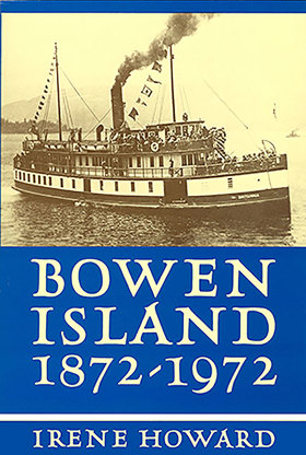
BC writer Irene Howard has woven together years of correspondence, historical records, anecdotes, and interview material to create this textual account of Bowen Island history. The book covers the lives of the early settlers, the days of the steamships, significant events, and notable islanders who have shaped the Bowen Island we now know.
190 pages, 10 unnumbered leaves of plates illustrations, maps, portraits 24 cm
CIRC [ 1 ]
Naming, opening, and dedication of Stanley Park, Vancouver, Canada, 1888-1889 by Archives of Vancouver Society
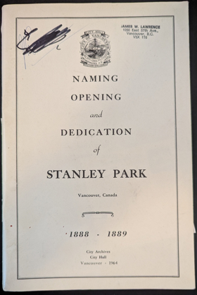
With the compliments of the Commissioners of the Park Board, past and present. On the seventy-fifth anniversary of the dedication of Stanley Park, 1889.
60 pages illustrations 23 cm
CIRC [ 1 ]
Vancouver from milltown to metropolis by Alan Morley

Land of the Royal Kwantlen. A history of North Surrey, B.C by John Pearson, John M. Reitz
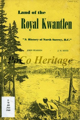
"It gives me great pleasure to present this booklet to the people who now inhabit the 'Land Of The Royal Kwantlen,' North Surrey, British Columbia, and to those who love to read about the transition of a primeval wilderness to a modern civilization." - Quote taken from Presentation by W. Roy Eckert.
27 pages 24 cm
CIRC [ 0 ]
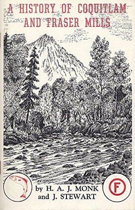
A History of Coquitlam and Fraser Mills, 1858-1958 by H. A. J. Monk, John Stewart
Fort Langley outpost of Empire by B. A. McKelvie
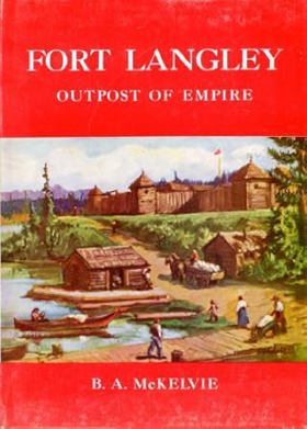
An account of the Hudson's Bay Company's operation at Fort Langley in southern British Columbia in the early-to-mid 19th Century
ix, 98 pages illustrations (some color) maps (on lining-papers) 27 cm
CIRC [ 0 ]
Metro Vancouver Regional District
- Albion
- Alder Creek
- Aldergrove
- Altamont
- Ambleside
- Village of Anmore
- Anniedale
- Arbutus Ridge
- Austin Heights
- Barnet
- Barnston Island
- Beach Grove
- Village of Belcarra
- Belvedere
- Bergs
- Birchland Manor
- Blueridge
- Bowen Bay
- District of Bowen Island
- Brentwood Park
- Bridgeview
- Brighouse
- Brighton Beach
- British Properties
- Broadmoor
- Brookswood
- Brunette Creek
- Brunswick Beach
- Buckingham Heights
- Buntzen Bay
- Burkeville
- City of Burnaby
- Burnaby Heights
- Burquitlam
- Canyon Heights
- Capilano Highlands
- Capitol Hill
- Cariboo
- Carraholly
- Cascade
- Cascade Heights
- Cassin
- Caulfeild
- Cedardale
- Chineside
- Cleveland Park
- Cloverdale
- Coldwell Beach
- Connaught Heights
- Coombe
- City of Coquitlam
- Cosy Cove
- Cove Cliff
- Cowans Point
- Crescent
- Crescent Beach
- Cypress Park
- Dartmoor
- Deep Cove
- Delbrook
- District of Delta
- Delta
- Dollarton
- Douglas
- Dunbar-Southlands
- Dundarave
- Eagle Harbour
- Eagle Ridge
- Eastburn
- Elgin
- Essondale
- Fairview
- Fern Ridge
- Fernlee
- Fleetwood
- Forest Hills
- Forest Knolls
- Fort Langley
- Frames
- Fraser Heights
- Fraser Mills
- Garden Village
- Glen Valley
- Glenbrooke North
- Gleneagles
- Glenmore
- Grandview
- Grandview-Woodlands
- Granite Falls
- Guildford
- Haney
- Harbour Chines
- Harbour Village
- Hastings-Sunrise
- Hazelmere
- Hollyburn
- Hopington
- Horseshoe Bay
- Ioco
- Iron Bay
- Johnson
- Johnson Heights
- Keith-Lynn
- Kelvin
- Kensington-Cedar Cottage
- Kerrisdale
- Killarney
- Kitsilano
- Ladner
- Lake Buntzen
- City of Langley
- District of Langley
- Laurentian Belaire
- Lincoln Park
- Village of Lions Bay
- Lower Lonsdale
- Lynn Valley
- Lynnmour
- Maillardville
- City of Maple Ridge
- Maplewood
- Marpole
- Mary Hill
- Mayfair
- Meadowbrook
- Metrotown
- Middlegate
- Millers Landing
- Milner
- Mount Gardner
- Mount Pleasant
- Mud Bay
- Murrayville
- City of New Westminster
- Newton
- Norgate
- North Delta
- North Lonsdale
- City of North Vancouver
- District of North Vancouver
- North Woodlands
- Oakridge
- Ocean Park
- Orlomah Beach
- Oxford Heights
- Panorama Ridge
- Park Royal
- Parkdale Gardens
- Pasley Island
- Pemberton Heights
- City of Pitt Meadows
- Pitt Meadows
- Pleasantside
- City of Port Coquitlam
- Port Guichon
- Port Hammond
- Port Kells
- Port Mann
- City of Port Moody
- Queens Park
- Queensborough
- Ranch Park
- Renfrew-Collingwood
- City of Richmond
- Riley Park
- River Springs
- Ruskin
- Sandy Cove
- Sapperton
- Seafair
- Sentinel Hill
- Seymour Heights
- Seymour Landing
- Shaughnessy
- Silver Valley
- Snug Cove
- South Cambie
- South Slope
- South Surrey
- Southarm
- Steveston
- Strachan Creek
- Strathcona
- Strawberry Hill
- Sullivan
- Sullivan Heights
- Sun Valley
- Sunbury
- Suncrest
- Sunnyside
- Sunset
- Sunset Beach
- Sunshine
- Sunshine Hills
- City of Surrey
- Surrey
- Surrey Centre
- Thompson
- Thwaytes
- Tsawwassen
- Tsawwassen
- Twin Islands
- Tynehead
- University Hill
- Upper Lynn
- City of Vancouver
- Victoria-Fraserview
- Walnut Grove
- Websters Corners
- West Bay
- West End
- West End
- West Lynn
- West Point Grey
- District of West Vancouver
- Westmount
- Westridge
- Whalley
- City of White Rock
- Whonnock
- Whytecliff
- Wigwam Inn
- Willingdon Heights
- Windsor Park
- Woodhaven
- Woodlands
- Yennadon
Political Boundaries
Last updated: 2025-09-23