Canyon County County
Established on March 7, 1891 with its county seat at Caldwell. Current sources attribute the name to the canyon of the Boise River near Caldwell. However, both John Rees and Vardis Fisher believed it named for the Snake River Canyon, which forms a natural boundary for the county. The Hudson’s Bay Company established Fort Boise in 1834 near what is now Parma, but abandoned it in 1855. Emigrants traveled through Canyon County on the Oregon Trail.
Mapped Location
Canyon County: The mapped location is an approximation and should not be used for navigation or wayfinding.
Information
General information on Canyon County
- Feature Type: County
- County Seat: City of Caldwell
- Established: Saturday, March 7, 1891
Official, historical, colloquial and alternative toponyms for Canyon County
A brief list of names that this geographic feature has been named
| Name | Description |
|---|---|
| Canyon County | Official |
Origin Notes and History of Canyon County
References to Canyon County that document the origin of its place name

CANYON.—Named for the canyon on the Boise River near Caldwell. The county seat is Caldwell, named for Senator Alexander Caldwell of Kansas.
Related Catalog Titles
A Bibliography for Canyon County, County
Debaters and dynamiters the story of the Haywood trial by David H. Grover
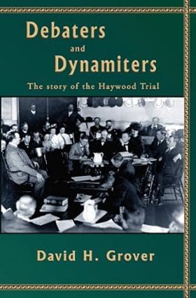
In December of 1905, ex-Governor Frank Steunenberg of Idaho was killed when a dynamite bomb shattered his home in Caldwell, Idaho. The dynamiter s confession implicated four officials of the powerful Western Federation of Miners, a militant union that had figured prominently in the labor wars of the day. The trial of the union men became a subject of national interest. A trial in a small town in Idaho with national implications regarding unions, Socialism and labor riots.
viii, 310 pages, 8 unnumbered pages of plates : illustrations ; 24 cm
CIRC [ 0 ]
Canyon County
- Allendale
- Amsco
- Apple Valley
- Bowmont
- Bugtown (historical)
- City of Caldwell
- Central Cove
- Deal
- Doles
- Enrose
- Fischer
- Fort Boise (historical)
- City of Greenleaf
- Huston
- Josephson
- Karcher Junction
- Kings Corner
- Knowlton Heights
- Maddens
- City of Melba
- City of Middleton
- Midway
- Moss
- City of Nampa
- City of Notus
- City of Parma
- Riverside
- Rookstool Corner
- Roswell
- Simplot
- Sunnyslope
- Swartz Corner
- Tiegs Corner
- Underkoflers Corner
- Walters Ferry
- Warrens
- Weitz
- Westma
- City of Wilder
Political Boundaries
Last updated: 2016-11-27