City of Buhl Twin Falls County, Idaho
Mapped Location
City of Buhl: The mapped location is an approximation and should not be used for navigation or wayfinding.
Information
General information on City of Buhl
- Feature Type: Incorporated
Official, historical, colloquial and alternative toponyms for City of Buhl
A brief list of names that this geographic feature has been named
| Name | Description |
|---|---|
| City of Buhl | Official |
| Buhl | Official |
Related Catalog Titles
A Bibliography for City of Buhl, Twin Falls County, Idaho
In the middle and on the edge the Twin Falls region of Idaho by James R. Gentry, College of Southern Idaho, Twin Falls Centennial Commission
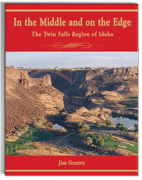
Dr. Jim Gentry arrived in Twin Falls in 1969 at the age of 23 to begin teaching history at the College of Southern Idaho. Having lived in five other states, Jim was glad to have found "his home". That love encouraged historical research and an ongoing fastination with local history. This book illustrates a concept that took shape early in Jim's study; that this region was in the middle and on the edge even before Twin Falls was founded in 1904
xvi, 413 pages : illustrations, maps ; 23 cm
CIRC [ 1 ]
Twin Falls County
- Abbey (historical)
- Amsterdam
- Anderson Place
- Artesian City
- Austin (historical)
- Berger
- Bergstrom Place
- Bickel (historical)
- Bills
- City of Buhl
- City of Castleford
- Cedar
- Clover
- Curry
- Deep Creek
- Duncan Place
- Fairview
- City of Filer
- Godwin
- Greys Landing
- Hand Place
- City of Hansen
- Harrell Place
- Hoelzle Place
- City of Hollister
- Indian Jim Place
- City of Kimberly
- Knull
- May Place
- McMillan
- Milner
- City of Murtaugh
- Peavey
- Player Place
- Rock Creek
- Rock House Place
- Rogerson
- Roseworth
- Striker
- Threemile Crossing
- City of Twin Falls
- Vosburg Place
Political Boundaries
Last updated: 2017-01-07