City of Monmouth Polk County, Oregon
Mapped Location
City of Monmouth: The mapped location is an approximation and should not be used for navigation or wayfinding.
Information
General information on City of Monmouth
- Feature Type: Incorporated
Official, historical, colloquial and alternative toponyms for City of Monmouth
A brief list of names that this geographic feature has been named
| Name | Description |
|---|---|
| City of Monmouth | Official |
| Monmouth | Official |
A Selected Bibliography of City of Monmouth, Polk County, Oregon
A compilation of essential readings detailing the history, geography, and culture of the region.
Monmouth, Oregon the saga of a small American town by Scott McArthur
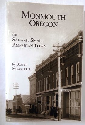
Scott McArthur’s Monmouth, Oregon: The Saga of a Small American Town provides a granular local and institutional history documenting the intentional founding of a religiously motivated pioneer colony and educational hub in the central Willamette Valley. The narrative traces how mid-nineteenth-century Disciples of Christ settlers systematically superimposed an orthogonal town grid, strict temperance covenants, and a collegiate campus onto the fertile oak savannas and camas prairies stewarded by the Luckiamute band of the Kalapuya. McArthur details the delicate logistics of frontier community building, illustrating how Monmouth anchored its early economic survival to Monmouth Christian College (which evolved into the Oregon State Normal School) while depending on neighboring Independence’s river landings and rail spurs for regional transit. Ultimately, the chronicle illustrates how utopian religious planning and state-backed educational infrastructure permanently restructured an ancient Indigenous riverine ecology into an enduring American civic landscape.
vii, 243 pages : illustrations, maps ; 22 cm
Desiderata
Polk County
- Airlie
- Ballston
- Bethel
- Bethel Heights
- Black Rock
- Bowersville (historical)
- Bridgeport
- Broadmead
- Brush College
- Buell
- Buena Vista
- Carey (historical)
- Chapman Corner
- Cochrane (historical)
- City of Dallas
- Ellendale
- Eola
- City of Falls City
- Ferns (historical)
- Fir Villa
- Fort Hill Census Designated Place
- Grand Ronde
- Hopville
- City of Independence
- Kingwood Park (historical)
- Lewisville
- Lincoln
- McCoy
- Modeville
- City of Monmouth
- Oakdale
- Parker
- Pedee
- Perrydale
- Putnam (historical)
- Rickreall
- Salemtowne
- Stapleton
- Suver
- Tucker (historical)
- Valley Junction
- Valsetz (historical)
- Zena
Political Boundaries
Last updated: 2017-01-18