City of Salem Marion County, Oregon
Mapped Location
City of Salem: The mapped location is an approximation and should not be used for navigation or wayfinding.
Information
General information on City of Salem
- Feature Type: Incorporated
Official, historical, colloquial and alternative toponyms for City of Salem
A brief list of names that this geographic feature has been named
| Name | Description |
|---|---|
| City of Salem | Official |
| Salem | Official |
A Selected Bibliography of City of Salem, Marion County, Oregon
A compilation of essential readings detailing the history, geography, and culture of the region.
Not on a silver platter settling the Willamette Valley and Salem, Oregon, 1858-1904 by Beatrice L. Bliss White
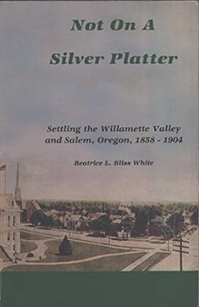
Beatrice L. Bliss White’s Not on a silver platter: settling the Willamette Valley and Salem, Oregon, 1858-1904 chronicles the grueling agrarian labor and civic perseverance required to cultivate the fertile floodplains and dense woodlands of central Oregon. Set against the defining waterways of the Willamette River and the distant backdrop of the Cascade foothills, the narrative details how subsequent waves of pioneer families navigated the physical hardships of clearing untamed acreage to establish viable farming claims. By chronicling the shared seasonal harvests and the collaborative construction of early Salem's commercial and educational institutions, the text reveals how these dispersed rural homesteaders forged tight-knit kinship networks to survive the demanding transition from frontier subsistence to agricultural prosperity. Ultimately, this local history documents how the cooperative stewardship of the valley floor and deeply rooted family alliances successfully transformed a rugged pioneer territory into the enduring, cohesive civic center that anchored Oregon's early statehood.
"The Adams family's new life in Oregon, the Territory and the new state."
498 pages : illustrations ; 24 cm
Non-circulating [ 1 ]
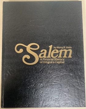
Salem, a pictorial history of Oregon's capital by Harry H. Stein
Marion County
- Ale (historical)
- City of Aumsville
- City of Aurora
- Badger Corner
- Belle Passi (historical)
- Bethany
- Bethel Gospel Park
- Breitenbush
- Breitenbush Hot Springs
- Brooks
- Butteville
- Champoeg
- Chemawa
- Clear Lake
- Clymer (historical)
- Dencer (historical)
- City of Detroit
- Dominic (historical)
- City of Donald
- Downs
- Drake Crossing
- Elkhorn
- Elkhorn Woods
- Fairfield
- Four Corners
- Fruitland
- City of Gates
- City of Gervais
- Grabenhorst Corner
- Hayesville
- Hazel Green
- Highland Station (historical)
- City of Hubbard
- Hullt (historical)
- City of Idanha
- Jawbone Flats (historical)
- City of Jefferson
- City of Keizer
- Labish Center
- Labish Village
- Lachmund (historical)
- Lakebrook
- Liberty
- Macleay
- Marion
- McKee
- Mehama
- Middle Grove
- Monitor
- City of Mount Angel
- Niagara
- Noble (historical)
- North Howell
- Oak Park
- Pratum
- Roberts
- Rosedale
- Saint Louis
- City of Saint Paul
- City of Salem
- Salem Station (historical)
- Santiam City (historical)
- City of Scotts Mills
- Shaw
- Sidney
- City of Silverton
- City of Stayton
- City of Sublimity
- Sunnyside
- Talbot
- City of Turner
- West Stayton
- West Woodburn
- Willard (historical)
- City of Woodburn
- Young
Political Boundaries
Last updated: 2017-01-18