City of Tumwater Thurston County, Washington
Mapped Location
City of Tumwater: The mapped location is an approximation and should not be used for navigation or wayfinding.
Information
General information on City of Tumwater
- Feature Type: Incorporated
Official, historical, colloquial and alternative toponyms for City of Tumwater
A brief list of names that this geographic feature has been named
| Name | Description |
|---|---|
| City of Tumwater | Official |
| Tumwater | Official |
Related Catalog Titles
A Bibliography for City of Tumwater, Thurston County, Washington
Lacey, Olympia, and Tumwater a pictorial history by Shanna Stevenson
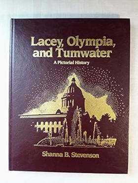
This book gives a reader the opportunity to view the Olympia, Lacy, Tumwater in its early development stages and fills a lot of gaps.
223 pages : illustrations ; 28 cm
CIRC [ 1 ]
Thurston County
- Beachcrest
- Belmore
- Bordeaux
- Boston Harbor
- Town of Bucoda
- Bush
- Carlyon Beach
- Chain Hill
- Delphi
- East Olympia
- Edgewater Beach
- Elizan Beach
- Essex
- Fir Tree
- Five Corners
- Four Corners
- Grand Mound
- Gravelly Beach
- Helsing Junction
- Independence
- Kellys Korner
- City of Lacey
- Lamberts Corner
- Littlerock
- Madrona Beach
- Marshville (historical)
- Maytown
- McIntosh
- Michigan Hill
- Mima
- Mushroom Corner
- Nisqually
- North Olympia
- North Yelm
- Offutt Lake
- City of Olympia
- Peterson Corner
- Plumb
- Puget
- City of Rainier
- Rignall
- Rochester
- Saint Clair
- Schneiders Prairie
- Skookumchuck
- South Bay
- South Union
- Sunnydale
- Sunrise Beach
- Sunset Beach
- Tanglewilde
- City of Tenino
- Thompson Place
- Tono
- City of Tumwater
- Union Mill
- Vail
- Western Junction
- City of Yelm
Political Boundaries
Last updated: 2017-01-15