Strait of Georgia Feature
Mapped Location
Strait of Georgia: The mapped location is an approximation and should not be used for navigation or wayfinding.
Information
General information on Strait of Georgia
- Feature Type: Feature
Official, historical, colloquial and alternative toponyms for Strait of Georgia
A brief list of names that this geographic feature has been named
| Name | Description |
|---|---|
| Strait of Georgia | Official |
A Selected Bibliography of Strait of Georgia, Feature
A compilation of essential readings detailing the history, geography, and culture of the region.
Oceanography of the British Columbia coast by Richard E. Thomson
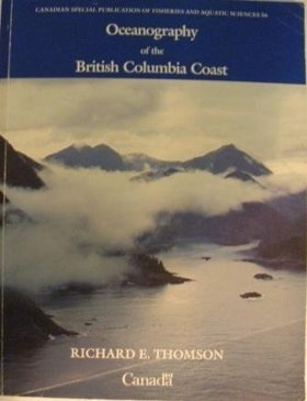
This book deals with the physical aspects of the sea as exemplified by the Pacific Ocean and the contiguous waters of the British Columbia coast. Although principally devoted to waves, currents and tides, the book spans a broad spectrum of topics ranging from meteorology and marine biology to past and present marine geology. It attempts to elucidate the nature of oceanic motions and to relate them to everyday experience for the general interest of the casual reader and for the practical benefit of the professional mariner, scientist, or engineer
xii, 291 pages : illustrations ; 28 cm
Non-circulating [ 1 ]
The Nootka connection Europe and the Northwest coast, 1790-1795 by Derek Pethick
Derek Pethick’s The Nootka Connection: Europe and the Northwest Coast, 1790–1795 chronicles the intense diplomatic, naval, and commercial maneuvers between Great Britain and Spain following the Nootka Crisis, which transformed the Pacific Northwest coastline into an arena of competing imperial claims. Centered on the pivotal diplomatic anchorage of Yuquot (Friendly Cove) and radiating through the Strait of Juan de Fuca, the Strait of Georgia, and Haida Gwaii, the volume documents how British and Spanish naval expeditions systematically superimposed European toponymy and sovereign boundary lines over the maritime territories of the Nuu-chah-nulth, Coast Salish, and Haida nations. Pethick details the delicate frontier logistics of this naval presence, demonstrating that sustained reconnaissance by commanders like George Vancouver and Juan Francisco de la Bodega y Quadra remained profoundly reliant on negotiated trade alliances and navigational intelligence provided by hereditary leaders such as Chief Maquinna and Wickaninnish. Ultimately, the work captures the transitional era when multilateral imperial treaties and maritime fur trade corridors laid the foundational cartographic framework that paved the way for Euro-American colonial settlement across the Pacific slope.
281 pages : illustrations, maps ; 24 cm
Non-circulating [ 1 ]
Last updated: 2016-10-01