Patos Island Feature
Mapped Location
Patos Island: The mapped location is an approximation and should not be used for navigation or wayfinding.
Information
General information on Patos Island
- Feature Type: Feature
Official, historical, colloquial and alternative toponyms for Patos Island
A brief list of names that this geographic feature has been named
| Name | Description |
|---|---|
| Patos Island | Official |
Origin Notes and History of Patos Island
References to Patos Island that document the origin of its place name

ALDEN POINT, west cape of Patos Island, Strait of Georgia. The name is evidently an additional honor of Lieutenant Commander Alden. It appears on the Richards chart of 1858-1860.
A Selected Bibliography of Patos Island, Feature
A compilation of essential readings detailing the history, geography, and culture of the region.
Patos Island Lighthouse by Edrie Vinson , Terri Vinson
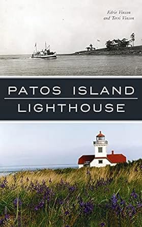
Since 1893, a light has been shining from Patos Island, the northernmost island in Puget Sound. Built to guide ships through treacherous waters, the lighthouse was also a happy home for many, including Edward Durgan and his family in the early 1900s. Boundary waters smugglers and rumrunners once visited the island to stash their contraband, and it was a front-line guard for the nation during World War II. Manned for eighty-one years by the U.S. government, the light was automated in 1974 and is now maintained by the Coast Guard. Join authors Edrie Vinson and Terri Vinson, members of the Keepers of the Patos Light, as they explore the history of this unique Washington landmark.
144 pages : illustrations, maps ; 23 cm
Non-circulating [ 1 ]
The light on the island by Helene Glidden

Helene Glidden’s The Light on the Island chronicles the precarious pioneer survival and the vital maritime subjugation of an isolated, storm-battered outpost situated at the extreme northwestern edge of the San Juan archipelago. The narrative maps how the severe environmental realities of this hostile marine topography—defined by the treacherous, tide-ripped currents of Boundary Pass, plunging rocky shoals, and the violent winter gales of the Salish Sea—initially completely severed the lighthouse keeper’s family from mainland civilization, forcing them into a desperate, hyper-vigilant struggle against both the untamed elements and the illicit transit of ruthless border smugglers. By detailing the relentless, daily maintenance of heavy, mechanized navigational infrastructure—specifically the massive optics and steam-powered fog signals of the Patos Island light station—the text illustrates how the economic and physical survival of Pacific maritime commerce was strictly dictated by the urgent necessity to artificially illuminate and master these deadly aquatic chokepoints. Ultimately, the account demonstrates that systematically deploying robust, engineered beacon systems and maintaining a vigilant, localized human presence to conquer the profound geographical isolation of the maritime border were the absolute prerequisites for transforming a lethal, rocky reef into a navigable, industrialized transit corridor for the broader Pacific seaboard.
249 pages ; 21 cm
Non-circulating [ 1 ]
Last updated: 2025-09-23