Marrowstone Island Feature
Mapped Location
Marrowstone Island: The mapped location is an approximation and should not be used for navigation or wayfinding.
Information
General information on Marrowstone Island
- Feature Type: Feature
Official, historical, colloquial and alternative toponyms for Marrowstone Island
A brief list of names that this geographic feature has been named
| Name | Description |
|---|---|
| Marrowstone Island | Official |
A Selected Bibliography of Marrowstone Island, Feature
A compilation of essential readings detailing the history, geography, and culture of the region.
Marrowstone by Karen Russell, Jeanne Bean
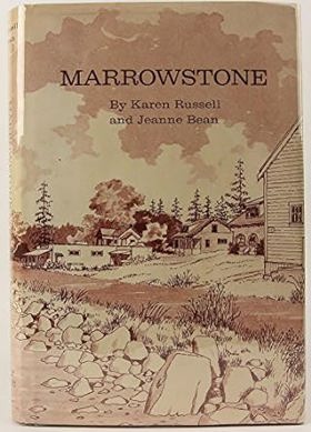
Marrowstone chronicles the pioneer settlement and distinct coastal evolution of a narrow, heavily forested landmass strategically situated at the entrance to Washington’s Admiralty Inlet. The authors detail how the island's isolated, water-bound topography required early homesteaders to rely entirely on the turbulent marine waterways of Puget Sound for transportation and trade while painstakingly clearing dense timber to establish small farms. By highlighting the island's commanding geographic position overlooking vital maritime shipping lanes, the narrative also maps the dramatic transformation of its rugged northern bluff into the massive coastal defense installation of Fort Flagler. Ultimately, the book provides a localized spatial history of how this remote Pacific Northwest outpost was fundamentally shaped by both the unforgiving tides of the Salish Sea and its critical strategic location.
Contains Craven's Peninsula, 1878-1890; homesteaders; Marrowstone and Indian Island, 1891-1900; plat of Nordland townsite; family genealogies, and Nordland, 1899-1945
[8], vi, 222 pages : illustrations, genealogical tables, maps, portraits ; 24 cm
Non-circulating [ 1 ]
Last updated: 2016-10-01