Jefferson County County
Jefferson County was formed out of Thurston County on December 22, 1852, by the legislature of Oregon Territory, and included the northern 4,854 square miles (12,571.8 km2) portion of the Olympic Peninsula. On April 26, 1854, the legislature of Washington Territory created Clallam County from the northwestern 2,670 square miles (6,915.3 km2) portion of this original area.
Quillehuyte County was split from Jefferson and Clallam counties in 1868 and returned to those counties a year later.
Mapped Location
Jefferson County: The mapped location is an approximation and should not be used for navigation or wayfinding.
Information
General information on Jefferson County
- Feature Type: County
- County Seat: City of Port Townsend
- Established: Wednesday, December 22, 1852
Official, historical, colloquial and alternative toponyms for Jefferson County
A brief list of names that this geographic feature has been named
| Name | Description |
|---|---|
| Jefferson County | Official |
Origin Notes and History of Jefferson County
References to Jefferson County that document the origin of its place name

JEFFERSON COUNTY, created by the Oregon Legislature on December 22, 1852, and named in honor of President Thomas Jefferson.
Related Catalog Titles
A Bibliography for Jefferson County, County
Maritime names of Washington by Richard W. Blumenthal
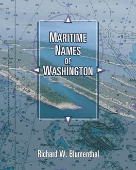
Maritime Names of Washington is a wonderful companion if you are a boating enthusiast or simply curious about Washington’s maritime history. This book is a scholarly study on the origins of place names for our coastal and inland waters. It covers every name that appears on current nautical charts, from the Pacific Coast to the Strait of Juan de Fuca, the San Juans, and Puget Sound from Port Townsend to Olympia. It includes every named island, bay, point, inlet, pass, harbor, rock, channel, strait, canal, peninsula, sound, and shoal. The book also features many local and historical names that are not shown on the charts. The manuscript generally identifies the individual who named the place, when, why, and for whom. It also identifies the chart where the name first appeared and the early settlement history of many places. The manuscript is richly annotated and uses many quotes from the observations of our earliest explorers to give readers a glimpse of what Puget Sound country looked like 200+ years ago. Each of our early explorations is discussed in detail as they relate to individual place names. The book contains 170 pictures and 44 historical nautical charts from 1790 to 1900 that show many of the names
ix, 501 pages : illustrations, maps, charts ; 26 cm
CIRC [ 1 ]
Chimacum In the valley near the water by Nancy L. McDaniel
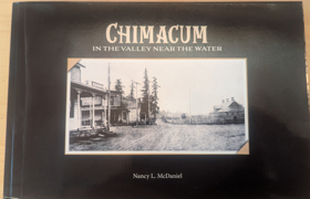
"In the Valley, Near the Water" are the first words of Chimacum High School's Alma Mater song. Written by Duane Montgomery, cherished music director, those words have a special meaning for Chimacum residents.
Published in 2023 by local historian Nancy L. McDaniel, Chimacum: In the Valley Near the Water provides an intimate local history of the Chimacum Valley and its surrounding agricultural communities on Washington's Olympic Peninsula. The narrative chronicles the area's transition from ancestral indigenous homelands to a bustling hub of pioneer farming, timber harvesting, and dairy production driven by 19th-century homesteaders. Drawing on extensive family archives, oral histories, and photographs, the book meticulously reconstructs the daily lives, schoolhouses, and community networks of early settlers. A keen insight drawn from the text is how its granular, bottom-up preservation of rural genealogy reveals the quiet, persistent labor required to carve an agrarian society out of a heavily forested frontier, offering a localized counterweight to grand narratives of Pacific Northwest expansion.
277 pages
CIRC [ 1 ]
Trails & trials of the pioneers of the Olympic Peninsula, State of Washington by Jann Castleberry (Compiler)
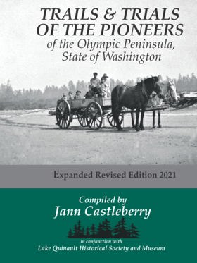
“In Grays Harbor's historical record Trails & Trials of the Pioneers stands alone as an enduring trove of firsthand settler stories. ... the book came to fruition after years of conducting interviews, collecting written recollections, and compiling them into scrapbooks. ... Jann Castleberry’s revised fourth edition … is a fresh and expanded version of Cleland’s original. Historic photographs sourced from individuals, museums, and archives provide a valuable visual supplement to the original text. Castleberry also solicited new submissions from Quinault area residents whose stories compliment those captured so many years ago.”--Introduction
247 pages : illustrations, maps, portraits ; 22 cm
CIRC [ 0 ]
A sound defense military sites, lighthouses, and memorials of Puget Sound by Nancy L. McDaniel
"A Sound Defense" is a comprehensive description of military sites of Puget Sound. Military historical sites in the twelve counties (Whatcom, Skagit, Snohomish, San Juan, Island, King, Pierce, Thurston, Mason, Kitsap, Clallam and Jefferson) are described with an emphasis on the unique things which happened there. Over 150 pictures and maps are included. Nancy McDaniel, Colonel, USAF, MSC (Retired) is a Washington State native and brings a love of the area and combines that with a perspective on the contributions that the military has had on Western Washington. "A Sound Defense" describes blockhouses built during the Indian conflicts. It addresses "The Pig War" and the politics of the international relationships which helped establish the boundaries of the United States. Forts built to protect Puget Sound as a result of the decisions of the Endicott Board are described along with the personalities of the commanders and personnel who were assigned there. Long forgotten installations established to provide early warning of approaching enemy aircraft are prominent in this comprehensive book. Lighthouses throughout the area are highlighted with the inclusion of historical photos and stories of early lightkeepers. Most importantly, "A Sound Defense" recognizes the contributions of military personnel throughout the years by the inclusion of memorials and facilities dedicated to recognizing their service to the country.
xvi, 365 pages : illustrations, maps ; 23 cm
CIRC [ 1 ]
In and around Port Ludlow yesterday and today by Pat Thompson, Port Ludlow Garden Club

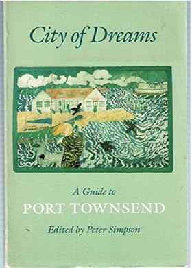
City of dreams a guide to Port Townsend by Peter Simpson, Robin Biffle
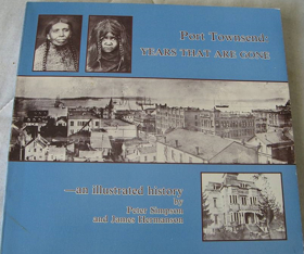
Port Townsend--years that are gone an illustrated history by Peter Simpson, James Hermanson
Postmarked Washington Jefferson, Clallam & Mason counties by Guy Reed Ramsey
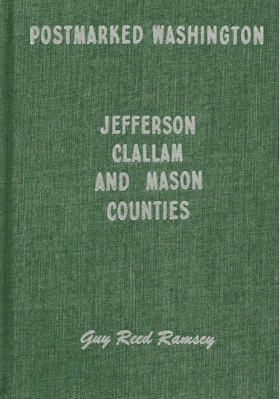
This is the story of the settlers and settlements of three counties on the Olympic Peninsula of Washington, with emphasis on stories of the postal service and postmasters that served the area. Examples of towns included are Port Angeles, Port Townsend, Sequim, Shelton, Forks, and Neah Bay. Hardbound, 180 pages, 6 x 9 inches. Included are maps, photographs, and sketches.
180 pages : illustrations ; 24 cm
CIRC [ 1 ]
Marrowstone by Karen Russell, Jeanne Bean
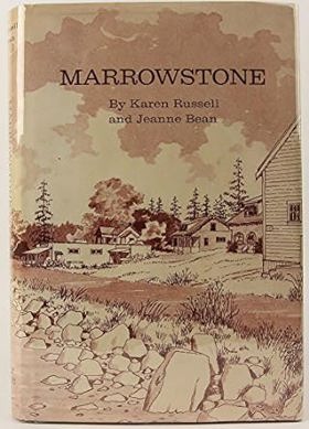
Contains Craven's Peninsula, 1878-1890; homesteaders; Marrowstone and Indian Island, 1891-1900; plat of Nordland townsite; family genealogies, and Nordland, 1899-1945
[8], vi, 222 pages : illustrations, genealogical tables, maps, portraits ; 24 cm
CIRC [ 1 ]
With pride in heritage history of Jefferson County, a symposium by Jefferson County (Wash) Historical Society
A brief historical sketch of Port Townsend, Washington by William D. Welsh, Port Townsend Chamber of Commerce, Crown Zellerbach Corporation
Jefferson County
- Adelma Beach
- Beaver Valley
- Bees Mill
- Bridgehaven
- Brinnon
- Camp Discovery
- Chimacum
- Clearwater
- Coyle
- Dabob
- Discovery Bay
- Discovery Junction
- Duckabush
- Eaglemount
- East Quilcene
- Fairmont
- Fort Flagler
- Four Corners
- Gardiner
- Glen Cove
- Hoh
- Irondale
- Kalaloch
- Lackawanna Beach
- Leland
- Marrowstone
- Mats Mats
- Maynard
- McGees (historical)
- Nordland
- Oil City
- Port Discovery
- Port Hadlock
- Port Ludlow
- City of Port Townsend
- Queets
- Quilcene
- Seal Rock
- Shine-Gri-La
- Smith Place
- Swansonville
- Tukey
- Uncas
- Woodmans
Political Boundaries
Last updated: 2025-09-23