Tillamook County County
Tillamook County was formed in 1853 from Yamhill and Clatsop Counties. The name "Tillamook" is a Chinook language term meaning "people of [the village] Nekelim (or Nehalem)"
Mapped Location
Tillamook County: The mapped location is an approximation and should not be used for navigation or wayfinding.
Information
General information on Tillamook County
- Feature Type: County
- County Seat: City of Tillamook
- Established: Thursday, December 15, 1853
Official, historical, colloquial and alternative toponyms for Tillamook County
A brief list of names that this geographic feature has been named
| Name | Description |
|---|---|
| Tillamook County | Official |
Related Catalog Titles
A Bibliography for Tillamook County, County
Bayocean Atlantis of Oregon by Jerry Sutherland
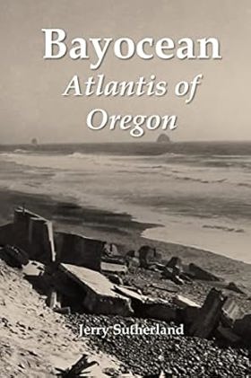
Like Plato's fictional island kingdom, most of Bayocean sank below the sea long ago. The rest lies buried beneath the shore pine, salal, and beach grass covering the four-mile-long spit that protects Tillamook Bay from the Pacific Ocean. This book chronicles the half-century this Oregon resort town existed, tells the stories of people who lived there, and explains its demise. Starting in 1907, urbanites in Oregon's Willamette Valley and across the Pacific Northwest were promised a grand resort where they could enjoy cool, ocean breezes during hot summers. Lots sold quickly at first, especially those along Bayocean's one-hundred-foot-high ridgeline where bay and ocean views were breathtaking. But Tillamook's remote location, an economic downturn, and insufficient financial reserves led to delays, litigation, and receivership. Though never grand, at one point or another Bayocean featured a massive natatorium, three hotels, forty-two rental cabins, a two-story mercantile, two restaurants, three dance halls, an amusement pavilion, and fifty-nine homes. Reed College students ran the resort one summer; a military academy for boys tried but failed another. A commune invigorated the town for a couple of years during the Great Depression, as did Coast Guard war dogs during World War II. These and other episodes in Bayocean's history make it more interesting than most, but the fact that nothing remains makes it matter. Erosion began pulling homes into the sea in the late 1920s and undercut the oceanside natatorium in 1932. As the spit's foredune continued to recede, more homes fell. In November 1952 a storm surge blew its narrow southern section into Tillamook Bay. Four years later, the Army Corps of Engineers built a breakwater to reconnect the island to Cape Meares, destroying what remained of the town in the process. It took geologists, geographers, and oceanographers two decades to figure out that the erosion had been caused by faulty jetty planning rather than natural forces. Their work prevented similar environmental disasters from occurring elsewhere. When Jerry Sutherland heard about Bayocean in 2014, he first read everything written about it. He then searched for additional information, traveling across the United States to look through personal and institutional archives. Along the way, he shared some of his discoveries with the public at www.bayocean.net and with the producers of television documentaries. But in his book, Sutherland shares it all.--Publisher
282 pages : illustration, maps, portraits ; 23 cm
CIRC [ 0 ]
Cheese war conflict and courage in Tillamook County, Oregon by Marilyn Milne , Linda Kirk

"In the 1960s, Tillamook County was at war with itself. As the regional dairy industry shifted from small local factories to larger consolidated factories, as food safety and factory conditions became more important, as the profit margins between milk and cheese collapsed, Tillamook farmers found themselves at a crossroads. How should the producers work with distributors, and how could they advocate for their businesses without pricing themselves out of the market? On one side of the debate was Beale Dixon, head of the County Creamery Association, the co-op that represented the county's farmers and packaged their products for the big dairy distributors in the Willamette Valley. Dixon set up a scheme to offer low-interest, low-collateral loans to the supermarkets that stocked CCA products; he argued it was a cheap, easy way to ensure good will-and continued purchases-in a tight market. On the other side was George Milne, a respected farmer and board member of Tillamook Cheese and Dairy Association, the largest producer in the CCA. Milne believed that Dixon's loan program amounted to fraud and embezzlement, and cheated the farmers out of money they were due. The question of loans soon spiraled out into a community-wide dispute, exacerbated by a complex web of family and business relationships that made conflicts of interest hard to avoid. Dixon worked for both CCA and Cheese and Dairy; he was fired from one but not the other. The Cheese War raged for the better part of a decade, across board meetings and courtrooms and the community itself. Co-op members traded recall petitions and rival factions distributed misleading petitions and letters. While largely unknown outside of Tillamook County, the Cheese War was so divisive that some families remain fractured today. Sisters Marilyn Milne and Linda Kirk were children of the Cheese War. In elementary school, they saw how it absorbed their parents, Barbara and George Milne. As adults, they realized they actually knew very little about it and set out to learn the real story. The authors have conducted years of research through the archives and newspapers of Tillamook County and conducted numerous interviews and oral histories of key players in the Cheese War and their families. As Americans become ever more interested in food supply chains and ethical consumption, here is a story of the very human factors behind one of Oregon's most famous brands"-- Provided by publisher
xiii, 220 pages : illustrations ; 23 cm
CIRC [ 0 ]
Manzanita, Nehalem, and Wheeler by Mark Beach , Nehalem Valley Historical Society
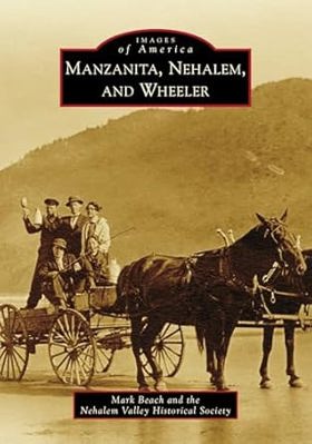
"Manzanita, Nehalem, and Wheeler are three villages in Oregon that function as one community. Located in the Nehalem Bay area of Oregon's Pacific coast, they share many essential services while maintaining different personalities as cities. The Nehalem Bay area includes Oswald West and Nehalem Bay State Parks, Neahkahnie Mountain, and a large bay where the Nehalem River enters the ocean. A few hardy souls made this area--the last part of the coast to be settled--in north Tillamook County their home starting in the 1870s. The new residents used industries such as dairy, logging, and tourism to harness the natural resources of their picturesque surroundings and develop their communities. Organizations such as the Pine Grove Community Club, the North County Recreation District, and the Hoffman Center for the Arts are just a few of the reasons these three villages attract thousands of tourists and visitors every year"-- Publisher's website
127 pages : illustrations, maps, portraits ; 24 cm.
CIRC [ 0 ]
The Nehalem River valley settling the big timberland by Stella Bellingham Satern
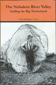
Stories about the pioneers who settled the Oregon wilderness of the Nehalem River valley, from the 1860s through the twentieth century
488 pages : illustrations ; 23 cm
CIRC [ 1 ]
The Nehalem Tillamook an ethnography by Elizabeth Derr Jacobs, William R. Seaburg
The first book-length ethnography of any Western Oregon native group, The Nehalem Tillamook fills an important gap in what was previously known about southern Northwest Coast native cultures. In 1933 and 1934, Elizabeth Jacobs, advised by her husband, the noted anthropologist Melville Jacobs, conducted fieldwork on the Nehalem Tillamook culture of northwestern Oregon. Working with her extraordinarily able Nehalem Tillamook consultant Clara Pearson, Jacobs recorded extensive ethnographic and folkloric materials that far surpass in quality and quantity the Tillamook research of previous investigators. Jacobs's collaboration with Pearson eventually resulted in the publication of Nehalem Tillamook Tales, an exceptional collection of myths and tales recorded in English. But the companion ethnography was never finished. The Nehalem Tillamook grew from that unfinished manuscript. In consultation with Elizabeth Jacobs, the manuscript was expanded and extensively edited by William Seaburg. After Elizabeth Jacobs's death in 1983, Seaburg added careful annotations and a detailed historical introduction. The result is a remarkable book that makes a major contribution to our understanding of Nehalem Tillamook culture and will be invaluable for drawing comparisons with other Northwest native cultures.
xii, 260 pages : illustrations, maps ; 23 cm
CIRC [ 0 ]
Koom of the Tillamooks by Margaret Watt Edwards, Roger Cooke (Illustrator)
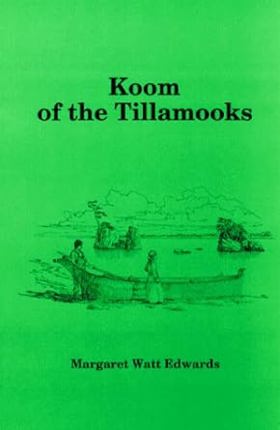
Koom of the Tillamooks, written by Margaret Watt Edwards and illustrated by Roger Cooke, is a historical fiction story aimed at middle-grade readers. The narrative centers on the title character, Koom, who finds himself unable to remain with the last few surviving Tillamook Native Americans living along Oregon's Tillamook Bay. Feeling equally alienated and uncomfortable in the encroaching white man's world, Koom makes the difficult decision to forge his own path. The plot follows his journey as he prepares to isolate himself and spend the upcoming winter surviving entirely off the land.
178 pages : illustrations ; 24 cm
CIRC [ 1 ]
Bayocean the Oregon town that fell into the sea by Bert Webber, Margie Webber
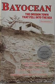
This documentary shows the erosion that took place in Bayocean, Oregon with dozens of historic and current photographs, maps, unique cartoons, bibliography, index. The book also Salishan, Nestucca, Cape Lookout State Park, Newport and Jump-Off Joe, the Southern Oregon Coast, Washington's "wash-away" beach, the total destruction of Cape Showalter, and other places.
vi, 206 pages ; 22 cm
CIRC [ 1 ]
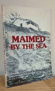
Maimed by the sea erosion along the coasts of Oregon and Washington : a documentary by Bert Webber, Margie Webber
Nehalem Tillamook tales by Elizabeth derr Jacobs, Melville Jacobs
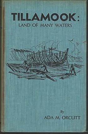
Tillamook land of many waters by Ada M. Orcutt
Tillamook County
- Aldervale
- Barnegat (historical)
- Barnesdale
- Barview
- Batterson
- City of Bay City
- Bayocean (historical)
- Bayside Gardens
- Beaver
- Blaine
- Boyer
- Brighton
- Cape Meares
- Cloverdale
- Enright
- Fairview
- Foley (historical)
- Foss
- City of Garibaldi
- Happy Hollow
- Hathaway Mead
- Hebo
- Hemlock
- Hobsonville
- Idaville
- Jordan Creek
- City of Manzanita
- Meda
- Mohler
- Neahkahnie
- Neahkahnie Beach
- Nedonna Beach
- City of Nehalem
- Nenamusa (historical)
- Neskowin
- Netarts
- Oceanside
- Oretown
- Pacific City
- Pleasant Valley
- City of Rockaway Beach
- Saltair (historical)
- Sandlake
- Tierra Del Mar
- City of Tillamook
- Twin Rocks
- City of Wheeler
- Wheeler Heights
- Woods
Political Boundaries
Last updated: 2026-09-12