Bayocean (historical) Tillamook County, Oregon
Mapped Location
Bayocean (historical): The mapped location is an approximation and should not be used for navigation or wayfinding.
Information
General information on Bayocean (historical)
- Feature Type: Place
Official, historical, colloquial and alternative toponyms for Bayocean (historical)
A brief list of names that this geographic feature has been named
| Name | Description |
|---|---|
| Bayocean (historical) | Official |
Related Catalog Titles
A Bibliography for Bayocean (historical), Tillamook County, Oregon
Bayocean Atlantis of Oregon by Jerry Sutherland
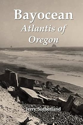
Like Plato's fictional island kingdom, most of Bayocean sank below the sea long ago. The rest lies buried beneath the shore pine, salal, and beach grass covering the four-mile-long spit that protects Tillamook Bay from the Pacific Ocean. This book chronicles the half-century this Oregon resort town existed, tells the stories of people who lived there, and explains its demise. Starting in 1907, urbanites in Oregon's Willamette Valley and across the Pacific Northwest were promised a grand resort where they could enjoy cool, ocean breezes during hot summers. Lots sold quickly at first, especially those along Bayocean's one-hundred-foot-high ridgeline where bay and ocean views were breathtaking. But Tillamook's remote location, an economic downturn, and insufficient financial reserves led to delays, litigation, and receivership. Though never grand, at one point or another Bayocean featured a massive natatorium, three hotels, forty-two rental cabins, a two-story mercantile, two restaurants, three dance halls, an amusement pavilion, and fifty-nine homes. Reed College students ran the resort one summer; a military academy for boys tried but failed another. A commune invigorated the town for a couple of years during the Great Depression, as did Coast Guard war dogs during World War II. These and other episodes in Bayocean's history make it more interesting than most, but the fact that nothing remains makes it matter. Erosion began pulling homes into the sea in the late 1920s and undercut the oceanside natatorium in 1932. As the spit's foredune continued to recede, more homes fell. In November 1952 a storm surge blew its narrow southern section into Tillamook Bay. Four years later, the Army Corps of Engineers built a breakwater to reconnect the island to Cape Meares, destroying what remained of the town in the process. It took geologists, geographers, and oceanographers two decades to figure out that the erosion had been caused by faulty jetty planning rather than natural forces. Their work prevented similar environmental disasters from occurring elsewhere. When Jerry Sutherland heard about Bayocean in 2014, he first read everything written about it. He then searched for additional information, traveling across the United States to look through personal and institutional archives. Along the way, he shared some of his discoveries with the public at www.bayocean.net and with the producers of television documentaries. But in his book, Sutherland shares it all.--Publisher
282 pages : illustration, maps, portraits ; 23 cm
CIRC [ 0 ]
Bayocean the Oregon town that fell into the sea by Bert Webber, Margie Webber
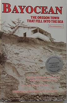
This documentary shows the erosion that took place in Bayocean, Oregon with dozens of historic and current photographs, maps, unique cartoons, bibliography, index. The book also Salishan, Nestucca, Cape Lookout State Park, Newport and Jump-Off Joe, the Southern Oregon Coast, Washington's "wash-away" beach, the total destruction of Cape Showalter, and other places.
vi, 206 pages ; 22 cm
CIRC [ 1 ]
Maimed by the sea erosion along the coasts of Oregon and Washington : a documentary by Bert Webber, Margie Webber
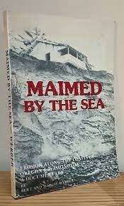
Tillamook County
- Aldervale
- Barnegat (historical)
- Barnesdale
- Barview
- Batterson
- City of Bay City
- Bayocean (historical)
- Bayside Gardens
- Beaver
- Blaine
- Boyer
- Brighton
- Cape Meares
- Cloverdale
- Enright
- Fairview
- Foley (historical)
- Foss
- City of Garibaldi
- Happy Hollow
- Hathaway Mead
- Hebo
- Hemlock
- Hobsonville
- Idaville
- Jordan Creek
- City of Manzanita
- Meda
- Mohler
- Neahkahnie
- Neahkahnie Beach
- Nedonna Beach
- City of Nehalem
- Nenamusa (historical)
- Neskowin
- Netarts
- Oceanside
- Oretown
- Pacific City
- Pleasant Valley
- City of Rockaway Beach
- Saltair (historical)
- Sandlake
- Tierra Del Mar
- City of Tillamook
- Twin Rocks
- City of Wheeler
- Wheeler Heights
- Woods
Political Boundaries
Last updated: 2025-09-23