Mason County County
Mason County was formed out of King County on March 13, 1854. Originally named Sawamish County, it took its present name in 1864 in honor of Charles H. Mason, the first Secretary of Washington Territory
Mapped Location
Mason County: The mapped location is an approximation and should not be used for navigation or wayfinding.
Information
General information on Mason County
- Feature Type: County
- County Seat: City of Shelton
- Established: Monday, March 13, 1854
Official, historical, colloquial and alternative toponyms for Mason County
A brief list of names that this geographic feature has been named
| Name | Description |
|---|---|
| Mason County | Official |
| Sawamish County | Historical |
Origin Notes and History of Mason County
References to Mason County that document the origin of its place name

MASON COUNTY, organized by act of the legislature dated March 13, 1854, under the Indian name of Sawamish County. On January 3, 1864, the name was changed to honor Charles H. Mason, first secretary of the. Territory of Washington, who had died in 1859 after gallant and efficient services as secretary and acting governor during the Indian wars. He had graduated from Brown University in 1850. (H. H. Bancroft: Works, Volume XXXI pages 77 and 211.)
Related Catalog Titles
A Bibliography for Mason County, County
Tales of Hood Canal by Ethel M. Dalby, Valerie Abrams Johnson, Mason County Historical Society (Wash)
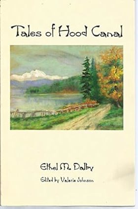
Published by the Mason County Historical Society and co-authored by Ethel M. Dalby and Valerie Abrams Johnson, Tales of Hood Canal compiles rich local lore, vintage photographs, and personal recollections documenting the historic communities along Washington's dramatic fjord. The book chronicles the lives of early loggers, oyster growers, homesteaders, and maritime traders who navigated the deep, glacier-carved waters of the canal before the arrival of modern highways. Through collected anecdotes and archival records, the text preserves the distinct character of isolated waterfront settlements shaped by the rhythms of the tides and dense surrounding forests. A keen insight drawn from the work is how a winding marine waterway served simultaneously as a barrier and a highway; while the steep topography of the Hood Canal kept communities geographically sequestered from inland urban centers, the water itself provided the vital commercial and social umbilical cord that tied them to the broader Puget Sound economy.
ix, 137 pages : illustrations ; 22 cm
CIRC [ 1 ]
Tales from a Tahuya log second growth by Helen Huson Olsen, Effie DeForest Boyer Knowlton

Authored by Helen Huson Olsen and Effie DeForest Boyer Knowlton, Tales from a Tahuya Log: Second Growth preserves the rustic folklore, pioneer genealogy, and personal recollections of early settlement along the Tahuya Peninsula on Washington's Hood Canal. The book captures the unglamorous day-to-day realities of homesteading, logging, and raising families in a densely forested, isolated region where neighbors were separated by miles of wilderness rather than paved roads. Through charming anecdotes and local family histories, the text chronicles how a distinct, resilient community was hewed out of the second-growth timberland. A keen insight drawn from the work is how the concept of "second growth" serves as an apt metaphor for the psychological landscape of frontier children; just as new trees vigorously sprouted from the logged stumps of the original forest, the second generation of settlers had to grow sturdy and resourceful in the literal shadow of their parents' exhausting labor.
159 pages : illustrations, map ; 28 cm
CIRC [ 1 ]
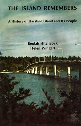
The island remembers a history of Harstine Island and its people by Beulah Hitchcock, Helen Wingert, Harstine Women's Club (Shelton, Wash)
Postmarked Washington Jefferson, Clallam & Mason counties by Guy Reed Ramsey
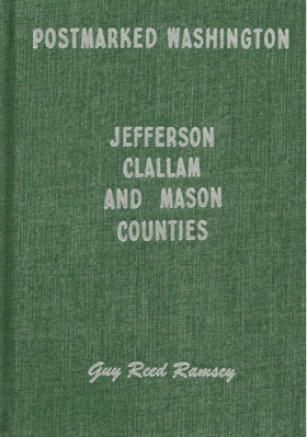
This is the story of the settlers and settlements of three counties on the Olympic Peninsula of Washington, with emphasis on stories of the postal service and postmasters that served the area. Examples of towns included are Port Angeles, Port Townsend, Sequim, Shelton, Forks, and Neah Bay. Hardbound, 180 pages, 6 x 9 inches. Included are maps, photographs, and sketches.
180 pages : illustrations ; 24 cm
CIRC [ 1 ]
Mason County
- Agate
- Allyn
- Arcadia
- Ayock
- Ballow
- Bayshore
- Belfair
- Brockdale
- Carmill Station
- Dayton
- Deckerville
- Detroit (historical)
- Dewatto
- Eldon
- Fair Harbor
- Forbes
- Forest Beach
- Frisken Wye
- Graham Point
- Grant
- Grapeview
- Hamma Hamma
- Hartstene
- Hoodsport
- Kamilche
- Lilliwaup
- Little Hoquiam
- Marmac
- Matlock
- Mohrweis
- New Kamilche
- Oakland
- Potlatch
- Rose Point
- City of Shelton
- Skokomish
- Stimson
- Sunbeach
- Sunset Beach
- Tahuya
- Triton
- Union
- Victor
- Walkers Landing
Political Boundaries
Last updated: 2025-09-23