Clallam County County
The name is a Klallam word for "the strong people". The county was formed on April 26, 1854. Quillehuyte County was split from Jefferson and Clallam counties in 1868 and returned to those counties a year later.
Mapped Location
Clallam County: The mapped location is an approximation and should not be used for navigation or wayfinding.
Information
General information on Clallam County
- Feature Type: County
- County Seat: City of Port Angeles
- Established: Wednesday, April 26, 1854
Official, historical, colloquial and alternative toponyms for Clallam County
A brief list of names that this geographic feature has been named
| Name | Description |
|---|---|
| Clallam County | Official |
Origin Notes and History of Clallam County
References to Clallam County that document the origin of its place name

CLALLAM, the name of a once powerful Indian tribe, which name has developed into a number of geographic terms. Rev. Myron Eells believes that the word has developed from the Twana Indian name Do-skal-ob applied to the Clallam Indians and meaning "big brave nation." In the so-called Point-no-Point Treaty, January 26, 1855, Governor Stevens wrote the name "S'Klallam." (Indian Laws and Treaties, Volume II., page 674.) The Territorial law creating the county of that name, approved April 26, 1854, had the name written "Clalm." Clallam Bay, off the Strait of Juan de Fuca, was called "Ensenada de Roxas," Quimper, 1790, and Galiano and Valdes, 1792. George Davidson says the Indian name of the bay was Kla-kla-wier. (Pacific Coast Pilot, page 524.) The present name was given to the bay on the British Admiralty Chart 1911, Kellett, 1847, but it was there spelled Callam. The same chart shows the west cape of Port Discovery as "Challam Point," which shows poor spelling of the same name for both places. The British Admiralty Chart 2689, Richards, 1858-1859, corrects the spelling to Clallam Point. The Wilkes Expedition, 1841, had given this point the name of "North Bluff," but it did not persist. The same fate befell the Spanish name of 1790, "Punta de San Juan." (Manuel Quimper chart in United States Public Documents, Serial Number 1557.) At Clallam Bay a creek empties into the Strait of Juan de Fuca, which is called Clallam River.
Related Catalog Titles
A Bibliography for Clallam County, County
Maritime names of Washington by Richard W. Blumenthal
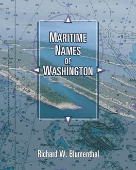
Maritime Names of Washington is a wonderful companion if you are a boating enthusiast or simply curious about Washington’s maritime history. This book is a scholarly study on the origins of place names for our coastal and inland waters. It covers every name that appears on current nautical charts, from the Pacific Coast to the Strait of Juan de Fuca, the San Juans, and Puget Sound from Port Townsend to Olympia. It includes every named island, bay, point, inlet, pass, harbor, rock, channel, strait, canal, peninsula, sound, and shoal. The book also features many local and historical names that are not shown on the charts. The manuscript generally identifies the individual who named the place, when, why, and for whom. It also identifies the chart where the name first appeared and the early settlement history of many places. The manuscript is richly annotated and uses many quotes from the observations of our earliest explorers to give readers a glimpse of what Puget Sound country looked like 200+ years ago. Each of our early explorations is discussed in detail as they relate to individual place names. The book contains 170 pictures and 44 historical nautical charts from 1790 to 1900 that show many of the names
ix, 501 pages : illustrations, maps, charts ; 26 cm
CIRC [ 1 ]
Trails & trials of the pioneers of the Olympic Peninsula, State of Washington by Jann Castleberry (Compiler)
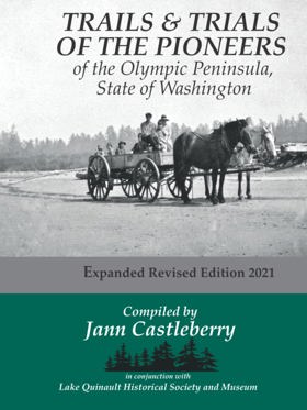
“In Grays Harbor's historical record Trails & Trials of the Pioneers stands alone as an enduring trove of firsthand settler stories. ... the book came to fruition after years of conducting interviews, collecting written recollections, and compiling them into scrapbooks. ... Jann Castleberry’s revised fourth edition … is a fresh and expanded version of Cleland’s original. Historic photographs sourced from individuals, museums, and archives provide a valuable visual supplement to the original text. Castleberry also solicited new submissions from Quinault area residents whose stories compliment those captured so many years ago.”--Introduction
247 pages : illustrations, maps, portraits ; 22 cm
CIRC [ 0 ]
Ozette excavating a Makah whaling village by Ruth Kirk
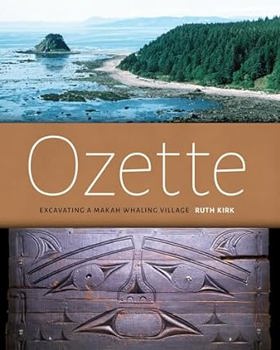
Makah families left the coastal village of Ozette in the 1920s to comply with the federal government's requirement that they send their children to school, and by doing so they ended nearly 2000 years of occupation at this strategic whale- and seal-hunting site on Washington's Olympic Peninsula ologist Richard Daugherty took note of the site in a survey of the coast in 1947 and later returned at the request of the Makah tribal chairman when storm waves began exposing both architecture and artifacts. Full-scale excavations from 1966 to 1981 evealed houses and their contents--including ordinarily perishable wood and basketry objects that had been buried in a mudflow well before the arrival of Europeans in the region
xvii, 102 pages : illustrations, maps ; 26 cm
CIRC [ 1 ]
A sound defense military sites, lighthouses, and memorials of Puget Sound by Nancy L. McDaniel
"A Sound Defense" is a comprehensive description of military sites of Puget Sound. Military historical sites in the twelve counties (Whatcom, Skagit, Snohomish, San Juan, Island, King, Pierce, Thurston, Mason, Kitsap, Clallam and Jefferson) are described with an emphasis on the unique things which happened there. Over 150 pictures and maps are included. Nancy McDaniel, Colonel, USAF, MSC (Retired) is a Washington State native and brings a love of the area and combines that with a perspective on the contributions that the military has had on Western Washington. "A Sound Defense" describes blockhouses built during the Indian conflicts. It addresses "The Pig War" and the politics of the international relationships which helped establish the boundaries of the United States. Forts built to protect Puget Sound as a result of the decisions of the Endicott Board are described along with the personalities of the commanders and personnel who were assigned there. Long forgotten installations established to provide early warning of approaching enemy aircraft are prominent in this comprehensive book. Lighthouses throughout the area are highlighted with the inclusion of historical photos and stories of early lightkeepers. Most importantly, "A Sound Defense" recognizes the contributions of military personnel throughout the years by the inclusion of memorials and facilities dedicated to recognizing their service to the country.
xvi, 365 pages : illustrations, maps ; 23 cm
CIRC [ 1 ]
Tracks, trails, and tales in Clallam County, state of Washington by Harriet U. Fish
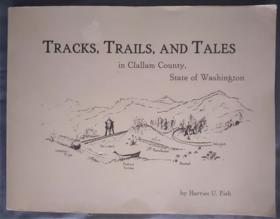
Published by local historian Harriet U. Fish, Tracks, Trails, and Tales in Clallam County, State of Washington chronicles the rugged pioneering history and frontier development of the Olympic Peninsula's northernmost reaches. The book captures the arduous experiences of early homesteaders, loggers, and native communities who navigated dense rain forests, uncharted coastal waters, and punishing mountain passes to build isolated settlements. Through first-person accounts, archival records, and local folklore, the text preserves the vanishing daily rhythms of a remote region shaped by timber extraction and maritime trade. A keen insight drawn from the work is how the geographic isolation of the Olympic Peninsula inverted standard settlement patterns; because dense wilderness and fierce coastal weather made overland travel nearly impossible, early Clallam County communities were often more closely tethered by steamship routes to distant Seattle and Victoria than to the rest of their own state.
214 pages : illustrations ; 22 x 28 cm
CIRC [ 1 ]
Postmarked Washington Jefferson, Clallam & Mason counties by Guy Reed Ramsey
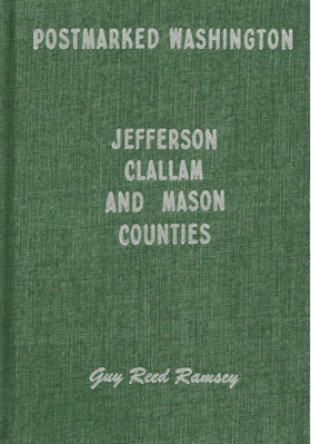
This is the story of the settlers and settlements of three counties on the Olympic Peninsula of Washington, with emphasis on stories of the postal service and postmasters that served the area. Examples of towns included are Port Angeles, Port Townsend, Sequim, Shelton, Forks, and Neah Bay. Hardbound, 180 pages, 6 x 9 inches. Included are maps, photographs, and sketches.
180 pages : illustrations ; 24 cm
CIRC [ 1 ]
Dungeness, the lure of a river a Bicentennial history of the east end of Clallam County by Sequim Bicentennial Committee, Virginia Keeting
Jimmy come lately, history of Clallam County. A symposium by Jervis Russell
Port Angeles, U.S.A. by John D. McCallum, Lorraine Wilcox Ross , James Warner Bellah (Writer of introduction)

197 pages, 32 unnumbered pages of plates : illustrations, map (on lining papers), portraits ; 24 cm
CIRC [ 1 ]
Clallam County
- Agnew
- Beaver
- Bell Hill
- Blyn
- Carlsborg
- Clallam Bay
- Classet
- Coville
- Crane
- Crescent
- Disque
- Dungeness
- Elwha
- City of Forks
- Happy Valley
- Jamestown
- Joyce
- King Hill
- La Push
- Little Oklahoma
- Lower Elwha
- Maple Grove
- Midway
- Mora
- Mount Pleasant
- Neah Bay
- Old Royal
- Old Town
- Olympic Hot Springs
- Ovington
- Ozette
- Piedmont
- City of Port Angeles
- Port Crescent
- Port Williams
- Pysht
- Quillayute
- R Corner
- Ramapo
- Rena
- River Road
- Sappho
- Sekiu
- City of Sequim
- Shadow
- Shuwah
- Snug Harbor
- Tsoo-Yess
- Twin
- Waatch
- Washington Harbor
- Whiskey Bend
- Windy Arm
Political Boundaries
Last updated: 2025-09-23