Altoona Wahkiakum County, Washington
Mapped Location
Altoona: The mapped location is an approximation and should not be used for navigation or wayfinding.
Information
General information on Altoona
- Feature Type: Place
Official, historical, colloquial and alternative toponyms for Altoona
A brief list of names that this geographic feature has been named
| Name | Description |
|---|---|
| Altoona | Official |
A Selected Bibliography of Altoona, Wahkiakum County, Washington
A compilation of essential readings detailing the history, geography, and culture of the region.
Altoona, Wahkiakum County, Washington by Carlton E. Appelo
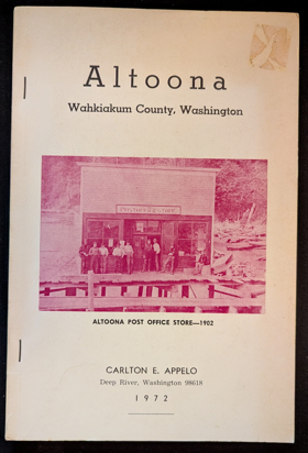
Altoona, Wahkiakum County, Washington examines the isolated industrial cannery settlement and intense maritime resource extraction situated along the steep, heavily timbered northern banks of the lower Columbia River estuary. Appelo details how the region's rugged estuarine topography—specifically the precipitous coastal bluffs plunging directly into the tidewater, the sprawling tidal mudflats, and the powerful, nutrient-rich currents of the Columbia's lower reach—strictly dictated the margins of commercial salmon packing, early pioneer homesteading, and local transportation. By mapping the construction of massive cannery complexes and pile-driven fish traps built precariously out over the water, functioning entirely independent of the rugged overland terrain through a total reliance on riverboat transit, the narrative highlights how this specific riparian geography anchored a highly specialized, water-bound economy. Ultimately, this community record serves as a deeply localized spatial history, demonstrating how the severe overland isolation, immense estuarine abundance, and dominant hydrological forces of this Pacific Northwest waterway fundamentally shaped the highly resilient, cannery-driven character of early Altoona.
88 pages illustrations 23 cm
Non-circulating [ 1 ]
Wahkiakum County
- Altoona
- Brookfield
- Carlson Landing
- Town of Cathlamet
- Dahlia
- Deep River
- Eagle Cliff
- East Cathlamet
- Eden
- Flandersville
- Grays River
- Oneida
- Rosburg
- Skamokawa
- Sleepy Hollow
- State Camp
- Svensens Landing
- Waterford
Political Boundaries
Last updated: 2011-01-29