Rosario San Juan County, Washington
Mapped Location
Rosario: The mapped location is an approximation and should not be used for navigation or wayfinding.
Information
General information on Rosario
- Feature Type: Place
Official, historical, colloquial and alternative toponyms for Rosario
A brief list of names that this geographic feature has been named
| Name | Description |
|---|---|
| Rosario | Official |
Origin Notes and History of Rosario
References to Rosario that document the origin of its place name

ROSARIO, a well known name in the vicinity of the San Juan Archipelago. It was first applied in 1791 by the Spanish Captain Eliza to what is now the Gulf of Georgia. The original Spanish name was "Gran Canal de Nuestra Senora del Rosario la Marinera," About the same time, the Spaniards named the present Rosario Strait "Boca de Fidalgo." (Chart reproduced in United States Public Documents, Serial Number 1557.) The Wilkes Expedition, 1841, named Rosario Strait "Ringgold's Channel," an honor intended for Lieutenant Cadwalader Ringgold of the expedition. In 1847, Captain Henry Kellett shifted part of the long Spanish name from the Gulf of Georgia and chartered Rosario Strait. (British Admiralty Chart 1911.) That name has persisted. It is the boundry between San Juan and Skagit Counties. For a time a postoffice on Fidalgo Island, in the southwestern part of Skagit County bore the name "Rosario." In more recent years, Robert Moran has applied the name to his beautiful home on the eastern shore of East Sound, Orcas Island. There is now a postoffice at his place called Rosario.
Related Catalog Titles
A Bibliography for Rosario, San Juan County, Washington
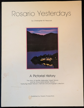
Rosario yesterdays a pictorial history by Christopher M. Peacock, Robert Moran
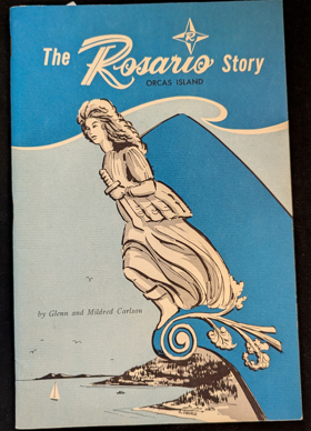
The Rosario story, Orcas Island by Glenn Carlson, Mildred Carlson
San Juan County
- Argyle
- Beach Haven
- Buckhorn
- Camp Orkila
- Decatur
- Deer Harbor
- Doe Bay
- Dolphin
- Eastsound
- Town of Friday Harbor
- Islandale
- Lakedale
- Lopez
- Olga
- Orcas
- Port Stanley
- Prevost
- Richardson
- Roche Harbor
- Rosario
- Sea Acre
- Shaw Island
- Thatcher
- Waldron
- West Beach
- West Sound
- Yacht Haven
Political Boundaries
Last updated: 2025-09-23