Saltspring Island Feature
Island - Land area surrounded by water or marsh. Largest of the Gulf Islands, E of Duncan off SE side of Vancouver Island, Saltspring Island Land District
Mapped Location
Saltspring Island: The mapped location is an approximation and should not be used for navigation or wayfinding.
Information
General information on Saltspring Island
- Feature Type: Feature
Official, historical, colloquial and alternative toponyms for Saltspring Island
A brief list of names that this geographic feature has been named
| Name | Description |
|---|---|
| Saltspring Island | Official |
Origin Notes and History of Saltspring Island
References to Saltspring Island that document the origin of its place name
Saltspring Island adopted by the Geographic Board of Canada 1 March 1910 on Geological Survey sheet 21A, Saanich. Local preference continues to be divided more or less evenly between the 1-word and 2-word form: Saltspring or Salt Spring.
Had been labelled "Chuan Island" on "Plan to accompany the Report of a Canoe Expedition along the East Coast of Vancouver Island" by Governor James Douglas, 1854; spelled "Chouan" elsewhere. The name "Saltspring" was given early by Hudson's Bay Company officers who were interested in obtaining salt from the fourteen briny springs on this island. Labelled "Saltspring Island" on Joseph Pemberton's "Map of Southeastern Vancouver Island", produced for the Hudson's Bay Company in 1855, and on a map to accompany Capt. W. Colquhoun Grant's "Description of Vancouver Island", 1856.
"Saltspring Island... given by the officers of the Hudson's Bay Company, because a number of springs of brine (3,446 grains of salt to the imperial gallon) exist on the island, was changed by Captain Richards on surveying the surrounding waters in 1859, to 'Admiral island'. The first settlers arrived on the island in 1859. Locally, notwithstanding the surveyor's change, the island has always been known as Saltspring, and consequently this name was re-adopted by the Geographic Board of Canada in 1905..." [note that "Saltspring Island" was not actually adopted by the Geographic Board of Canada until 1 March 1910, according to a June 1910 letter from GBC, file V.1.10 ]
"Regarding the name of Admiral island, Captain Richards when surveying here evidently wished to associate the island with Rear Admiral Baynes, commanding at the time, 1857-1860, the Pacific station, his flagship, staff and officers etc. He therefore named the highest mountain Baynes, and the island Admiral; Ganges harbour after the flagship; Fulford harbour after the captain; Burgoyne bay after the commander; Southey point after the admiral's secretary; Mount Bruce after the previous commander in chief; and Cape Keppel after a friend of Admiral Baynes."
Ranfurley Island was the Hudson's Bay Company name for Saltspring Island. (from SHALE: Journal of the Gabriola Historial & Museum Society; Nick Doe editor)
A Selected Bibliography of Saltspring Island, Feature
A compilation of essential readings detailing the history, geography, and culture of the region.
Forgotten Cusheon Cove, Salt Spring Island by Charles Kahn, C. T. Hatfield
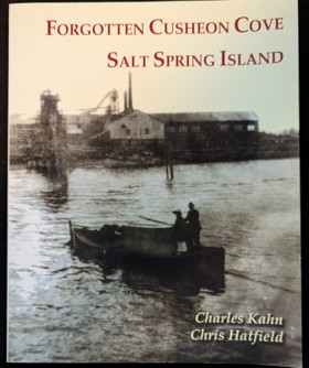
Imagine it's 1915 and you're on a small island in the Strait of Georgia with a population of just over 900. Now imagine a large sawmill with what was then state-of-the-art machinery on an isolated cove on the southeast side of the island. The mill employs up to 150 workers, many of them non-resident Norwe-gians, Swedes, Japanese, and Chinese. This is only a fragment of the story Chris Hatfield researched after he acquired the 100-acre site in 1984 and began finding items discarded by the different communities that had once lived there. Chris partly donated and partly sold most of the land to BC Parks in 2006. This little book explores the property's history.
53 p. : ill., maps, ports. ; 26 cm.
Non-circulating [ 1 ]
An historical guide to the landmarks, events, activities, parks, beaches, plants and wildlife, accommodations, restaurants, shops and services available on Salt Spring Island, British Columbia. This book features charming stories of the early pioneers and offers over 200 photographs, easy-to-read map, where to stay, shop, eat and explore, points of interest, how to get around, list of major island events and activities, as well as where to see plants and wildlife. This book presents Salt Spring Island in a way no other book has. Meet the postman of the 19th century and explore what Salt Spring has to offer today, while taking a trip back in time.
242 pages : illustrations ; 21 cm.
Non-circulating [ 1 ]
Salt Spring the story of an island by Charles Kahn
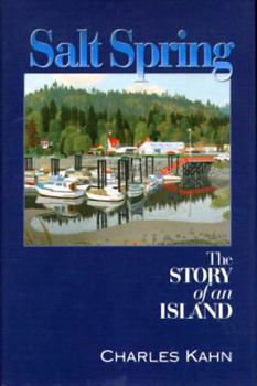
The largest of BC's southern Gulf Islands, beautiful Salt Spring Island has long been a favoured holiday destination and a prized real-estate area for those in search of an idyllic rural residence. Now available in trade paper, Salt Spring: The Story of an Island chronicles the island's rich history from the days when Coast Salish people inhabited Salt Spring's shores, through some 150 years of settlement by many diverse groups. Because of the island's rugged geography, the early story of Salt Spring is largely the story of hard-working people in small isolated communities industriously carving farms out of rough terrain. Many of the settlers who followed came to find a place where they could live their lives free of the constraints of most societies. This was as true for the African-Americans, many of whom were among the first non-aboriginal settlers to arrive in 1859, as it was for those fleeing conventional middleclass life and for Americans seeking to avoid the Vietnam War. And it's true of almost every new islander who arrives today with a unique personal dream.
344 pages : illustrations, maps, portraits ; 24 cm
Non-circulating [ 1 ]
Sitting on a salt spring by David Conover
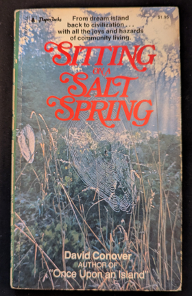
Sitting on a Salt Spring chronicles the ongoing challenges and profound isolation of maintaining a remote island resort amidst the rugged Gulf Islands archipelago in the marine waters of British Columbia. Conover details how the small, forested landmass of Wallace Island—surrounded by the treacherous tidal currents and sudden squalls of the Strait of Georgia—demanded relentless physical labor to sustain basic infrastructure and a tenuous maritime lifeline to the mainland. By anchoring his narrative to specific rocky coves, weathered docks, and dense stands of coastal timber, the author illustrates how the island's imposing natural barriers actively dictated the daily rhythms of survival and coastal hospitality. Ultimately, the book serves as a deeply localized environmental memoir, capturing how the beautiful yet unforgiving marine topography of the Pacific Northwest inextricably shaped a fiercely self-reliant, water-bound existence.
160 pages ; 18 cm
Non-circulating [ 1 ]
Salt Spring Island by Bea Hamilton
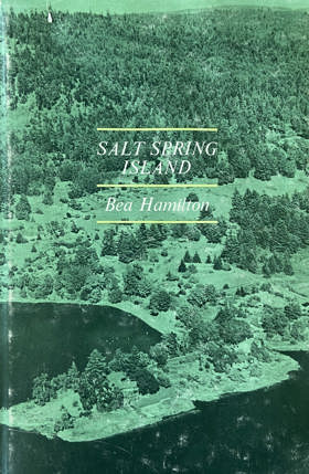
Salt Spring Island by Bea Hamilton is a 1969 local history that chronicles the early settlement and community development of the prominent British Columbia Gulf Island. Written by a lifelong resident from a pioneering family, the book offers an affectionate, firsthand perspective on the island's diverse founders—including English, American, Hawaiian, and Black settlers—and its enduring tradition of rural self-sufficiency. Ultimately, it serves as both a nostalgic personal account and a valuable historical record of the region's pioneering era before modern development transformed the landscape. Officially spelled Saltspring Island.
xi, 180 pages illustrations, maps, portraits 24 cm
Non-circulating [ 1 ]
Salt Spring Island, British Columbia by Edward F. Wilson
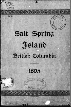
Originally marked on the naval charts of 1858 as "Admiral Island," it has of late years altogether dropped that name, and is now known both popularly, and also in the more recently published maps, as Salt Spring Island^ — the saline springs, of which there are some 14 or 15 on the island, being sufficient reason for its present name
30 pages : illustrations, map
ONLINE Circulation [ 1 ]
Last updated: 2026-10-14