South Pender Island Feature
Mapped Location
South Pender Island: The mapped location is an approximation and should not be used for navigation or wayfinding.
Information
General information on South Pender Island
- Feature Type: Feature
Official, historical, colloquial and alternative toponyms for South Pender Island
A brief list of names that this geographic feature has been named
| Name | Description |
|---|---|
| South Pender Island | Official |
A Selected Bibliography of South Pender Island, Feature
A compilation of essential readings detailing the history, geography, and culture of the region.
An historical guide to Pender Islands landmarks, events, activities, parks, beaches, plants & wildlife, accomodations, restaurants, shops & services by V. A. Lindholm
Published in local editions by V. A. Lindholm, An Historical Guide to Pender Islands Landmarks, Events, Activities, Parks, Beaches, Plants & Wildlife... serves as a comprehensive regional compendium for navigating the natural and human history of the Southern Gulf Islands. The guide meticulously catalogs local heritage sites, indigenous place names, early pioneer settlements, and the diverse marine and terrestrial ecosystems that define the Pender Islands. By weaving practical travel logistics together with deep historical context, the book bridges the gap between a standard visitor directory and an environmental chronicle. A keen insight drawn from the text is how community-compiled island guidebooks often act as quiet acts of ecological and cultural preservation; by meticulously detailing the specific natural habitats and historical idiosyncrasies of a small archipelago, the text implicitly teaches visitors how to respectfully inhabit a fragile insular ecosystem without loving it to death.
111, [26] pages : illustrations ; 21 cm
Non-circulating [ 1 ]
A Gulf Islands patchwork some early events on the islands of Galiano, Mayne, Saturma, North and South Pender by British Columbia Historical Association Gulf Islands Branch
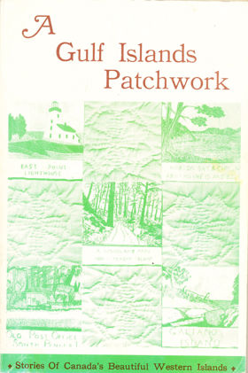
The British Columbia Historical Association’s A Gulf Islands Patchwork provides a fragmented but intimate pioneer chronicle of the sprawling Southern Gulf Islands archipelago, specifically detailing early settlement on Galiano, Mayne, Saturna, and the Penders. The narrative maps the defining, water-bound topography of these rugged landmasses, scattered across the treacherous tidal currents of the Strait of Georgia. By detailing the early establishment of remote lighthouses, coastal homesteads, and vital ferry landings, the book illustrates how the sheer physical isolation of this marine environment dictated every aspect of daily survival and community integration. The text highlights how early indigenous populations and subsequent pioneer settlers were forced to rely entirely on volatile aquatic highways—most notably navigating the violent, rip-tide currents of Active Pass—as dense, rocky interiors severely restricted overland transit and large-scale agriculture. Ultimately, the collection captures the profound environmental constraints of this coastal frontier, demonstrating how mastering complex maritime navigation and adapting to the unyielding isolation of a fractured island geography were the absolute prerequisites for establishing a viable, interconnected pioneer society along the remote Pacific seaboard.
192 pages : illustrations ; 23 cm
Non-circulating [ 1 ]
Last updated: 2025-09-23