Catalog of British Columbiana and Pacific Northwest Americana
Encyclopedia Cascadia Catalog contains book titles of mostly non-fiction Pacific Northwest Coast of North America Titles (primarially British Columbia, Idaho, Oregon and Washington State) in an easy-to-understand title catalog. If you see a link with this badge ONLINE CIRC it means that there is an online institution that provides free access to that title. In some cases there may be more than one institution hosting the title digitally.
| Catalog Title | Published |
|---|---|
|
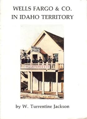
Wells, Fargo & Co. in Idaho Territory by W. Turrentine Jackson, Idaho State Historical Society
|
1984 |
|
We claimed this land Portland's pioneer settlers by Eugene E. Snyder 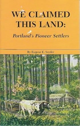
A collection of biographical sketches profiling the 212 pioneers who settled the land that is now Portland, Oregon xxv, 289 pages : maps, portraits ; 23 cm CIRC [ 1 ]
|
1989 |
|
Watershed moments a pictorial history of Courtenay and district by Christine Dickinson , Judy Hagen , Deborah Griffiths , Catherine Siba , Courtenay and District Museum (Issuing body) 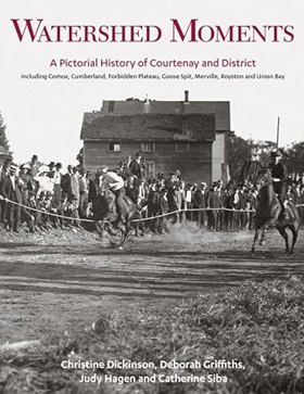
"In Watershed Moments, the Courtenay and District Museum opens its vast collection of historical photographs, glass plate negatives and other ephemera, much of which has never before been available to public viewing. Spanning from the late 1800s to the modern era, here are scenes of K'ómoks village life, boating parties, family celebrations, agricultural events and economic activities. This visual depiction of the development of this region is reinforced by a lively text, drawing heavily on the museum's vast holdings of primary source material."-- Provided by publisher xi, 195 pages : illustrations (some color), maps, portraits (some color) ; 29 cm CIRC [ 1 ]
|
2015 |
|
Waterfall hikes in southern British Columbia by Steve Tersmette 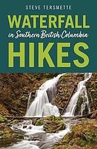
A guide to hiking routes to and around waterfalls and cascades in the BC Rockies, Southern Interior and Okanagan 224 pages : colour illustrations, colour maps ; 22 cm CIRC [ 0 ]
|
2021 |
|
Water over the wheel by W. H. Olsen
|
1963 |
|
Washingtonians a biographical portrait of the state by David Brewster , David M. Buerge , Washington Centennial Commission (Sponsor)
|
1988 |
|
Washington's wild rivers the unfinished work by Tim McNulty, Pat O'Hara (Photographer), Douglass A. North 
"Prose and full-color photos of Northwest rivers." -- Publisher 144 pages : color illustrations, maps ; 30 cm CIRC [ 1 ]
|
1990 |
|
Washington's Westport by Ruth McCausland 
Authored by local historian Ruth McCausland, Washington’s Westport chronicles the dramatic transformation of the coastal Pacific Northwest town from a remote, seasonal fishing camp into a bustling commercial harbor and tourist destination. The book draws on vintage photographs, local archives, and personal interviews to detail the hazardous maritime conditions, resilient fishing families, and cannery operations that sustained the isolated community at the mouth of Grays Harbor. Through its vivid pictorial and narrative layout, the text captures the grit required to build a permanent settlement on a shifting, wave-battered spit of land. A keen insight drawn from the work is how coastal outposts maintained an uneasy economic dualism; by relying simultaneously on the volatile fortunes of commercial deep-sea fishing and the fleeting whims of summer tourists, towns like Westport were forced to constantly reinvent their identity to survive the unpredictable rhythms of the Pacific Ocean. 192 pages : illustrations, map ; 26 cm CIRC [ 1 ]
|
1998 |
|
Washington's historical markers by W. M. Scofield
|
1967 |
|
Washington's coast by Robert Steelquist
|
1987 |
|
Washington territory west of the Cascade mountains by Ezra Meeker 
Containing a description of Puget Sound, and rivers emptying into it, the Lower Columbia, Shoalwater Bay, Gray's Harbor, Timber, Lands, Climate, Fisheries, Ship Building, Coal Mines, Market Reports, Trade, Labor, Poupluation, Wealth and Resources. 52 pages : tables ; 21 cm ONLINE CIRC [ 1 ]
|
1870 |
|
Washington Territory by Robert E. Ficken 
Established in 1853, Washington remained a Territory until admitted into the Union thirty-six years later in 1889. Few other territories in the American West languished longer in dependent status. Because of a dividing geographical barrier (the Cascade Range) and the lack of an adequate internal transportation system, Washington Territory made little practical sense as a social and economic entity. Western Washington actually was a satellite of San Francisco and Eastern Washington at Portland, until railroads were completed along the Columbia River and, especially, over the Cascades in the mid-1880s. Essentially, Washington was not qualified for statehood until very late in its territorial period when railway tracks finally unified the region. --From publisher's description [8], 288 pages, 8 unnumbered pages of plates : illustrations, map, portraits ; 24 cm CIRC [ 1 ]
|
2002 |
|
Washington state's round barns preserving a vanishing rural heritage by Tom J. Bartuska , Helen Bartuska 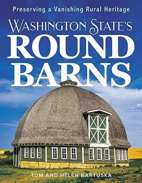
"Enchanted by their beauty, complexity, and historical significance, Tom and Helen Bartuska spent decades researching, visiting, and photographing twenty-one Washington round barns over fifty years old, at least two stories, and over fifty feet in diameter. They share what they learned-who built each structure and when, original and current uses, individual characteristics, construction details, and more. They also discuss the fascinating history, re-use, and creative preservation of round barns and other rural buildings and communities across the United States"-- Provided by publisher pages cm CIRC [ 0 ]
|
2024 |
|
Washington State place names by James Wendell Phillips
|
1971 |
|
Washington State place names from Alki to Yelm by Doug Brokenshire 
Place names are like the historical markers past which we all speed in our cars, too preoccupied to stop and enjoy them. The Strait of Juan de Fuca, Puyallup, Anacortes, Walla Walla these are some of the place names of Washington State. Scratch the surface and spend a little time wondering from whence they came and you will uncover a wealth of lore, legend, and local flavor. 291 pages : illustrations, map ; 25 cm CIRC [ 1 ]
|
1993 |
|
Washington names a pronunciation guide of Washington State place names by Hugh Augustus Rundell (Compiler)
A pronunciation guide to places in the state of Washington, compiled primarily for radio and television broadcasters. [2], 113 pages ; 28 cm ONLINE CIRC [ 1 ]
|
1964 |
|
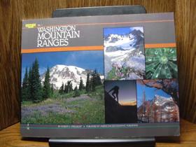
Washington mountain ranges by Robert Steelquist, Pat O'Hara (Illustrator)
|
1986 |
|
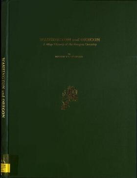
Washington and Oregon a map history of the Oregon country by Martha Berry Parker
|
1988 |
|
Washington a history of the Evergreen State by Mary W. Avery
|
1973 |
|
Washington off the beaten path by Todd Litman, Suzanne Kort
Published as a regional travel guide by Todd Litman and Suzanne Kort, Washington Off the Beaten Path steers travelers away from crowded metropolitan tourist traps and toward the state's hidden roadside gems, quirky local museums, and secluded natural wonders. The book takes readers on a comprehensive journey across Washington's diverse terrain—from the rain-drenched coastal forests of the Olympic Peninsula to the high-desert canyons of the Inland Empire—highlighting lesser-known historical sites and eccentric community landmarks. Through descriptive entries and practical travel tips, the authors champion the curious explorer willing to trade interstate highways for winding rural backroads. A keen insight drawn from the work is how alternative travel guides subvert standard tourism economies; by assigning cultural and recreational value to overlooked rural outposts, the book reframes geographic isolation and quirky local character not as economic liabilities, but as precious antidotes to mass-market commercialization. xii, 180 pages : illustrations, maps ; 21 cm CIRC [ 1 ]
|
1993 |
|
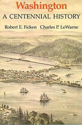
Washington a centennial history by Robert E. Ficken, Charles Pierce LeWarne, Washington Centennial Commission
|
1988 |
|
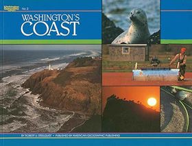
Warship under sail the USS Decatur in the Pacific West by Lorraine McConaghy, Center for the Study of the Pacific Northwest 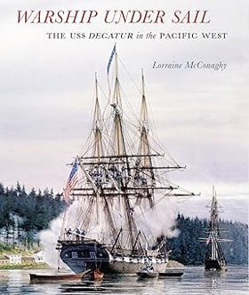
Ordered to join the Pacific Squadron in 1854, the sloop of war Decatur sailed from Norfolk, Virginia, through the Strait of Magellan to Valparaiso, Honolulu, and Puget Sound, then on to San Francisco, Panama, Nicaragua, and Costa Rica, while serving in the Pacific until 1859, the eve of the Civil War. Historian Lorraine McConaghy presents the ship, its officers, and its crew in a vigorous, keenly rendered case study that illuminates the forces shaping America's antebellum navy and foreign policy in the Pacific, from Vancouver Island to Tierra del Fuego. One of only five ships in the squadron, the Decatur participated in numerous imperial adventures in the Far West, enforcing treaties, fighting Indians, suppressing vigilantes, and protecting commerce. With its graceful lines and towering white canvas sails, the ship patrolled the sandy border between ocean and land. Warship under Sail focuses on four episodes in the Decatur's Pacific Squadron mission: the harrowing journey from the Atlantic to the Pacific Ocean through the Strait of Magellan; a Seattle war story that contested American treaties and settlements; participation with other squadron ships on a U.S. State Department mission to Nicaragua; and more than a year spent anchored off Panama as a hospital ship. In a period of five years, more than 300 men lived aboard ship, leaving a rich record of logbooks, medical and punishment records, correspondence, personal journals, and drawings. Lorraine McConaghy has mined these records to offer a compelling social history of a warship under sail. Her research adds immeasurably to our understanding of the lives of ordinary men at sea and American expansionism in the antebellum Pacific West. xi, 381 pages : illustrations, maps ; 27 cm. CIRC [ 0 ]
|
2009 |
|
Warren G. Magnuson and the shaping of twentieth-century America by Shelby Scates 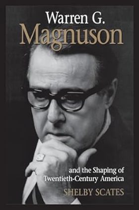
Warren G. Magnuson served as U.S. senator from the state of Washington for six terms. The sheer sweep of his accomplishments is astonishing: authoring the 1964 Civil Rights Act, protecting Puget Sound, saving Boeing for Seattle, championing consumer protection legislation, reorganizing the railroads, and godfathering the electrification of the Pacific Northwest by pressing for Columbia and Snake River dams. He pushed for federal aid to education, kept Pentagon budgets down, and established the National Institutes of Health while arguing throughout the McCarthy era against U.S. isolation from China. He was also a whiskey-and-poker companion to Presidents Roosevelt, Truman, Kennedy, and Johnson ix, 360 pages : illustrations ; 23 cm. CIRC [ 0 ]
|
2015 |
|
Wapato heritage the history of the Chelan and Entiat Indians by Tom Hackenmiller 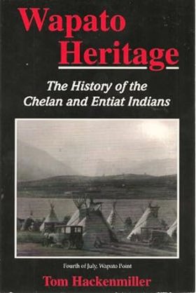
Authored by historian Tom Hackenmiller, Wapato Heritage: The History of the Chelan and Entiat Indians documents the traditional lifeways, displacement, and survival of Indigenous bands native to the dramatic river valleys and lake shores of north-central Washington. The book draws on oral histories, government documents, and ethnographic records to trace how native communities harvested abundant wapato roots and salmon runs before facing rapid encroachment by Euro-American miners, orchardists, and homesteaders. Through these documented accounts, the text chronicles the severe pressures of forced reservation confinement and the systematic erasure of native geography along the Columbia River watershed. A keen insight drawn from the work is how botanical and food-gathering sites served as the true geopolitical anchors of Indigenous sovereignty; by documenting how the loss of specific seasonal root-digging grounds like wapato beds dismantled native self-sufficiency far more effectively than military defeat, the book reveals that colonial land dispossession was fundamentally an assault on a people's nutritional and ecological autonomy. 187 pages : illustrations, maps ; 23 cm CIRC [ 1 ]
|
1995 |
|
Walter Moberly and the Northwest Passage by rail by Daphne Sleigh 
Published in 1996 by Daphne Sleigh, Walter Moberly and the Northwest Passage by Rail chronicles the remarkable life and grueling exploratory expeditions of the 19th-century civil engineer who charted the rugged mountain passes of British Columbia. The book details Moberly's perilous quest to find a viable rail route through the formidable Selkirk and Cascade mountains for the Canadian Pacific Railway, battling harsh winters, treacherous terrain, and scarce supplies. Through archival journals and historical records, the text illustrates the immense physical and political hurdles involved in stitching a nascent Canadian nation together through steel. A keen insight drawn from the work is how transcontinental railway engineering was fundamentally an exercise in imperial imagination; surveyors like Moberly did not merely chart existing wilderness, but actively imposed a geopolitical grid onto an alpine landscape that fiercely resisted human dominion. 272 pages : illustrations, maps ; 22 cm CIRC [ 1 ]
|
2003 |