Pacific County County
The county was formed by the government of Oregon Territory on February 4, 1851 and is named for the Pacific Ocean. The unincorporated community of Oysterville, established in 1852, was the original county seat until the late 19th century when it changed to South Bend. Pacific County is centered on the Willapa Bay, a region that provides twenty-five percent of the United States oyster harvest.
Mapped Location
Pacific County: The mapped location is an approximation and should not be used for navigation or wayfinding.
Information
General information on Pacific County
- Feature Type: County
- County Seat: City of South Bend
- Established: Tuesday, February 4, 1851
Official, historical, colloquial and alternative toponyms for Pacific County
A brief list of names that this geographic feature has been named
| Name | Description |
|---|---|
| Pacific County | Official |
Origin Notes and History of Pacific County
References to Pacific County that document the origin of its place name

PACIFIC COUNTY, named for its ocean boundary. While Washington was still a part of Oregon Territory, this county was created by an act of the legislature dated February 4, 1851.
Related Catalog Titles
A Bibliography for Pacific County, County
Maritime names of Washington by Richard W. Blumenthal
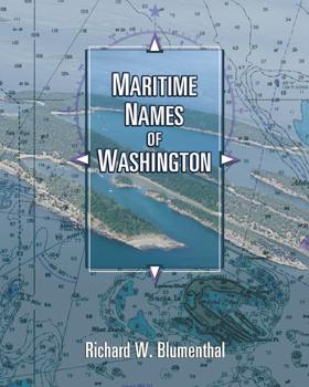
Maritime Names of Washington is a wonderful companion if you are a boating enthusiast or simply curious about Washington’s maritime history. This book is a scholarly study on the origins of place names for our coastal and inland waters. It covers every name that appears on current nautical charts, from the Pacific Coast to the Strait of Juan de Fuca, the San Juans, and Puget Sound from Port Townsend to Olympia. It includes every named island, bay, point, inlet, pass, harbor, rock, channel, strait, canal, peninsula, sound, and shoal. The book also features many local and historical names that are not shown on the charts. The manuscript generally identifies the individual who named the place, when, why, and for whom. It also identifies the chart where the name first appeared and the early settlement history of many places. The manuscript is richly annotated and uses many quotes from the observations of our earliest explorers to give readers a glimpse of what Puget Sound country looked like 200+ years ago. Each of our early explorations is discussed in detail as they relate to individual place names. The book contains 170 pictures and 44 historical nautical charts from 1790 to 1900 that show many of the names
ix, 501 pages : illustrations, maps, charts ; 26 cm
CIRC [ 1 ]
The Columbia River's "Ellis Island" the story of Knappton Cove by Nancy Bell Anderson, Heather Bell Henry
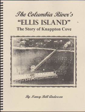
The United States mandated the medical inspection of all arriving immigrants in 1891. The Columbia River Quarantine Station in Knappton Cove, Washington, established 1899, was one of four points of entry on the west coast for immigrants coming to America. Thousands of European and Asian immigrants underwent health inspections at the station
98 pages : illustrations, maps ; 28 cm
CIRC [ 0 ]
The Long Beach Peninsula where the Columbia meets the Pacific by Donella J. Lucero, Nancy L. Hobbs
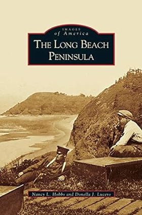
Jutting northward from the mouth of the Columbia River, the Long Beach Peninsula defines Washington's southwestern coastal geography. The picturesque blend of beach and forest along the river, Willapa Bay, and the Pacific Ocean was home to the Chinook Indians who first settled this region. European and American trade came to this area in the 18th century, opening the way for Lewis and Clark to explore and establish a land route to the Pacific. The region prospered because of its diverse natural resources and thriving fur trade. Today, a vibrant tourist industry fuels the Peninsula's continuing development.
159 pages : illustrations, map ; 25 cm.
CIRC [ 1 ]
Postmarked Washington Pacific and Wahkiakum counties by Guy Reed Ramsey, Alan H. Patera
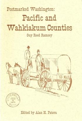
This volume is also a history of postal operations in these 2 counties
148 pages : illustrations ; 22 cm
CIRC [ 1 ]
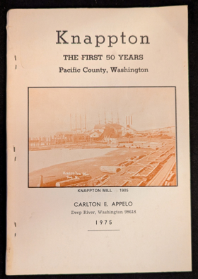
Knappton the first 50 years, Pacific County, Washington by Carlton E. Appelo
Coast country a history of southwest Washington by Lucile Saunders McDonald
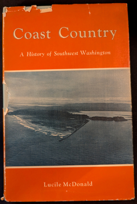
v, 184 pages, 24 unnumbered pages of plates : illustrations, map (on lining paper) ; 23 cm
CIRC [ 1 ]
Our Pacific County by Lewis R. Williams
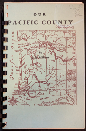
Published in 1930 by local historian Lewis R. Williams, Our Pacific County is a localized civic history detailing the American settlement and economic development of Washington State’s southwestern coast, centered primarily around the resource-rich waters of Willapa Bay (formerly Shoalwater Bay) and the Columbia River estuary. The text chronicles the region's rapid transformation from the domain of early maritime explorers to a bustling hub of pioneer commerce, focusing heavily on the highly lucrative early oyster trade that supplied Gold Rush-era San Francisco, as well as the subsequent rise of massive industrial logging and commercial salmon canning. Compiling local lore, civic milestones, and nostalgic pioneer reminiscences, the book operates as a celebratory tribute to the establishment of frontier towns like Oysterville, South Bend, and Raymond.
A keen insight drawn from the work is how the narrative utilizes the romance of frontier resource extraction to morally launder the dispossession of the region's Indigenous maritime societies. By framing the aggressive, often ecologically devastating harvesting of Willapa Bay's native oysters and old-growth timber purely as a heroic tale of pioneer grit and capitalist enterprise, Williams conceptually redefines a complex, sustainably managed Indigenous homeland—historically governed by the Chinook and Chehalis peoples—into a wild, unclaimed repository of raw capital. This historiographical maneuver structurally sanitizes the colonial project, demanding that the systemic displacement of Native populations and the outright monopolization of their traditional marine resources be remembered not as an act of territorial and economic conquest, but as the spirited, inevitable triumph of American industrial progress.
104 pages : illustrations, map ; 22 cm
CIRC [ 1 ]
Pacific County
- Bay Center
- Bay Center Junction
- Bedford
- Breakers
- Brooklyn
- Bruceport
- Burt
- Chinook
- Davis
- Dexter by the Sea
- East Raymond
- Elk Creek
- Firdale
- Fort Canby
- Frances
- Frankfort
- Globe
- Heather
- Hilda
- Hines
- Holcomb
- Holman
- City of Ilwaco
- Klipsan Beach
- Knappton
- Lebam
- City of Long Beach
- Loomis
- McGowan
- Megler
- Menlo
- Middle Nemah
- Moores Corner
- Nahcotta
- Nallpee
- Naselle
- Nemah
- Nemah Junction
- North Cove
- North Nemah
- Ocean Park
- Oceanside
- Oceanview
- Oysterville
- Pacific City (historical)
- Pluvius
- City of Raymond
- Rhodesia Beach
- Seahaven (historical)
- Seaport (historical)
- Seaview
- City of South Bend
- Stringtown
- Sutico
- Swem
- Tokeland
- Upper Salmon Junction
- Venice
- Willapa
Political Boundaries
Last updated: 2025-09-23