Catalog of British Columbiana and Pacific Northwest Americana
Encyclopedia Cascadia Catalog contains book titles of mostly non-fiction Pacific Northwest Coast of North America Titles (primarially British Columbia, Idaho, Oregon and Washington State) in an easy-to-understand title catalog. If you see a link with this badge ONLINE CIRC it means that there is an online institution that provides free access to that title. In some cases there may be more than one institution hosting the title digitally.
| Catalog Title | Published |
|---|---|
|
The Pacific Northwest past, present, and future by Dale A. Lambert 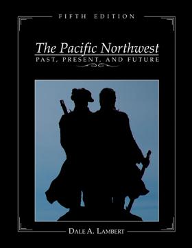
The updated textbook is presented in a regional format, discussing the history of Washington, Oregon and Idaho. The Pacific Northwest: Past, Present and Future, 5th Edition - Textbook, emphasizes the major geologic events, geographic aspects, historical trends, demographic patterns, cultural diversity, governmental organization, socioeconomic development, recreational opportunities, and environmental concerns for the Pacific Northwest region. xii, 499 pages : illustrations (some color), color maps ; 29 cm CIRC [ 1 ]
|
2006 |
An historical guide to the landmarks, events, activities, parks, beaches, plants and wildlife, accommodations, restaurants, shops and services available on Salt Spring Island, British Columbia. This book features charming stories of the early pioneers and offers over 200 photographs, easy-to-read map, where to stay, shop, eat and explore, points of interest, how to get around, list of major island events and activities, as well as where to see plants and wildlife. This book presents Salt Spring Island in a way no other book has. Meet the postman of the 19th century and explore what Salt Spring has to offer today, while taking a trip back in time. 242 pages : illustrations ; 21 cm. CIRC [ 1 ]
|
2006 |
|
The Comox Valley Courtenay, Comox, Cumberland and area by Paula Wild, Rick James, Boomer Jerritt 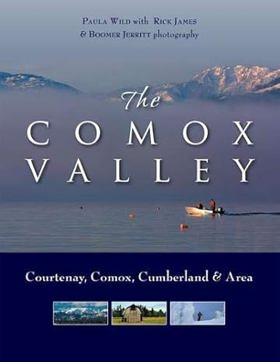
From snowcapped mountains and delicate sub-alpine meadows to sandy beaches and secluded bays, The Comox Valley offers a fascinating look at one of the most popular regions on Vancouver Island--the area that stretches along the east coast of Vancouver Island from Fanny Bay to Black Creek, including the communities of Comox, Courtenay, Cumberland and Merville, as well as Denman and Hornby islands. The Comox Valley is known for its natural beauty, diverse recreational opportunities and as a vibrant centre of the arts. In a blend of stunning colour photographs and lighthearted, informative text, the book explores the mountains, rivers, beaches and sheltered waters of this unique geographic region. Journey to rural farms and lively urban centres, get a behind-the-scenes glimpse of a Canadian air force base and experience the laid back charm of Denman and Hornby islands. Discover a historic mining village, ancient sites of First Nations' battles and the fossilized remains of an 80 million-year-old elasmosaur. Learn why the Comox Valley has such a high concentration of artists and meet some genuine West Coast characters including a legend from the days of old-time logging. 143 pages : illustrations (chiefly color) ; 29 cm CIRC [ 1 ]
|
2006 |
|
Captain Vancouver, North-West navigator by E. C. Coleman 
When Captain Cook set out to seek a western entrance to the fabled North West Passage, his instructions allowed him no more than the briefest contact with the coast of north-west America. Extraordinarily young crews, inexperienced officers and a doctor set on Vancouver's downfall, all combined to test Vancouver's leadership to the limit. 158 pages : illustrations, maps ; 26 cm CIRC [ 1 ]
|
2006 |
|
An historical guide to Pender Islands landmarks, events, activities, parks, beaches, plants & wildlife, accomodations, restaurants, shops & services by V. A. Lindholm 
Published in local editions by V. A. Lindholm, An Historical Guide to Pender Islands Landmarks, Events, Activities, Parks, Beaches, Plants & Wildlife... serves as a comprehensive regional compendium for navigating the natural and human history of the Southern Gulf Islands. The guide meticulously catalogs local heritage sites, indigenous place names, early pioneer settlements, and the diverse marine and terrestrial ecosystems that define the Pender Islands. By weaving practical travel logistics together with deep historical context, the book bridges the gap between a standard visitor directory and an environmental chronicle. A keen insight drawn from the text is how community-compiled island guidebooks often act as quiet acts of ecological and cultural preservation; by meticulously detailing the specific natural habitats and historical idiosyncrasies of a small archipelago, the text implicitly teaches visitors how to respectfully inhabit a fragile insular ecosystem without loving it to death. 111, [26] pages : illustrations ; 21 cm CIRC [ 1 ]
|
2006 |
|
The first nations of British Columbia an anthropological survey by Robert J. Muckle 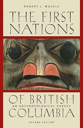
The First Nations of British Columbia, Second Edition, is a concise and accessible overview of First Nations peoples, cultures, and issues in the province. Robert Muckle familiarizes readers with the history, diversity, and complexity of First Nations to provide a context for contemporary concerns and initiatives. This fully revised edition explains the current treaty negotiation process and provides highlights of agreements between First Nations and governments. It also details past and present government policies, identifies the territories of major groups in the province, gives information on populations, reserves, bands, and language groups, and summarizes archaeological, ethnographic, historical, legal, and political issues. IX, 146 Seiten : Illustrationen, Karten CIRC [ 1 ]
|
2006 |
|
De San Blas hasta la Alta California los viajes y diarios de Juan Joseph Pérez Hernández by María Luisa Rodríguez-Sala 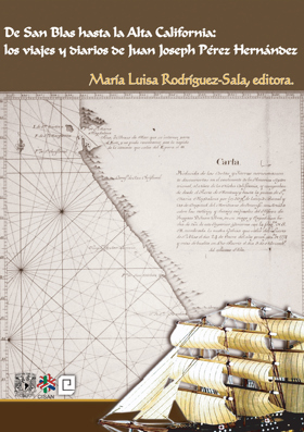
This book deals with the vicissitudes and feats of Juan Joseph Pérez Hernández, a Spanish Royal Navy seaman in charge of the maritime exploration of the northern part of the New World in the last quarter of the eighteenth century. The author explains that the ultimate reason for these travels was to be found in the policy and aspirations of two European empires, the Spanish and the Russian. The Spaniards wanted to consolidate and expand their territories in these northern latitudes in the face of the threat of the penetration through trade and settlement by the nascent Russian empire. | Esta obra narra los avatares y hazañas de Juan Joseph Pérez Hernández, navegante al servicio de la Real Armada española y encargado de la exploración marítima y descubrimiento de las tierras septentrionales del Nuevo Mundo durante el último cuarto del siglo XVIII. El motivo ulterior de dichas travesías, explica la autora, se hallaba en la política y las aspiraciones de dos imperios europeos, el español y el ruso; el primero debía afirmar y expandir sus territorios en aquellas latitudes septentrionales, ante la amenaza de una incursión comercial y poblacional del naciente imperio ruso. 294 pages ; 23 cm CIRC [ 1 ]
|
2006 |
|
River of memory the everlasting Columbia by William D. Layman, Wenatchee Valley Museum and Cultural Center 
The Columbia River of today bears little resemblance to the river Native Americans, First Nations, and settlers knew in the early twentieth century. Engineering has transformed much of the river into a series of large reservoirs contained by fourteen hydroelectric dams. While many grieved the loss of the free-flowing river, others embraced a newly tamed waterway that could control floods, irrigate desert lands, and supply electrical power for the growing region. River of Memory honours a place and time now gone from view. It restores an unfettered Columbia through more than ninety historical photographs that capture the river as it once appeared. This extraordinary visual record is accompanied by the words of early explorers, surveyors, and naturalists who wrote about specific places along the river and by the work of contemporary Canadian and American writers and poets. Organized to carry the reader from the mouth of the Columbia where it enters the ocean to its source in eastern British Columbia, the narrative introduces the natural history of the river through the archetypal journey of salmon returning to the river’s headwaters in Columbia Lake. Introducing each section are colour illustrations of salmon and other indigenous fish by noted artist Joseph Tomelleri. River of Memory fosters connections between the river’s natural and human histories by encouraging readers to linger along the river’s shores and spend time reflecting on its dramatic mountain and plateau landscapes. xv, 150 pages : illustrations (some color), maps (some color) ; 24 x 29 cm CIRC [ 1 ]
|
2006 |
|
Oregon Indians voices from two centuries by Stephen Dow Beckham 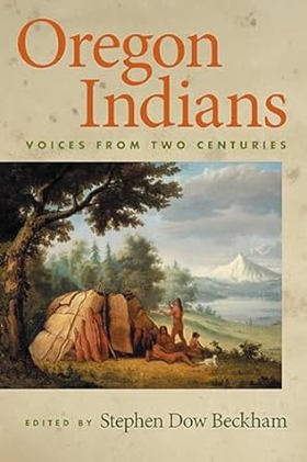
In this deeply researched volume, Stephen Dow Beckham brings together commentary by Native Americans about the events affecting their lives in Oregon. Now available in paperback for the first time, this volume presents first-person accounts of events threatening, changing, and shaping the lives of Oregon Indians, from “first encounters” in the late eighteenth century to modern tribal economies. The book's seven thematic sections are arranged chronologically and prefaced with introductory essays that provide the context of Indian relations with Euro-Americans and tightening federal policy. Each of the nearly seventy documents has a brief introduction that identifies the event and the speakers involved. Most of the book's selections are little known. Few have been previously published, including treaty council minutes, court and congressional testimonies, letters, and passages from travelers’ journals. Oregon Indians opens with the arrival of Euro-Americans and their introduction of new technology, weapons, and diseases. The role of treaties, machinations of the Oregon volunteers, efforts of the US Army to protect the Indians but also subdue and confine them, and the emergence of reservation programs to “civilize” them are recorded in a variety of documents that illuminate nineteenth-century Indian experiences. Twentieth-century documents include Tommy Thompson on the flooding of the Celilo Falls fishing grounds in 1942, as well as Indian voices challenging the "disastrous policy of termination," the state's prohibition on inter-racial marriage, and the final resting ground of Kennewick Man. Selections in the book's final section speak to the changing political atmosphere of the late twentieth century, and suggest that hope, rather than despair, became a possibility for Oregon tribes. xv, 583 pages : illustrations, map ; 25 cm CIRC [ 1 ]
|
2006 |
|
Major Granville Haller dismissed with malice by Guy Breshears 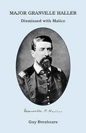
Here is the story of Major Granville Haller, a successful military officer before his sudden and unjust dismissal from the service, and his efforts to restore his name and rank. A native of York, Pennsylvania, Haller fought in the Second Seminole War, the war against Mexico (where he was twice brevetted for bravery), the Indian Wars of the Pacific Northwest, the San Juan Islands boundary dispute and the Civil War. He served on General McClellan's staff and later commanded the volunteers in the defense of York County during the Gettysburg Campaign. On July 29, 1863, Major Haller's twenty-three-year military career came to a halt when he learned that he had been dismissed for disloyal conduct and sentiments. His accuser, Lieutenant Clark Wells, was a naval officer who had spent several months in an insane asylum and had only met Haller during the Fredericksburg campaign. Inquiries to the War Department requesting a copy of his dismissal proceedings were returned unanswered. Unable to obtain a Court of Inquiry, Haller moved to Washington Territory where he spent the next sixteen years trying to restore his name. Haller's struggle is told here through his writings, official reports and court depositions so that all will recognize his contributions to the nation that dismissed him with malice. xi, 159 pages ; 22 cm CIRC [ 1 ]
|
2006 |
|
Moscow by Julie R. Monroe 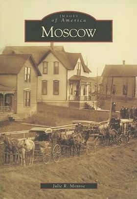
Each spring for centuries, the Nez Perce Indians visited the area they called Taxt-hinma (place of the spotted deer) to harvest the camas root. Today Taxt-hinma is Moscow, Idaho, a forward-looking university community dedicated to preserving the spirit of place that attracted the area's first permanent settlers in 1871. Originally known as Paradise, Moscow started out as a trading center serving homesteaders settling the prodigiously fertile Palouse. Since its incorporation as a city in 1887, Moscow has grown steadily upon a foundation of education and agriculture. From its central core of notable commercial and public buildings to the splendid houses that once sheltered its founders to the scenic University of Idaho campus, Moscow is clearly a community that values its cultural, economic, architectural, and natural heritage 127 pages : chiefly illustrations ; 24 cm. CIRC [ 0 ]
|
2006 |
|
Latah County by Julie R. Monroe 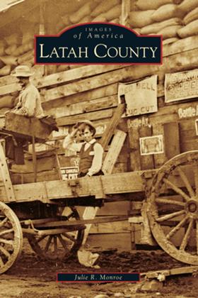
Its name derived from the Nez Perce language, Latah County is the only county in the United States to have been created by an Act of Congress. The abundance of its natural resources—from blue fields of camas to deep veins of gold, from great stands of white pine trees to vast green grasslands—attracted a diversity of dreamers seeking only the opportunity to build their own futures. Nestled in the heart of the Palouse, an agricultural area of extraordinary production, Latah County is a land of timber and, at Potlatch, was once the site of one of the largest sawmills in the world. At Moscow, it is also the home of the state’s land-grant institution, the University of Idaho. From the forests of Troy and the ridges of Juliaetta and Kendrick, from the homesteads of Genesee to Bovill’s hunting lodge and Deary’s town site, Latah County has had a rich and varied history. 127 pages : illustrations, maps ; 24 cm. CIRC [ 0 ]
|
2006 |
|
Wiyáx̣ayx̣t/Wiyáakaảawn = As days go by our history, our land, and our people--the Cayuse, Umatilla, and Walla Walla by Jennifer Karson, Confederated Tribes of the Umatilla Reservation, Oregon, Tamástslikt Cultural Institute 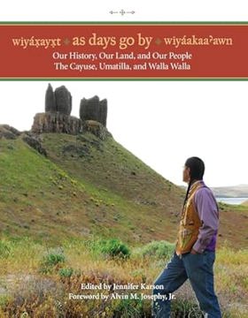
"This book represents a new vista, looking past the days when there were two distinct groups-those who were studied and those who studied them. This history of the Umatilla, Cayuse, and Walla Walla people had its beginnings in October 2000, when elders sat side by side with native students and native and non-native scholars to compare notes on tribal history and culture. Through this collaborative process, tribal members of the Confederated Tribes of the Umatilla Indian Reservation have taken on their own historical retellings, drawing on the scholarship of non-Indians as a useful tool and external resource. Primary to this history are native voices telling their own story. Beginning with ancient teachings and traditions, moving to the period of first contact with Euro-Americans, the Treaty council, war, and the reservation period, and then to today's modern tribal governance and the era of self-determination, the tribal perspective takes center stage. Throughout, readers will see continuity in the culture and in ways of life that have been present from the earliest times, all on the same landscape. Wiyaxayxt (Columbia River Sahaptin) and Wiyaakaa'awn (Nez Perce) can be interpreted to mean "as the days go by," "day by day," or "daily living." They represent the meaning of the English term "history" in two of the common languages still spoken on the Umatilla Indian Reservation."--Amazon.com viewed Mar. 16, 2023 xix, 263 pages : illustrations, maps ; 23 cm CIRC [ 0 ]
|
2006 |
|
Sixty-four years as a writer by Bill Gulick 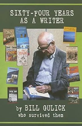
"Bill Gulick's writing career, spanning more than six decades, is truly remarkable. He has written twenty-seven novels, eight nonfiction books and several plays. He was a regular contributor to The Saturday Evening Post and other national magazines. His stories have become major motion pictures starring screen legends like Burt Lancaster, and Jimmy Stewart. A list of his literary friends reads like a whose who of western wrtiting. Gulick is considered one of the foremost authorities on Pacific Northwest history. In Sixty-four Years as a Writer, he details the journey from his Depression era Oklahoma roots to his position as one of the nation's premier western authors."--Publisher's description 344 pages : illustrations ; 23 cm CIRC [ 0 ]
|
2006 |
|
With our good will 30 years of Shakespeare in Idaho by Doug Copsey 
In 1977 a group of talented young artists came together with the hope of establishing a self-sustaining theater group in Boise, Idaho. Three decades later, the Idaho Shakespeare Festival has become a nationally recognized community happening. In this beautifully designed and written book, Doug Copsey, one of the founders, tells the story of how it evolved. 249 pages : illustrations ; 30 x 27 cm CIRC [ 0 ]
|
2006 |
|
Leaving paradise Indigenous Hawaiians in the Pacific Northwest, 1787-1898 by Jean Barman, Bruce McIntyre Watson 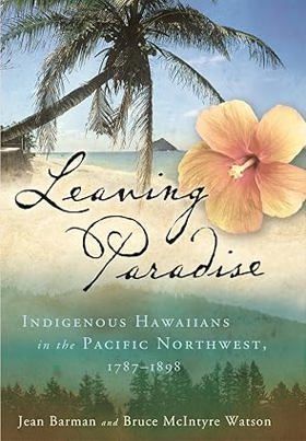
"Native Hawaiians arrived in the Pacific Northwest as early as 1787. Some went out of curiosity; many others were recruited as seamen or as workers in the fur trade. By the end of the nineteenth century more than a thousand men and women had journeyed across the Pacific, but the stories of these extraordinary individuals have gone largely unrecorded in Hawaiian or Western sources. Through archival work in British Columbia, Oregon, California, and Hawaii, Jean Barman and Bruce Watson pieced together what is known about these sailors, laborers, and settlers from 1787 to 1898, the year the Hawaiian Islands were annexed to the United States." "Scholars and others interested in a number of fields - Hawaiian history, Pacific Islander studies, Western U.S. and Western Canadian history, diaspora studies - will find Leaving Paradise an indispensable work."--BOOK JACKET xiii, 512 pages : illustrations, maps ; 24 cm CIRC [ 0 ]
|
2006 |
|
Red light neon a history of Vancouver's sex trade by Daniel Francis 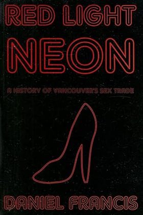
"This book is a history of hypocrisy." So begins Daniel Francis, BC's leading popular historian, as he explores the colourful and ultimately tragic story of prostitution in Vancouver. He writes: "The city's political and social leaders consistently have treated prostitutes as pariahs whose presence was tolerated, sometimes exploited, but never approved. All the while, the authorities collected millions of dollars in fines and licence fees from businesses that everyone knew were, and are, fronts for the sex trade." 192 pages, 8 unnumbered pages of plates : illustrations ; 23 cm CIRC [ 0 ]
|
2006 |
|
City limits walking Portland's boundary by David Oates 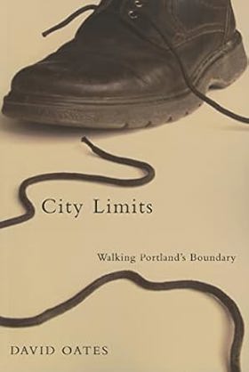
"I walked all the way around Portland, along the invisible line called the Urban Growth Boundary. Where the dotted line followed rivers--the Sandy, the Clackamas, the Willamette, the Columbia--I went in a kayak. But it was mostly just a long walk on city streets and rural two-lanes… I journeyed intermittently for two years and two months." Portland's Urban Growth Boundary (UGB) was designed to hold the bursting metropolitan area in check while protecting Willamette Valley orchards and fields from sprawling suburbia. Since the inception of growth boundaries as a key component of Oregon's progressive land-use system in the 1970s, Portland has evolved into one of the nation's most successful and distinctive cities. David Oates traveled the 260-mile boundary that defines Portland to discover how the UGB has contributed to that success. City Limits is his engaging and thought-provoking record of the journey. From conversations with the people he encounters on his walks, Oates comes to view the UGB as a long-running experiment in community control over development. But in recent years, the growth boundary has come under fire from developers, property rights advocates, and other critics. Just after Oates completed his walks, a statewide vote gutted Oregon's land-use laws. Oates explores these issues of community and conflict on the UGB in the company of various individuals he sometimes invites along for the day's walk--artists, writers, urban planners, environmentalists, developers, a politician, a wine grape grower. Reflecting Oates's belief in the power of community and collaboration, many of their thoughts and writings about the experience are included in the book. 125 pages : map ; 23 cm CIRC [ 0 ]
|
2006 |
|
Renewing Salmon Nation's food traditions a RAFT list of food species and heirloom varieties, with traditions at risk and in need of recovery in the greater Pacific Northwest by Gary Paul Nabhan, Renewing America's Food Traditions (Consortium), Ecotrust 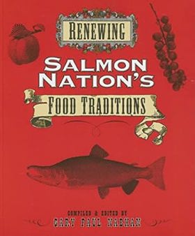
Among all the "food nations" of North America, ranging from Clambake Nation to Chile Pepper Nation, Salmon Nation is the richest in mushrooms, berries, wild roots, fish, and shellfish. Native American traditions are at its core, but other culinary accents — from Spanish to Japanese — have added to the mix. A project of the Renewing America's Food Traditions (RAFT) consortium, this book describes over 180 species of local plants and animals — many now at risk, others recovering, and all deserving of recognition — that have formed the basis of food traditions in the Pacific Northwest. To identify the traditional foods of Salmon Nation, RAFT brought together farmers, chefs, fisherfolk, food historians, orchardists, ethnobotanists, conservation activists, nutrition educators, and wild foragers in an unprecedented effort to assess the current state of foods unique to the Pacific Northwest. The result is, for the first ever, a comprehensive list of the foods that have nurtured the cultures of Salmon Nation over the centuries. Renewing Salmon Nation's Food Traditions encourages readers and eaters to familiarize themselves with the rich histories, ecologies, and recipes of these local foods. This beautifully illustrated handbook describes the appearance and taste of each species, as well as its origin and history, geographic range, and culinary uses. Foods on the list range from domesticated crops such as the Bing cherry, Hood strawberry, and Nez Perce bean to sea foods such as Chinook salmon, candlefish smelt, and geoduck, and wild foods such as Oregon black truffle, wapato, and blackcap raspberry. A resource list at the back of the book identifies nurseries, seed companies, and suppliers working to safeguard and revitalize the heritage foods of Salmon Nation. v, 66 pages : illustrations, color map ; 22 cm CIRC [ 0 ]
|
2006 |
|
The Oregon water handbook a guide to water and water management by Rick Bastasch 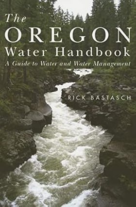
"To make a long story short, Oregon's out of easy water." So begins this timely look at how water is managed in Oregon. Rick Bastasch's in-depth examination of Oregon's water law and water issues provides a compelling perspective on a major environmental issue in the American West - the region's diminishing water supply. Starting with answers to the questions of where Oregon's water comes from and how much there really is, The Oregon Water Handbook explores how these water resources are used and what that has meant for Oregon - its people, environment, and economy. Bastasch offers thorough yet accessible explanations of a variety of water issues and controversies, bringing focus and clarity to a murky, complex subject. The book also features a comprehensive index to Oregon's water laws, a detailed listing of the state's water regulations cross-referenced to appropriate agencies, and a glossary of water terms. The handbook offers a key to understanding how we use this precious and scarce resource. It will be valuable to a range of readers, from Oregonians seeking interesting facts about their state's water riches to water specialists and users in need of a handy reference to Oregon's water law. viii, 352 pages : illustrations, maps ; 23 cm CIRC [ 0 ]
|
2006 |
|
Following the Nez Perce trail a guide to the Nee-Me-Poo National Historic Trail, with eyewitness accounts by Cheryl Wilfong 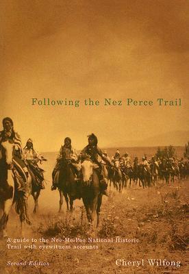
The 1877 flight of the Nez Perce from their homelands while pursued by U.S. soldiers and citizen volunteers is one of the most compelling and sorrowful events in American history. The Nez Perce (Nee-Me-Poo) National Historic Trail traces the route taken by the 800 Nez Perce men, women, and children from May to October 1877. Drawing on eyewitness accounts, this unique book chronicles the heartbreaking retreat of Chief Joseph and his people. It offers an essential guide for anyone who wishes to follow all or part of the Trail. The Nez Perce Trail stretches for 1,500 miles from Wallowa Lake, Oregon, through Idaho and Yellowstone Park, ending at the Bear Paw Battlefield, near Chinook, Montana. This historical guidebook splits the Trail into thirteen segments, each with its own historical chronology and travel plan, with alternative routes for "mainstream," "adventurous," and "intrepid" travelers. Each route includes maps, GPS coordinates, and recommendations for side trips. Period photographs and firsthand accounts from those who first traveled the trail--the Nez Perce, soldiers, settlers--bring history to life. For more than fifteen years, Following the Nez Perce Trail has led travelers and historians as they've retraced the flight of the Nez Perce from their homeland in the Pacific Northwest to their exile in Oklahoma and Canada. This new edition has been updated and expanded by author Cheryl Wilfong, and includes a new emphasis on the experiences of the Nez Perce women and children. Her detailed knowledge of the Nez Perce Trail informs every page of this indispensable guide. xiv, 493 pages : illustrations, maps ; 26 cm CIRC [ 0 ]
|
2006 |
|
Birds of Lane County, Oregon by Alan Contreras 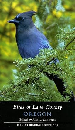
Birds of Lane County is the essential guide for anyone - backyard birder or serious observer - interested in the birds of western Oregon. Lane County's bird life is rich with variety; over three hundred bird species may be found in the county during the year. Within an hour's drive of Eugene, birders may encounter Black Oystercatchers, Pelagic Cormorants, and Snowy Plovers on the coast or Black-backed Woodpeckers, Northern Goshawks, and Mountain Bluebirds in the Cascades. With this comprehensive guide, birders at all levels can enjoy this incredible diversity. In Birds of Lane County, editor Alan Contreras and a team of expert contributors describe the one hundred best birding sites in the county, with detailed information on what may be found, and where and when to seek particular birds. All sites are publicly accessible with clear, easy-to-follow directions and maps, and many of the sites are at least partly wheelchair accessible, provide species accounts with basic information about the status, distribution, abundance, and movements of each species known to have occurred in Lane County. It also offers useful resources for birders including migrant arrival and departure tables, seasonal charts, a gazetteer, contact information for local birding and natural history organizations, and a species checklist. 366 pages : illustrations, maps ; 24 cm CIRC [ 0 ]
|
2006 |
|
National park, city playground Mount Rainier in the twentieth century by Theodore Catton 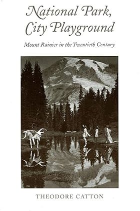
The majestic beauty of Mount Rainier, which dominates the Seattle and Tacoma skyscapes, has in many ways defined the Pacific Northwest. At the same time, those two major cities have strongly influenced the development of Rainier as a national park. From the late 1890s, when the Pacific Forest Reserve became Mount Rainier National Park, the evolving relationship between the mountain and its surrounding residents has told a history of the region itself. That story also describes the changing nature of our national park system. From the late nineteenth century to the present, park service representatives and other officials have created policies, built roads and hotels, and regulated public use of and access to Mount Rainier. Conflicting interests have shaped the decision-making process and characterized human interaction with the park. The Rainier National Park Company promoted Paradise Inn as a destination resort for East Coast tourists; Cooperative Campers of the Pacific Northwest developed backcountry camps for working-class recreationists; Asahel Curtis of the Good Roads Association wanted a road encircling the mountain; The Mountaineers promoted free public campgrounds and a roadless preserve; others focused on managing and protecting the upper mountain. The National Park Service mediated among the various parties while developing their own master plan for the park. In an engaging and accessible style, historian Theodore Catton tells the story of Mount Rainier, examining the controversies and compromises that have shaped one of America's most beautiful and beloved parks. National Park, City Playground reminds us that the way we manage our wilderness areas is a vital concern not only for the National Park Service, but for all citizens. ix, 236 pages, 16 unnumbered pages of plates : illustrations, maps ; 23 cm CIRC [ 0 ]
|
2006 |
|
Saving Puget Sound a conservation strategy for the 21st Century by John Lombard, Washington (State). Department of Ecology 
No other developed area in the world matches the Puget Sound region's combination of beauty, wealth, natural resiliency, and history of environmental concern. Saving Puget Sound develops a practical proposal to conserve the Puget Sound region's most important ecosystems in the face of long-term population growth, drawing lessons that are relevant across the Northwest and in other parts of the country. It provides both a vision for conservation and a detailed review of the political and legal issues that must be at the core of any practical strategy to achieve it. xvii, 336 pages : illustrations (some color), maps (some color) ; 25 cm CIRC [ 0 ]
|
2006 |
|
Historic Friday Harbor on foot. Tour one, Historic downtown by San Juan Historical Society 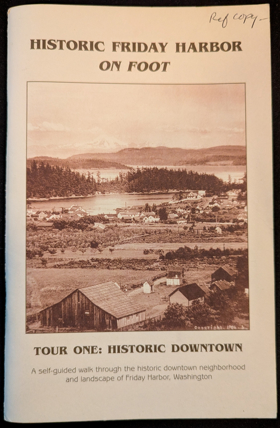
Published by the San Juan Historical Society, Historic Friday Harbor on Foot: Tour One, Historic Downtown serves as an engaging architectural and social walking guide through the core of San Juan Island's primary port town. The booklet outlines a structured route past surviving 19th- and early 20th-century commercial buildings, detailing their original uses as saloons, canneries, and mercantile shops that served the bustling maritime frontier. Through vintage photographs and concise structural histories, the text traces how a modest Coast Salish fishing camp and pioneer trading post evolved into a permanent island hub. A keen insight drawn from the guide is how localized historic walking tours function as physical acts of civic storytelling; by anchoring abstract regional heritage directly to surviving brick-and-mortar storefronts, the narrative transforms everyday streetscapes into tangible archives that invite modern visitors to inhabit the past. 40 unnumbered pages : illustrations, map ; 22 cm CIRC [ 1 ]
|
2006 |