Adams County County
The county was formed out of Whitman County on November 28, 1883 and is named for the second president of the United States, John Adams.
Mapped Location
Adams County: The mapped location is an approximation and should not be used for navigation or wayfinding.
Information
General information on Adams County
- Feature Type: County
- County Seat: City of Ritzville
- Established: Wednesday, November 28, 1883
Official, historical, colloquial and alternative toponyms for Adams County
A brief list of names that this geographic feature has been named
| Name | Description |
|---|---|
| Adams County | Official |
Origin Notes and History of Adams County
References to Adams County that document the origin of its place name

ADAMS County, organized under the law of November 28, 1883, the name being in honor of President John Adams.
Related Catalog Titles
A Bibliography for Adams County, County
CELEBRATING PALOUSE COUNTRY a history of the landscape in text and images by RICHARD SCHEUERMAN
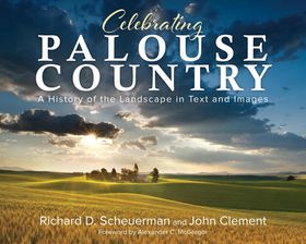
Enhanced with spectacular photographs from John Clement, travel through time among the Palouse Country’s beauty and expanse, starting with its First Peoples, then moving through distinct immigrant groups. Chapters cover events that prompted emigration, describe the settlers’ transitions and living conditions, chronicle significant people and families, discuss major influences that impacted the population, and recount how the communities grew and changed.
CIRC [ 0 ]
Wheat country railroad the Northern Pacific's Spokane & Palouse and competitors by Phil Beach

"A detailed history and reference work concerning railroads south of Spokane, Washington, and north of the Snake River."--Provided by publisher
xviii, 349 pages : illustrations, maps ; 29 cm
CIRC [ 0 ]
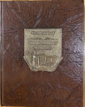
History of Adams County, Washington by Adams County Historical Society (Wash) (Publisher)
An illustrated history of the Big Bend country, embracing Lincoln, Douglas, Adams, and Franklin counties, state of Washington by Richard F. Steele , Arthur P. Rose
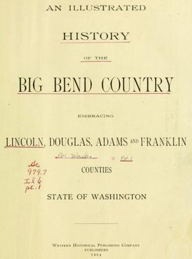
Published in 1904, this comprehensive volume documents the pioneer settlement, agricultural development, and civic formation of the Columbia River's Big Bend region in eastern Washington. A keen insight drawn from the text is how the seemingly barren, arid landscape was rapidly transformed into a highly lucrative wheat-producing powerhouse through the advent of dry farming techniques and the critical expansion of railroad infrastructure. The authors chronicle this dramatic economic and cultural shift across Lincoln, Douglas, Adams, and Franklin counties, detailing their transition from harsh frontier to thriving agricultural communities. Furthermore, the book serves as an invaluable genealogical archive by providing extensive biographical sketches of the resilient early settlers who drove this remarkable regional transformation.
xxiv, 1024 pages : plates, portraits ; 31 cm
ONLINE CIRC [ 2 ]
Related Online Resources
Lind, Washington — Thumbnail History - HistoryLink.org
Lind was first platted in 1890 and the town incorporated on February 4, 1902.
WEB LINK
Adams County
- Ankeny
- Ashby
- Batum
- Beatrice
- Bemis
- Benge
- Bruce
- Carlmar
- Cunningham
- Emden
- Fletcher
- Town of Hatton
- Hillcrest
- Hooper
- Hooper Junction
- Jantz
- Keystone
- Koren
- Lauer
- Town of Lind
- Mack
- Marcellus
- Marengo
- Moody
- Novara
- City of Othello
- Packard
- Paha
- Palm Lake
- Paxton
- Pifer
- Pizarro
- Providence
- Ralston
- Reiman
- City of Ritzville
- Rockwell
- Roxboro
- Schoonover
- Schrag
- Servia
- Shano
- Teske
- Thavis
- Tokio
- Warden Hutterian Brethren
- Town of Washtucna
- Weber
Political Boundaries
Last updated: 2025-09-23