Franklin County County
Franklin County was formed out of Whitman County on November 28, 1883 and is named for Benjamin Franklin.
Mapped Location
Franklin County: The mapped location is an approximation and should not be used for navigation or wayfinding.
Information
General information on Franklin County
- Feature Type: County
- County Seat: City of Pasco
- Established: Wednesday, November 28, 1883
Official, historical, colloquial and alternative toponyms for Franklin County
A brief list of names that this geographic feature has been named
| Name | Description |
|---|---|
| Franklin County | Official |
Origin Notes and History of Franklin County
References to Franklin County that document the origin of its place name

FRANKLIN COUNTY, authorized by the Legislature of Washington Territory on November 28, 1883, and named in honor of Benjamin Franklin.
A Selected Bibliography of Franklin County, County
A compilation of essential readings detailing the history, geography, and culture of the region.
CELEBRATING PALOUSE COUNTRY a history of the landscape in text and images by RICHARD SCHEUERMAN
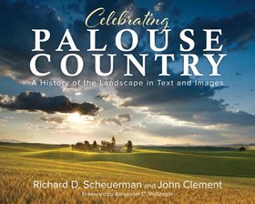
Enhanced with spectacular photographs from John Clement, travel through time among the Palouse Country’s beauty and expanse, starting with its First Peoples, then moving through distinct immigrant groups. Chapters cover events that prompted emigration, describe the settlers’ transitions and living conditions, chronicle significant people and families, discuss major influences that impacted the population, and recount how the communities grew and changed.
Desiderata
Wheat country railroad the Northern Pacific's Spokane & Palouse and competitors by Phil Beach
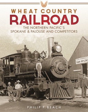
Phil Beach’s Wheat country railroad: the Northern Pacific's Spokane & Palouse and competitors explores the collaborative infrastructure development and profound economic integration of the uniquely fertile Palouse region in the inland Pacific Northwest. The narrative illustrates how the specific environmental realities of this expansive topography—defined by undulating, deep-loess hills, vast dry-land farming expanses, and profound geographic isolation from coastal maritime ports—required immense engineering resilience and shared daily adaptation from early agricultural communities. By detailing the gradual transition from isolated wheat farms relying on arduous overland wagon freight to the thoughtful engineering of complex, interwoven rail networks, the text highlights how the area's prosperity relied on cooperative responses to its immense natural abundance. Ultimately, the account demonstrates that patiently overcoming the logistical challenges of eastern Washington and collaboratively laying the vital steel corridors of the Spokane & Palouse were essential steps in transforming a remote frontier into a deeply rooted, highly connected agrarian heartland.
"A detailed history and reference work concerning railroads south of Spokane, Washington, and north of the Snake River."--Provided by publisher
xviii, 349 pages : illustrations, maps ; 29 cm
Desiderata
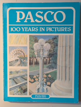
Pasco, 100 years in pictures by Walter Oberst, Ralph Smith
Ainsworth, a railroad town by Bette Eunice Meyer, Barbara Kubik
Railroads, reclamation and the river a history of Pasco by Walter A. Oberst

Railroads, Reclamation, and the River chronicles the transformation of Pasco from a desolate, wind-swept desert outpost into a vital regional hub strategically situated at the confluence of the Columbia, Snake, and Yakima rivers in southeastern Washington. Oberst details how the sprawling, relatively flat topography of this arid inland basin made it a natural geographic juncture for early transcontinental railways, breaking the area's profound isolation by linking the interior shrub-steppe to distant coastal markets. The narrative heavily emphasizes the monumental engineering efforts required to harness the immense volume of these converging waterways, mapping out the large-scale irrigation projects that finally allowed settlers to conquer the severe, dry climate and cultivate the sun-baked soil. Ultimately, the book serves as a localized environmental and industrial history, demonstrating how the precise hydrological positioning of this settlement fundamentally dictated its survival and economic evolution within the harsh extremes of the Pacific Northwest interior.
224 pages : illustrations, maps, portraits ; 23 cm
Non-circulating [ 1 ]
An illustrated history of the Big Bend country, embracing Lincoln, Douglas, Adams, and Franklin counties, state of Washington by Richard F. Steele , Arthur P. Rose
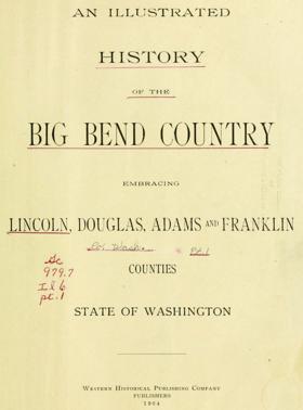
Published in 1904, this comprehensive volume documents the pioneer settlement, agricultural development, and civic formation of the Columbia River's Big Bend region in eastern Washington. A keen insight drawn from the text is how the seemingly barren, arid landscape was rapidly transformed into a highly lucrative wheat-producing powerhouse through the advent of dry farming techniques and the critical expansion of railroad infrastructure. The authors chronicle this dramatic economic and cultural shift across Lincoln, Douglas, Adams, and Franklin counties, detailing their transition from harsh frontier to thriving agricultural communities. Furthermore, the book serves as an invaluable genealogical archive by providing extensive biographical sketches of the resilient early settlers who drove this remarkable regional transformation.
xxiv, 1024 pages : plates, portraits ; 31 cm
ONLINE Circulation [ 2 ]
Franklin County
- Ainsworth Junction
- Basin City
- Cactus
- City of Connell
- Curry
- Davin
- Edwards
- Eltopia
- Estes
- Farrington
- Five Corners
- Glade
- Harder
- Joso
- City of Kahlotus
- Levey
- Martindale
- Mathews Corner
- McAdam
- City of Mesa
- Myers
- City of Pasco
- Pasco West
- Perry
- Redd
- Riverview
- Riverview
- Sagemoor
- Schlomer
- Sperry
- Sulphur
- Wacota
- West Pasco
- Windust
Political Boundaries
Last updated: 2025-09-23