City of Gearhart Clatsop County, Oregon
Mapped Location
City of Gearhart: The mapped location is an approximation and should not be used for navigation or wayfinding.
Information
General information on City of Gearhart
- Feature Type: Incorporated
Official, historical, colloquial and alternative toponyms for City of Gearhart
A brief list of names that this geographic feature has been named
| Name | Description |
|---|---|
| City of Gearhart | Official |
| Gearhart | Official |
A Selected Bibliography of City of Gearhart, Clatsop County, Oregon
A compilation of essential readings detailing the history, geography, and culture of the region.
The man who ate too much the life of James Beard by John Birdsall
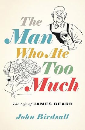
"The definitive biography of America's best-known and least understood food personality, and the modern culinary landscape he shaped. After World War II, a newly affluent United States reached for its own gourmet culture, one at ease with the French international style of Escoffier, but also distinctly American. Enter James Beard, authority on cooking and eating, his larger-than-life presence and collection of whimsical bow ties synonymous with the nation's food for decades, even after his death in 1985. In the first biography of Beard in twenty-five years, acclaimed writer John Birdsall argues that Beard's struggles as a closeted gay man directly influenced his creation of an American cuisine. Starting in the 1920s, Beard escaped loneliness and banishment by traveling abroad to places where people ate for pleasure, not utility, and found acceptance at home by crafting an American ethos of food likewise built on passion and delight. Informed by never-before-tapped correspondence and lush with details of a golden age of home cooking, The Man Who Ate Too Much is a commanding portrait of a towering figure who still represents the best in food"-- Provided by publisher
xiv, 449 pages, 16 unnumbered pages of plates : illustrations ; 25 cm
Desiderata
Clatsop County
- Arch Cape
- City of Astoria
- Biddle (historical)
- Blind Slough (historical)
- Bradwood
- Brownsmead
- Burnside (historical)
- City of Cannon Beach
- Carnahan
- Chadwell (historical)
- Clifton
- Denver (historical)
- Elsie
- Fern Hill
- Flavel (historical)
- City of Gearhart
- Grand Rapids
- Hamlet
- Jeffers Garden
- Jewell
- Knappa
- Lukarilla
- Melville
- Miles Crossing
- Mishawaka
- Navy Heights
- Necanicum (historical)
- Oklahoma Hill
- Olney
- City of Seaside
- Sunset Beach
- Surf Pines
- Svensen
- Svensen Junction
- Taylorville
- Tideport
- Tolovana Park
- Tongue Point Village
- Uniontown
- Vinemaple
- City of Warrenton
- Wauna
- Westport
Political Boundaries
Last updated: 2017-01-17