Bamberton Cowichan Valley Regional District, British Columbia
Locality - A named place or area, generally with a scattered population of 50 or less. SW side of Saanich Inlet, opposite Brentwood Bay, Malahat Land District
Mapped Location
Bamberton: The mapped location is an approximation and should not be used for navigation or wayfinding.
Information
General information on Bamberton
- Feature Type: Place
Official, historical, colloquial and alternative toponyms for Bamberton
A brief list of names that this geographic feature has been named
| Name | Description |
|---|---|
| Bamberton | Official |
Origin Notes and History of Bamberton
References to Bamberton that document the origin of its place name
Bamberton (Settlement) adopted 6 November 1934 on National Defence sheet 415g, Malahat, as labelled on BC map 2A, 1920, and listed in 1930 BC Gazetteer; form of name changed to Bamberton (Locality) 29 November 1984 on 92 B/13.
Bamberton Post Office opened 1 June 1914, situated on Lot 73; closed 30 July 1916.
Named after H.K.G. Bamber, cement manufacturer at Gravesend, England, and original owner of DL 127 Malahat Dist; he became the managing director of British Portland Cement Manufacturers Ltd, located here.
Related Catalog Titles
A Bibliography for Bamberton, Cowichan Valley Regional District, British Columbia
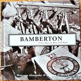
Bamberton from dust to bust and back by Maureen Alexander, Andrew S. Brown
Cowichan Valley Regional District
- Bamberton
- Caycuse
- Chemainus
- Clo-oose
- Cobble Hill
- Cowichan Bay
- Cowichan Station
- Crofton
- Deerholme
- City of Duncan
- Eagle Heights
- Fairbridge
- Genoa Bay
- Gordon River
- Hillcrest
- Honeymoon Bay
- Koksilah
- Town of Ladysmith
- Town of Lake Cowichan
- Malahat
- Maple Bay
- Mesachie Lake
- Mill Bay
- District of North Cowichan
- Paldi
- Sahtlam
- Saltair
- Shawnigan Lake
- Somenos
- Thetis Island
- Tzouhalem
- Westholme
- Whyac
- Youbou
Political Boundaries
Last updated: 2025-09-23