Malahat Cowichan Valley Regional District, British Columbia
Community - An unincorporated populated place, generally with a population of 50 or more, and having a recognized central area that might contain a post office, store and/or community hall, etc, intended for the use of the general public in the region. W side Finlayson Arm opposite Elbow Point, NW of Victoria, Malahat Land District
Mapped Location
Malahat: The mapped location is an approximation and should not be used for navigation or wayfinding.
Information
General information on Malahat
- Feature Type: Place
Official, historical, colloquial and alternative toponyms for Malahat
A brief list of names that this geographic feature has been named
| Name | Description |
|---|---|
| Malahat | Official |
Origin Notes and History of Malahat
References to Malahat that document the origin of its place name
Malahat (Post Office) adopted 16 January 1950 on 92 B/12 at 48 32 - 123 33. Form of name changed to Malahat (community) 31 January 1983 and coordinated adjusted to 48 33 - 123 34.
Scenic View Post Office was opened 16 January 1937, located in Lot 58; renamed Malahat Post Office 2 June 1942, in association with Malahat Ridge. Malahat Post Office relocated southward to Lot 51, 15 February 1965; community remains centred around original post office location.
Malahat means "place of bait." (May 1959 advice from Walter Elliott, Tzuhalem Band, to Provincial Archives); "a bunch of caterpillars" (April 1973 advice from Randy Bouchard, BC Indian Language Project, in turn as told by Chris Paul, Tsartlip Band); Ma'lexel [applying to upland stretching along east side of Saanich Inlet or just to the Mill Bay area?] refers to a caterpillar infestation... (Saltwater People, as told by David Elliott Sr; School District 63, 1983.)
June 3, 2011 is the 100th anniversary of the first car over the Malahat. Link to "www.maureenduffus.com/history/malahat-drive" for the story and photographs of the building of the Malahat Drive.
Related Catalog Titles
A Bibliography for Malahat, Cowichan Valley Regional District, British Columbia
Secret beaches of southern Vancouver Island Qualicum to the Malahat by Theo Dombrowski
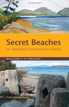
This is your guide to dozens of spectacular and often hidden beaches on the eastern coast of Vancouver Island between Qualicum and the Malahat. While some of them are well used by people living nearby, many are virtually impossible to find without combing through official maps and back-road guides. From tiny rocky coves to broad sandy beaches, these public-access spots are enormously diverse. Just as important as finding these spots is knowing what to expect. Thus each location is accompanied by detailed information that any beach explorer should know before setting out. Is the beach a few level steps from a vehicle or down a high, steep bank? Is the beach suitable for children? Large groups? Kayakers?
255 pages : illustrations (chiefly color), maps ; 22 cm
CIRC [ 0 ]
Cowichan Valley Regional District
- Bamberton
- Caycuse
- Chemainus
- Clo-oose
- Cobble Hill
- Cowichan Bay
- Cowichan Station
- Crofton
- Deerholme
- City of Duncan
- Eagle Heights
- Fairbridge
- Genoa Bay
- Gordon River
- Hillcrest
- Honeymoon Bay
- Koksilah
- Town of Ladysmith
- Town of Lake Cowichan
- Malahat
- Maple Bay
- Mesachie Lake
- Mill Bay
- District of North Cowichan
- Paldi
- Sahtlam
- Saltair
- Shawnigan Lake
- Somenos
- Thetis Island
- Tzouhalem
- Westholme
- Whyac
- Youbou
Political Boundaries
Last updated: 2025-09-23