Cowichan Valley Regional District Regional District
The Cowichan Valley Regional District (CVRD) in British Columbia, Canada, is a region with a rich history dating back to the 18th century. The first people to live in the area were the Coast Salish, who called it 'Sxwáxháýs'. In the early 1800s, the Hudson's Bay Company established a trading post in the area, and the first European settlers began to arrive. The CVRD was officially formed in 1968.
Mapped Location
Cowichan Valley Regional District: The mapped location is an approximation and should not be used for navigation or wayfinding.
Information
General information on Cowichan Valley Regional District
- Feature Type: Regional District
- Regional District Administrative Centre: City of Duncan
- Established: Tuesday, September 26, 1967
Official, historical, colloquial and alternative toponyms for Cowichan Valley Regional District
A brief list of names that this geographic feature has been named
| Name | Description |
|---|---|
| Cowichan Valley Regional District | Official |
Related Catalog Titles
A Bibliography for Cowichan Valley Regional District, Regional District
What was said to me the life of Sti'tum'atul'wut, a Cowichan woman by Ruby Peter , Helene Demers , Royal British Columbia Museum (Issuing body)
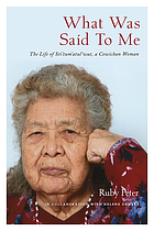
"A narrative of resistance and resilience spanning seven decades in the life of a tireless advocate for Indigenous language preservation. Life histories are a form of contemporary social history and convey important messages about identity, cosmology, social behaviour and one's place in the world. This first-person oral history--the first of its kind ever published by the Royal BC Museum--documents a period of profound social change through the lens of Sti'tum'atul'wut--also known as Mrs. Ruby Peter--a Cowichan elder who made it her life's work to share and safeguard the ancient language of her people: Hul'q'umi'num'. Over seven decades, Sti'tum'atul'wut mentored hundreds of students and teachers and helped thousands of people to develop a basic knowledge of the Hul'q'umi'num' language. She contributed to dictionaries and grammars, and helped assemble a valuable corpus of stories, sound and video files--with more than 10,000 pages of texts from Hul'q'umi'num' speakers--that has been described as "a treasure of linguistic and cultural knowledge." Without her passion, commitment and expertise, this rich legacy of material would not exist for future generations. In 1997 Vancouver Island University anthropologist Helene Demers recorded Sti'tum'atul'wut's life stories over nine sessions. The result is rich with family and cultural history--a compelling narrative of resistance and resilience that promises to help shape progressive social policy for generations to follow."-- Provided by publisher
xviii, 167 pages, 31 pages of plates : illustrations (chiefly color), maps ; 23 cm
CIRC [ 0 ]
Bamberton from dust to bust and back by Maureen Alexander, Andrew S. Brown
Secret beaches of southern Vancouver Island Qualicum to the Malahat by Theo Dombrowski
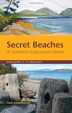
This is your guide to dozens of spectacular and often hidden beaches on the eastern coast of Vancouver Island between Qualicum and the Malahat. While some of them are well used by people living nearby, many are virtually impossible to find without combing through official maps and back-road guides. From tiny rocky coves to broad sandy beaches, these public-access spots are enormously diverse. Just as important as finding these spots is knowing what to expect. Thus each location is accompanied by detailed information that any beach explorer should know before setting out. Is the beach a few level steps from a vehicle or down a high, steep bank? Is the beach suitable for children? Large groups? Kayakers?
255 pages : illustrations (chiefly color), maps ; 22 cm
CIRC [ 0 ]
The Cowichan Duncan, Chemainus, Ladysmith and region : including Cobble Hill, Cowichan Bay, Cowichan Lake and communities, Crofton, Glenora, Maple Bay, Mill Bay and Shawnigan Lake by Georgina Montgomery, Kevin Oke
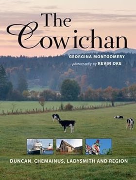
The Cowichan Region is the large area that lies between the cities of Victoria and Nanaimo on Vancouver Island, reaching from the protected eastern shores of the island nearly all the way west to the Pacific Ocean. Its cornucopia-like shape is fitting for a place of such remarkable bounty, and this area is home to a growing number of newcomers seeking its pleasant climate, recreational activities and culinary delights. Sometimes referred to as Canada's Provence, the name Cowichan is derived from a Coast Salish word meaning "warm land" or "basking in the sun."
143 pages : illustrations (chiefly color), maps, portraits ; 29 cm
CIRC [ 1 ]
When coal was king Ladysmith and the coal-mining industry on Vancouver Island by John Roderick Hinde
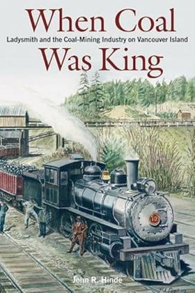
"When Coal Was King illuminates the origins of the 1912-14 strike by examining the development of the coal industry on Vancouver Island, the founding of Ladysmith the experience of work and safety in the mines, the process of political and economic mobilization, and how these factors contributed to the development of identity and community. While the Vancouver Island coal industry and the strike have been the focus of a number of popular histories, this book goes beyond to emphasize the importance of class, ethnicity, gender, and community in creating the conditions for the emergence and mobilization of the working-class population. Informed by current academic debates on the matter and within the discipline, this readable history takes into account extensive archival research, and will appeal to historians and others interested in the history of Vancouver Island."--Jacket
viii, 276 pages : illustrations, maps ; 24 cm
CIRC [ 0 ]
Cowichan Valley Regional District
- Bamberton
- Caycuse
- Chemainus
- Clo-oose
- Cobble Hill
- Cowichan Bay
- Cowichan Station
- Crofton
- Deerholme
- City of Duncan
- Eagle Heights
- Fairbridge
- Genoa Bay
- Gordon River
- Hillcrest
- Honeymoon Bay
- Koksilah
- Town of Ladysmith
- Town of Lake Cowichan
- Malahat
- Maple Bay
- Mesachie Lake
- Mill Bay
- District of North Cowichan
- Paldi
- Sahtlam
- Saltair
- Shawnigan Lake
- Somenos
- Thetis Island
- Tzouhalem
- Westholme
- Whyac
- Youbou
Political Boundaries
Last updated: 2025-09-23