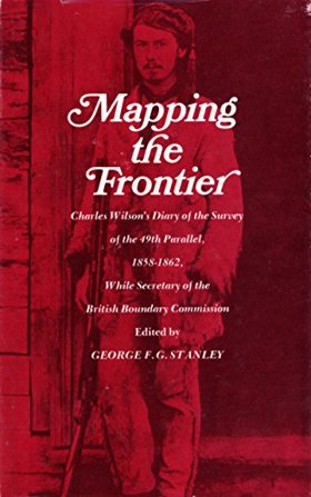
Mapping the frontier Charles Wilson's diary of the survey of the 49th parallel, 1858-1862, while secretary of the British Boundary Commission
|
|
| Author(s): | Charles William Wilson |
| Document: | Book · Hardcover · CIRC [ 1 ] |
| Edition: | 1st Edition |
| Published: | 1970 |
| Physical Description: | 182 pages : maps, portrait ; 22 cm |
| Genre: | Diary |
| Contents: | Preface Introduction Volume One: April 20, 1858-June 11, 1860 Volume Two: June 12, 1860-July 17, 1862. Maps: Oregon boundary dispute, 1825-1846 Region surveyed, 1858-1860 Region surveyed, 1860-1861 |
| Subjects: | British Columbia, British Columbia Description and travel, Canada. [Literature] 1970, Colombie-Britannique Descriptions et voyages, Diaries, Diary, Frontière du Nord-Ouest (États-Unis), Great Britain, Journaux intimes, Nord-Ouest, Côte (Amérique du Nord) Descriptions et voyages, North America Northwest Coast of North America, Northwest Coast of |
| Related Places: | San Juan County |
Circulation
Here are a list of places where this title can be found and the various formats it can be found in.
| Collection | Resource | Available | Edition | Published | Publisher |
|---|---|---|---|---|---|
| The Cascade District: Encyclopedia Library | Book | Hardcover | 1st Edition | 1970 | University of Washington Press, Seattle, 1970 |
Last updated: 2025-09-22