Ferry County County
Ferry County was created out of Stevens County on February 21, 1899 and is named for Elisha P. Ferry, the state's first governor.
Mapped Location
Ferry County: The mapped location is an approximation and should not be used for navigation or wayfinding.
Information
General information on Ferry County
- Feature Type: County
- County Seat: City of Republic
- Established: Tuesday, February 21, 1899
Official, historical, colloquial and alternative toponyms for Ferry County
A brief list of names that this geographic feature has been named
| Name | Description |
|---|---|
| Ferry County | Official |
Origin Notes and History of Ferry County
References to Ferry County that document the origin of its place name

FERRY COUNTY, created by the State Legislature on February 21, 1899. On the motion of Representative C. S. Gleason of King County, the name of the proposed county was changed from "Eureka" to Ferry in honor of Elisha P. Ferry, first governor of the state. (Edmond S. Meany, History of the State of Washington, page 360.)
A Selected Bibliography of Ferry County, County
A compilation of essential readings detailing the history, geography, and culture of the region.
Mapping the frontier Charles Wilson's diary of the survey of the 49th parallel, 1858-1862, while secretary of the British Boundary Commission by Charles William Wilson
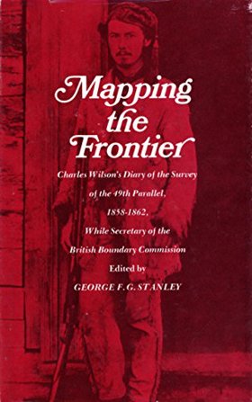
Mapping the frontier Charles Wilson's diary of the survey of the 49th parallel, 1858-1862 examines the grueling imperial cartography and immense logistical struggle situated across the profoundly rugged, trans-mountain macro-geography of the US-British Columbia borderlands. Wilson details how the region's formidable topography—specifically the impenetrable, old-growth temperate rainforests of the coastal slope, the sheer, glaciated alpine barricades of the Cascade and Rocky Mountains, and the deep, turbulent river chasms cutting perpendicular to the border—strictly dictated the margins of early scientific reconnaissance, precarious overland supply chains, and the immense physical labor required to physically mark the wilderness. By mapping the Boundary Commission's arduous effort to impose a rigid, abstract political line across violently fractured terrain—requiring the literal chopping of massive forest swaths, precarious high-altitude ascents, and constant battles with severe winter isolation—the narrative highlights how this specific unforgiving, mountainous geography anchored a profoundly grueling, highly isolated feat of imperial engineering. Ultimately, this diaristic and cartographic record serves as a macro-level spatial history, demonstrating how the immense alpine barricades, severe botanical density, and unrelenting climatic extremes of this Pacific Northwest landscape fundamentally shaped the highly arduous, geographically defiant character of the 49th parallel boundary survey.
182 pages : maps, portrait ; 22 cm
Non-circulating [ 1 ]
An illustrated history of Stevens, Ferry, Okanogan and Chelan counties, state of Washington by Western Historical Publishing Company

Published in 1904 by the Western Historical Publishing Company, this comprehensive volume chronicles the pioneer settlement, civic foundation, and industrial emergence of four rugged counties in northern Washington state. A keen insight drawn from the text is how the sudden, controversial opening of former Native American reservation lands (such as the Colville Reservation) to white prospectors triggered explosive mining booms, acting as the primary catalyst that rapidly transformed this isolated northern frontier into permanent communities. The narrative details the distinct economic drivers across the region, from the rich mineral districts of Ferry and Stevens to the vast cattle ranges and early orchard irrigation projects of Okanogan and Chelan counties. Furthermore, the book preserves the area's pioneer legacy by featuring hundreds of detailed biographical sketches of the resilient prospectors, ranchers, and civic leaders who built these foundational settlements.
xxii, 867 pages, 43 unnumbered leaves of plates : illustrations, portraits ; 31 cm
ONLINE Circulation [ 1 ]
Last updated: 2017-06-30