Jackson County County
Named for President Andrew Jackson, Jackson County was formed in 1852 from Lane County and the unorganized area south of Douglas and Umpqua Counties. It included lands which now lie in Coos, Curry, Josephine, Klamath and Lake Counties. The discovery of gold near Jacksonville in 1852 and completion of a wagon road, which joined the county with California to the south and Douglas County to the north, brought many pioneers
Mapped Location
Jackson County: The mapped location is an approximation and should not be used for navigation or wayfinding.
Information
General information on Jackson County
- Feature Type: County
- County Seat: City of Medford
- Established: Monday, January 12, 1852
Official, historical, colloquial and alternative toponyms for Jackson County
A brief list of names that this geographic feature has been named
| Name | Description |
|---|---|
| Jackson County | Official |
Related Catalog Titles
A Bibliography for Jackson County, County
The state of Jefferson by Bernita Tickner, Gail L. Fiorini-Jenner
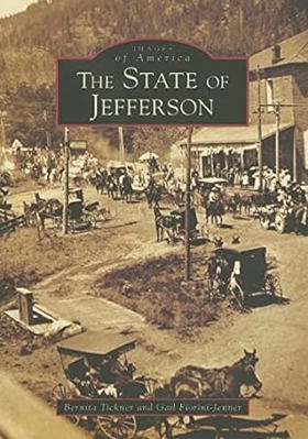
Published in 2017 by Bernita Tickner and Gail L. Fiorini-Jenner, The State of Jefferson explores the colorful, enduring political secession movement aimed at carving a new U.S. state out of the rugged rural counties of Northern California and Southern Oregon. Through a rich collection of vintage photographs and historical anecdotes, the book traces the movement from its 1941 theatrical launch—complete with gold-panning miners brandishing rifles—to its modern manifestations rooted in geographic isolation and anti-establishment sentiment. The text details how residents of this timber-and-mining corridor have long felt economically and politically abandoned by distant state capitals in Sacramento and Salem. A keen insight drawn from the work is how the persistent mythos of the "State of Jefferson" functions less as a viable legislative blueprint and more as a profound psychological safety valve; it provides rural populations with a shared, defiant regional identity that channels deep-seated economic grievances against metropolitan dominance into theatrical civic rebellion.
128 pages : chiefly illustrations, map ; 24 cm.
CIRC [ 1 ]
Ashland, an Oregon oasis an Oregon documentary by Janelle Davidson, Bert Webber
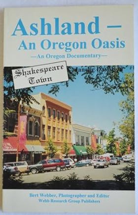
Authored by Janelle Davidson and Bert Webber, Ashland, an Oregon Oasis: An Oregon Documentary chronicles the development of the southern Oregon town from a pioneer milling settlement into a vibrant cultural haven renowned for its natural mineral springs and the Oregon Shakespeare Festival. The book weaves together historical photographs, local archives, and narrative documents to trace how the community leveraged its unique natural geography and artistic ambitions to survive economic shifts. Through these collected records, the text captures the deliberate transformation of a remote Rogue Valley stopover into a thriving destination for travelers and intellectuals alike. A keen insight drawn from the work is how intentional cultural institutions can insulate a regional economy from resource dependency; by pivoting from local timber and agriculture toward world-class theater and holistic tourism, Ashland demonstrated that remote communities can engineer their own prosperity by transforming local geographic assets into an internationally recognized cultural brand.
160 pages : illustrations, maps ; 22 cm
CIRC [ 1 ]
Land in common an illustrated history of Jackson County, Oregon by Joy B. Dunn, Southern Oregon Historical Society
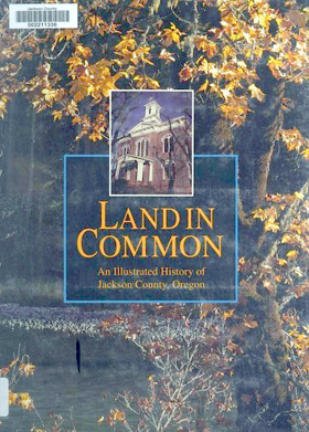
Published by the Southern Oregon Historical Society and authored by Joy B. Dunn, Land in Common: An Illustrated History of Jackson County, Oregon chronicles the complex and vibrant heritage of the Rogue River Valley. The book traces the region's transformation from ancestral indigenous homelands and a turbulent 1850s gold rush frontier into a thriving agricultural and timber-producing community. Through an extensive collection of historical photographs and archival records, the text highlights the diverse waves of settlers, miners, and entrepreneurs who shaped the physical and social landscape of southern Oregon. A keen insight drawn from the work is how the book's title operates as a poignant irony; by documenting how a land once held in common by native nations was rapidly parceled out into private claims, the history reveals that the foundational wealth of the frontier was built entirely upon the systematic legal enclosure of indigenous geography.
xiv, 178 pages : illustrations (some color) ; 29 cm
CIRC [ 1 ]
Railroading in southern Oregon and the founding of Medford by Bert Webber, Margie Webber
Ashland the first 130 years by Marjorie O'Harra
Jackson County
- Applegate
- Asbestos (historical)
- City of Ashland
- Barron (historical)
- Beagle
- Bitter Lick
- Brownsboro
- Buckhorn Springs
- Buncom
- Town of Butte Falls
- Bybee Corner
- Cameron (historical)
- Cascade Gorge
- City of Central Point
- Climax
- Colestin
- Copper
- Dardanelles
- Derby (historical)
- Draper (historical)
- Dudley (historical)
- City of Eagle Point
- Edsalla (historical)
- Etna (historical)
- Foots Creek
- Four Corners
- City of Gold Hill
- City of Jacksonville
- Lake Creek
- Lincoln
- McKee Bridge
- McLeod
- City of Medford
- Mountain View
- Mountain View (historical)
- Perrydale (historical)
- Persist (historical)
- City of Phoenix
- Pinehurst
- Prospect
- Provolt
- Rogue Elk
- City of Rogue River
- Ruch
- Sams Valley
- Seven Oaks
- City of Shady Cove
- Spikenard (historical)
- Starvation Heights
- Steamboat
- Table Rock
- City of Talent
- Tolo
- Trail
- Union Creek
- Wellen (historical)
- White City
- Williams Creek (historical)
- Wimer
Political Boundaries
Last updated: 2013-01-08