Washington County County
The original four counties created by the Provisional Government of Oregon were: Twality, Clackamas, Yamhill and Champoick. Twality was changed to Washington in honor of President George Washington by the Territorial Legislature on September 3, 1849. The actual organization of Washington County government followed several years later.
Mapped Location
Washington County: The mapped location is an approximation and should not be used for navigation or wayfinding.
Information
General information on Washington County
- Feature Type: County
- County Seat: City of Hillsboro
- Established: Wednesday, July 5, 1843
Official, historical, colloquial and alternative toponyms for Washington County
A brief list of names that this geographic feature has been named
| Name | Description |
|---|---|
| Washington County | Official |
Related Catalog Titles
A Bibliography for Washington County, County
This far-off sunset land a pictorial history of Washington County, Oregon by Carolyn M. Buan
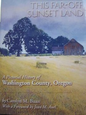
Authored by regional historian Carolyn M. Buan, This Far-Off Sunset Land: A Pictorial History of Washington County, Oregon offers a richly illustrated chronicle of one of the Pacific Northwest’s oldest agricultural and settlement regions west of Portland. The book compiles rare historic photographs, maps, and archival documents to trace the area's evolution from Donation Land Claim homesteads and early pioneer trails into a bustling network of farming communities and suburban outposts. Through its curated visual narrative, the text highlights the enduring legacy of the Tualatin Valley’s farming families, immigrant laborers, and small-town merchants. A keen insight drawn from the work is how pictorial histories of the Willamette Valley reveal the rapid spatial erasure of agrarian landscapes; the stark transition captured across the photo spreads from open orchards and wooden barns to sprawling paved infrastructure underscores how swiftly post-war modernization consumed the physical markers of pioneer settlement.
192 pages : illustrations ; 29 cm
CIRC [ 1 ]
Willamette landings, ghost towns of the river by Howard McKinley Corning, Federal Writers' Project (Or)
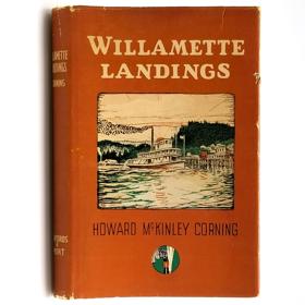
A history of the towns and landings on the Willamette River that were serviced by steamboats prior to the advent of railroads. Includes an index of almost 200 landings, as compiled by Capt. Arthur Riggs in 1940. Howard McKinley Corning (1896-1977) was a poet and historian. During the 1930s he served as an editor and supervisor for the Oregon Writers' Project of the Works Progress Administration, the work for which led to his writing of both this book (1947) and A Dictionary of Oregon History (1956).
vi, 224 pages illustrations 23 cm
CIRC [ 2 ]
Washington County
- Aloha
- Bacona
- Balm Grove
- City of Banks
- City of Beaverton
- Bethany
- Blooming
- Bonita
- Bradley Corner
- Buckheaven
- Buxton
- Cedar Hills
- Cedar Mill
- Centerville (historical)
- Chehalem
- Cherry Grove
- City of Cornelius
- Dilley
- Dixie (historical)
- City of Durham
- Elmonica
- Farmington
- City of Forest Grove
- Gales Creek
- Garden Home
- City of Gaston
- Glencoe
- Glenwood
- Hayward
- Hazeldale
- Helvetia
- City of Hillsboro
- Hillside
- Huber
- Kansas City
- City of King City
- Kinton
- Laurel
- Laurelwood
- Manning
- Marlene Village
- Metzger
- Middleton
- Midway
- Mountaindale
- Mulloy
- City of North Plains
- Norwood
- Oak Hills
- Orenco
- Patton
- Progress
- Raleigh Hills
- Reedville
- Rockcreek
- Scholls
- City of Sherwood
- Somerset West
- Tanasbourne
- City of Tigard
- Timber
- Tobias
- City of Tualatin
- Verboort
- Watts
- West Haven
- West Slope
- West Union
- Westimber (historical)
- Whitford
- Wilkesboro
- Witch Hazel
Political Boundaries
Last updated: 2025-09-23