North Coast Regional District Regional District
The North Coast Regional District (formerly the Skeena-Queen Charlotte Regional District) is one of 27 Regional Districts in British Columbia. It was incorporated on August 17, 1967 as Skeena A, two years after regional districts were created in the province. On March 10, 1973 the name Skeena A was changed to the Skeena-Queen Charlotte Regional District. Today, the North Coast Regional District serves an area of 20,028 square kilometers including Haida Gwaii (formerly the Queen Charlotte Islands) and communities along the North Coast from Port Simpson to Hartley Bay. It is run by a ten-member board representing the Regional District's various communities. Beginning in 2015 the Regional District began a comprehensive rebranding, which included a change in name from the Skeena-Queen Charlotte Regional District to the North Coast Regional District (NCRD) which received approval in the form of letters patent from the B.C. Minister of Community Sport and Cultural Development on September 19, 2016. During the process of choosing an new name extensive consultation was done with local First Nations, residents, levels of government, and other stakeholders.
Mapped Location
North Coast Regional District: The mapped location is an approximation and should not be used for navigation or wayfinding.
Information
General information on North Coast Regional District
- Feature Type: Regional District
- Regional District Administrative Centre: City of Prince Rupert
- Established: Thursday, August 17, 1967
Official, historical, colloquial and alternative toponyms for North Coast Regional District
A brief list of names that this geographic feature has been named
| Name | Description |
|---|---|
| North Coast Regional District | Official |
| Skeena-Queen Charlotte Regional District | Historical |
Related Catalog Titles
A Bibliography for North Coast Regional District, Regional District
The City of Rainbows a colourful history of Prince Rupert by Blair Mirau
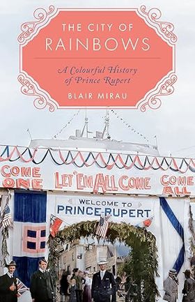
"A vivid and comprehensive history of the City of Prince Rupert, from its ancient roots as a rich, multicultural trading hub between different Indigenous Nations to its current state as an ethnically diverse community set against the stunning natural backdrop of the Great Bear Rainforest. Since time immemorial, rain has defined life on Kaien Island, now known as the townsite of Prince Rupert. As the rainiest and cloudiest city in Canada, Prince Rupert is the perfect environment for rainbows--and the rainbow is an apt metaphor for the city: a symbol of diversity and inclusion, a supernatural gateway between worlds, and a universal sign of hope and calm after a storm. From its original Ts'mysen inhabitants to the first European explorers and fur traders, the building of dozens of salmon canneries to the construction of the transcontinental railway, the global upheaval of two World Wars to decades of industrial boom and bust, Kaien Island, and Prince Rupert, has always been a rich, multicultural trading hub that has weathered countless storms. By weaving together historical events illustrated by compelling archival photographs, The City of Rainbows strives to tell the story of Prince Rupert from a modern perspective, one that confronts the impact of colonization head-on and moves away from a romanticized account of the development of a "pioneer" town. Balancing the histories of Indigenous Peoples, European and Asian settlers, and recent immigrants, this book reveals powerful, intriguing, uncomfortable, and beautiful truths about an undoubtedly colourful city."-- Provided by publisher
vi, 251 pages, 14 unnumbered pages of plates : illustrations, map ; 22 cm
CIRC [ 0 ]
Haida Gwaii journeys through the Queen Charlotte Islands by Ian Gill, David Nunuk
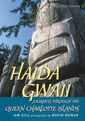
Native artist Bill Reid once called Haida Gwaii, home to the Haida people, the "Shining Islands." This revised edition in Raincoast's popular Journeys series shows why. Known also as "Canada’s Galápagos," these islands are a natural marvel, featuring awesome vistas and a rich ecosystem. The islands also offer more than 400 cultural sites, including the UNESCO World Heritage village of Ninstints. Ian Gill's lively text and David Nunuk's dramatic photographs celebrate this unique, still relatively unspoiled place.
vii, 149 pages : illustrations (chiefly color), map ; 26 cm
CIRC [ 1 ]
Just east of sundown the Queen Charlotte Islands by Charles Lillard
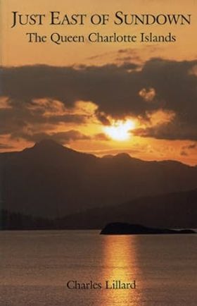
"The Queen Charlotte Islands have always been a half-legendary land of mists and mystery, set off and seemingly different from the rest of the coast. Human occuption goes back some 9,000 years, with intriguing hints of a people there before the Haida. Although the islands were "discovered" by Juan Perez, a Spaniard, in 1774, records indicate that voyagers from Asia had arrived much earlier. This is a story of people - Edenshaw, Weah, Davidson, Dawson, Collison and others - from Haida chiefs and carvers to European explorers and settlers
xii, 180 pages : illustrations, map ; 22 cm
CIRC [ 1 ]
Haida monumental art villages of the Queen Charlotte Islands by George F. MacDonald, Richard J. Huyda
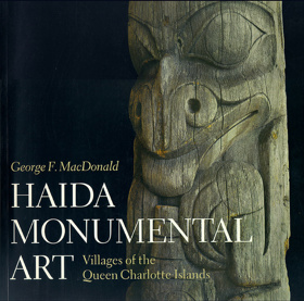
"The Haida of the Queen Charlotte Islands in British Columbia constructed some of the most magnificent houses and erected some of the most beautifully carved totem poles on the Northwest Coast. During the last quarter of the nineteenth century, images of the Haida's immense cedar houses and soaring totem poles were captured, first on glass plates and later on film, by photographers who travelled to then-remote villages such as Masset and Skidegate to marvel at, and record, what they saw there." "Haida Monumental Art ... includes a large number of these remarkable photographs, selected from a collection of over 10,000 original prints and photographic plates. They depict the Haida villages at the height of their glory and record their tragic deterioration only a few decades later. ... By combining archaeology and ethnohistory, George MacDonald presents an integrated framework for understanding the physical structure of a Haida village. He explains how the houses and poles are part of a fascinating web of myth, family history, and Haida cosmology, which provides a unique insight into Haida culture."--Back cover
218 pages : illustrations (some color), maps ; 31 cm
CIRC [ 0 ]
North Coast odyssey the Inside Passage from Port Hardy to Prince Rupert by Kenneth Campbell
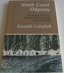
Published by Kenneth Campbell, North Coast Odyssey: The Inside Passage from Port Hardy to Prince Rupert captures the dramatic geography and rich maritime heritage of British Columbia's isolated northern marine highway. The book chronicles a coastal voyage through labyrinthine fjords, treacherous narrows, and wind-swept archipelagos, blending nautical adventure with local history, Indigenous lore, and observations of the region's abundant marine wildlife. Through vivid descriptive prose, the author details the weathered cannery towns, lighthouses, and remote settlements that cling to a magnificent yet unforgiving coastline. A keen insight drawn from the work is how the Inside Passage functions as a liquid highway that simultaneously isolates and connects; by relying entirely on maritime transit through a maze of stone and water, coastal inhabitants experience a profound sense of remoteness that can only be bridged by a deep, respectful attunement to the fickle rhythms of the Pacific tides.
202 pages : illustrations, maps, portrait ; 23 cm
CIRC [ 1 ]
Ninstints, Haida world heritage site by George F. MacDonald
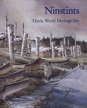
Ninstints, located on Anthony Island, one of the smallest and most southerly of the Queen Charlotte chain, contains the vestiges of the great wooden structures and houses of the Kunghit Haida people who abandoned the village in the late 1800s. George MacDonald combines archival material and scientific and photographic evidence to record what is known of the history of Ninstints and its people. Details are given of their houses, of their great chiefs, and finally of their exodus from Ninstints.
60 pages : illustrations (some color) ; 26 cm
CIRC [ 0 ]
The Ghostland people a documentary history of the Queen Charlotte Islands, 1859-1906 by Charles Lillard
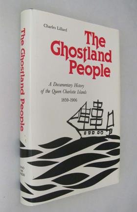
The Ghostland People was the name given by the Haida to the early white settlers. This book is a gathering of firsthand accounts of exploration and discovery in the Queen Charlotte Islands during the little-known period bordered on one side by the maritime fur traders, and on the other by the farmers and the fishermen, and the loggers and the miners. William Downie visited the islands in 1859 and filed his report with Governor James Douglas. Robert Brown made his way there aboard the Goldstream in 1866, and Judge James G. Swan made his first trip to the Charlottes in 1883/and left a fascinating yet forgotten account. In 1878 George Dawson, the “little giant,” wrote his classic study (here reproduced for the first time in 110 years) of the Islands and the Haida. Lord Dufferin and his wife, the Marchioness of Dufferin and Ava, toured the Queen Charlottes in 1876 and both left detailed accounts. So did Charles Horetzky, who was there two years earlier. The next visitor to leave important views of the Islands was George A. Dorsey, who, with James Deans, cruised the area in 1898 on the behalf of the Field Museum in Chicago. Just after the turn of the century, Charles Seldon, a professional hunter from the United States, visited the Islands to observe the long-fabled Queen Charlotte Island caribou. This is the fourth volume in the West Coast Heritage Series. In it, editor Charles Lillard has also provided the first detailed chronology of Island history, the first major bibliography, and chapters on the Islands’ mystique and prehistory. As was the case with the previous books, Lillard gathers together material which has not been accessible to the general reader for over eighty years.
318 pages : illustrations, maps ; 24 cm
CIRC [ 0 ]
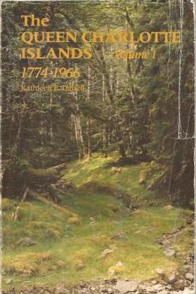
The Queen Charlotte Islands volume 1 ; 1774-1966 by Kathleen E. Dalzell
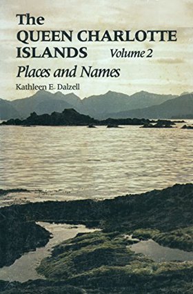
The Queen Charlotte Islands volume 2 ; places and names by Kathleen E. Dalzell
Memories of the Skeena by Walter Wicks

Prince Rupert, a gateway to Alaska by R. Geddes Large
Related Online Resources
North Pacific Cannery National Historical Site
In Port Edward, The Cannery Life Tour explores the unique experiences of workers of First Nations, Japanese, Chinese, and European descent, discussing the types of work, the living conditions, and the family and cultural connections that were fostered on remote cannery villages such as this. This tour also includes the site’s two semi-restricted buildings, the First Nations Net Loft and Company Store.
WEB LINK
North Coast Regional District
- Alliford Bay
- Chaatl
- Cumshewa
- Dadens
- Delkatla
- Digby Island
- Dodge Cove
- Georgetown Mills
- Haina
- Hartley Bay
- Hippa
- Hunts Inlet
- Jedway
- Juskatla
- Kaisun
- Kitkatla
- Kiusta
- Kung
- Lawnhill
- Lax Kw'alaams
- Lockeport
- Village of Masset
- Masset
- Metlakatla
- Moresby Camp
- New Clew
- Ninstints
- Old Massett
- Oona River
- Osland
- Porcher Island
- Village of Port Clements
- District of Port Edward
- Port Essington
- City of Prince Rupert
- Queen Charlotte
- Village of Queen Charlotte
- Rose Harbour
- Sandspit
- Sewall
- Sewell Inlet
- Shannon Bay
- Skedans
- Skidegate
- Skidegate Landing
- Tanu
- Tasu
- Thurston Harbour
- Tlell
- Yaku
Political Boundaries
Last updated: 2025-09-23