Catalog of British Columbiana and Pacific Northwest Americana
Encyclopedia Cascadia Catalog contains book titles of mostly non-fiction Pacific Northwest Coast of North America Titles (primarially British Columbia, Idaho, Oregon and Washington State) in an easy-to-understand title catalog. If you see a link with this badge ONLINE CIRC it means that there is an online institution that provides free access to that title. In some cases there may be more than one institution hosting the title digitally.
| Catalog Title | Published |
|---|---|
|
Ferries of Puget Sound by Steven J. Pickens 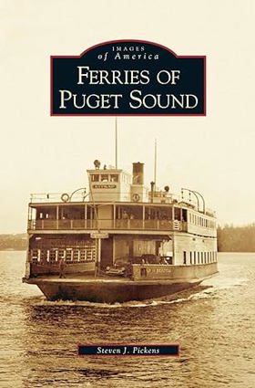
This pictorial retrospective presents more than 200 images from the author's personal collection of vintage photographs, postcards, and other visual memorabilia to trace the unique story of the floating highways and gentle maritime giants of Puget Sound 128 pages : chiefly illustrations, map ; 24 cm. CIRC [ 1 ]
|
2005 |
|
People of the river native arts of the Oregon territory by Bill Mercer, Portland Art Museum 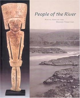
"People of the River: Native Arts of the Oregon Territory is the first major publication to focus exclusively on the rich artistic traditions of the Native Americans who traditionally lived along the lower Columbia River from the mouth of the Snake River to the Pacific Ocean. In this illustrated catalogue, author Bill Mercer describes the Columbia River art style as an Indigenous development that emerged over the course of countless generations and whose forms reveal unique combination of designs, motifs, materials, and techniques. Included are more than two hundred objects organized into sections that focus on sculptural forms, basketry, and beadwork spanning the pre-contact era to the middle of the twentieth century. People of the River features many objects that have never before been published and provides been insight into a previously unrecognized area of Native American art. With insightful texts, lavish reproductions, and an extensive bibliography, People of the River promises to be a key resource on this compelling body of work for years to come."--Jacket 191 pages : color illustrations ; 32 cm CIRC [ 1 ]
|
2005 |
|
A concise dictionary of the Nuuchahnulth language of Vancouver Island by John T. Stonham 
For some 20 years, Stonham (linguistics, U. of Newcastle-upon-Tyne) has been researching the language of the Nuuchahnulth, a group of First Nations peoples occupying the west coast of Vancouver Island. His dictionary is the first attempt to provide a detailed account of the lexicon of the Nuuchahnulth language, complete with examples and grammatical information. The work is based primarily on fieldnotes gathered by Edward Sapir between 1910 and 1922, fieldnotes by Morris Swadesh in the 1940s, and Stonham's own field research since the 1980s. The volume includes a Nuuchahnulth-English dictionary with some 7,000 main entries, an English-Nuuchahnulth glossary of some 8,500 entries consisting of English headwords and their Nuuchahnulth equivalents, and appendices of grammatical paradigms and place names. Annotation : 2004 Book News, Inc., Portland, OR (booknews.com) xviii, 537 pages ; 24 cm CIRC [ 1 ]
|
2005 |
|
Blakely Island in time by JoAnn Roe 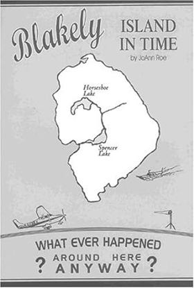
Blakely Island is typical of many other islands in the San Juans and adjacent Gulf Islands of Canada. What is fascinating is that pioneers found them in their isolated maritime settings, made homes and schools, and developed a living for families. In the late 20th century, several of the islands such as Blakely have become sites for vacation homes, as well. The author tells a lively tale of the people, both pioneers and modern dwellers, who have dealt with the problems inherent in island life, especialy an island accessed only by air or sea. Read about the Spencer Mill, winter storms, humorous interactions with animals, pranks, early air services, and environmental and political issues--P. [4] of cover v, 151 pages : illustrations ; 23 cm CIRC [ 1 ]
|
2005 |
|
A journey with E.J. Hughes one collector's odyssey by Jacques Barbeau, E. J. Hughes, Ian M. Thom 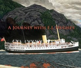
From the moment Jacques Barbeau fell in love with his first E.J. Hughes painting in 1958, he never waivered in his certainty that Hughes would one day become an iconic figure on the Canadian art scene. Barbeau's voice, however, was in the minority and for many years he was one of only a handful of adventuresome collectors who sought out the artist's works. Eventually, the marketplace validated Barbeau's opinion and when Fishboats, Rivers Inlet (1946, oil on canvas) sold at auction for $920,000 in 2004, it served to solidify Hughes' place amongst the great artists of his time. Through the centuries, the passionate collector has always been central to the emergence of important artists. A Journey with E.J. Hughes provides an insightful look into the world of the collector, the artist and where their realms intersect. This very human story of art as master sheds important new light on Hughes and his work. Publisher's note xi, 180 pages : illustrations (some color) ; 24 x 28 cm CIRC [ 1 ]
|
2005 |
|
Pioneers of the Stillaguamish by Dennis Conroy, Carol Husby Ronken 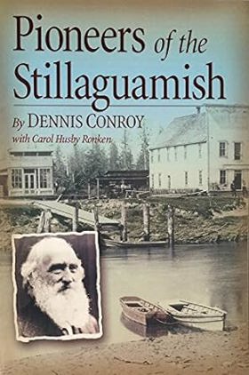
Published by local historians Dennis Conroy and Carol Husby Ronken, Pioneers of the Stillaguamish compiles extensive genealogical records, historical photographs, and pioneer recollections to chronicle the early European-American settlement of the Stillaguamish River valley in Washington. The book details the arduous process of clearing dense old-growth timber, establishing homesteads, and building rudimentary roads and schools along the unpredictable river corridor during the late 19th and early 20th centuries. By centering the struggles and daily lives of ordinary families, the text preserves the foundational social fabric of communities like Arlington and Stanwood. A keen insight drawn from the work is how local pioneer histories capture the immense cognitive dissonance of frontier expansion; by meticulously detailing the relentless destruction of ancient forests to plant farms, the text unwittingly reveals how the triumph of civilization for homesteaders was simultaneously an act of catastrophic ecological erasure for the valley's original inhabitants viii, 149 pages : illustrations, maps ; 23 cm CIRC [ 1 ]
|
2005 |
|
A view of the Methow from Moccasin Lake Ranch by James C. Pigott 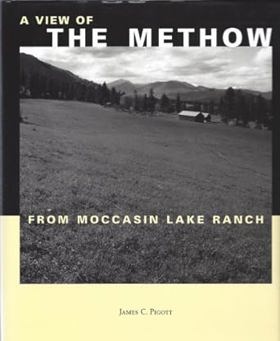
Published in local editions, James C. Pigott’s A View of the Methow from Moccasin Lake Ranch offers an evocative reflection on the landscape, history, and stewardship of Washington’s rugged Methow Valley. The book weaves personal memoir with regional lore, capturing the distinct seasonal rhythms of high-desert ranching, wildlife conservation, and the quiet isolation of the north-central Cascades. Through detailed observations of the local terrain and watershed, Pigott chronicles the delicate balance required to live harmoniously within a stunning yet demanding environment. A keen insight drawn from the text is how multi-generational ranching memoirs serve as intimate ecological barometers; by documenting decades of subtle shifts in local water availability and wildlife patterns, the author reveals that true land stewardship requires a profound, lived surrender to the cyclical limits of the natural world rather than attempts to conquer it. 167 pages : color illustrations, maps ; 25 cm CIRC [ 1 ]
|
2005 |
|
British Columbia land of promises by Patricia Roy, John Herd Thompson 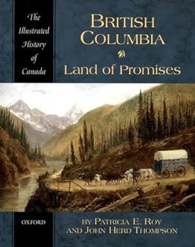
"For more than two centuries, people from around the world have been irresistibly drawn to British Columbia. Some have sought to make their fortunes in furs, or gold, or lumber, some have dreamt of establishing utopian communities, many others have hoped simply to find a steady job, or a piece of land to farm and raise a family on. At times BC has lived up to the most extravagant expectations. But at times it has not, and in either case the costs have often been high, especially for the region's First Nations. In British Columbia: Land of Promises Patricia E. Roy and John Herd Thompson trace the social, economic, and political history of the province through a lively narrative and a wealth of carefully annotated illustrations, including maps, paintings, photographs, and cartoons."--Jacket 216 pages, 10 unnumbered pages of plates : illustrations (some color), maps (some color), portraits (some color) ; 24 cm CIRC [ 1 ]
|
2005 |
|
A song of Yamhill and Oregon's northwestern Willamette Valley by Gordon N. Zimmerman 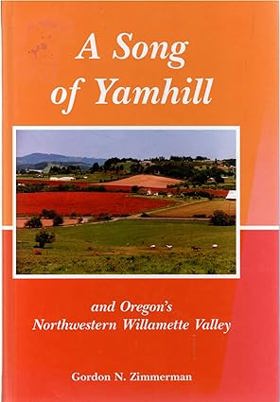
Published by Gordon N. Zimmerman, A Song of Yamhill and Oregon's Northwestern Willamette Valley weaves local history, personal reminiscences, and genealogical lore to celebrate the enduring rural heritage of the upper Willamette Valley. The book details the arrival of early Euro-American pioneers who navigated the Oregon Trail to settle the fertile, rolling hills of Yamhill County, establishing agrarian communities amidst rich timberlands and river valleys. Through vivid narrative vignettes, the text captures the seasonal rhythms of farming, local institution-building, and the close-knit social fabric of a foundational Oregon agricultural hub. A keen insight drawn from the text is how regional local histories act as counter-narratives to rapid urban sprawl; by meticulously preserving the human-scale stories of families tied to the land, the work anchors modern landscape identity in deep-rooted community stewardship rather than commercial development. xviii, 207 pages : illustrations, portraits ; 23 cm CIRC [ 1 ]
|
2005 |
|
The Nehalem River valley settling the big timberland by Stella Bellingham Satern 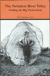
Stories about the pioneers who settled the Oregon wilderness of the Nehalem River valley, from the 1860s through the twentieth century 488 pages : illustrations ; 23 cm CIRC [ 1 ]
|
2005 |
|
Lewis and Clark down and up the Columbia River a unique fold-out guide, mapping day-by-day Lewis and Clark's journey from the Rocky Mountains to the Pacific Ocean-- and back by Rex Ziak (Cartographer) 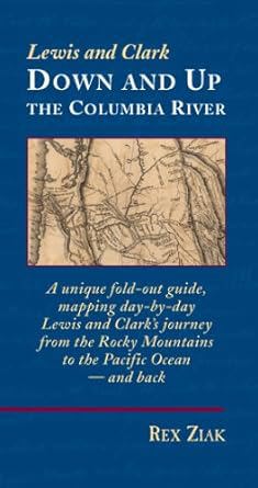
Published in 2005 by cartographer and historian Rex Ziak, Lewis and Clark Down and Up the Columbia River is an innovative, double-sided fold-out guide that meticulously maps the Corps of Discovery's day-by-day journey from the Rocky Mountains to the Pacific Ocean and back. The unique format functions as both a portable pocket book and a sprawling seven-foot map, charting every single campsite and chronicling the dual phases of the voyage using precise historical journal excerpts. By allowing readers to trace the westbound expedition on one side and flip it to follow the eastbound return, the guide transforms historical cartography into an interactive landscape experience. A keen insight drawn from the work is how spatial format alters historical comprehension; by physically separating the outward struggle against the current from the swift return journey on a continuous timeline, the map highlights the profound geographical and psychological shifts the explorers experienced upon reaching the tidal mouth of the Columbia 1 volume (folded map) : color maps ; 19 cm CIRC [ 1 ]
|
2005 |
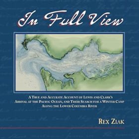
This book explains the missing month of Lewis and Clark history that occurred when they reached the Pacific Ocean and has completely redefined the expedition's history. Ziak's research - detailed in this book - resulted in the creation of United States newest national park -the Lewis and Clark National Park located in Oregon and Washington states. xviii, 219 pages : color illustrations, color maps ; 26 cm CIRC [ 1 ]
|
2005 |
|
The mapmaker's eye David Thompson on the Columbia Plateau by Jack Nisbet 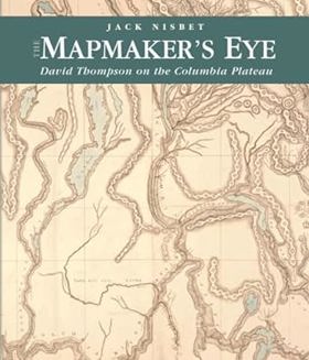
"David Thompson is a hero in Canada, yet has remained largely unknown in the United States. Between 1801 and 1812, this fur trader, explorer, and cartographer established two viable trade routes across the Rocky Mountains in Canada and systematically surveyed the entire 1,250-mile course of the Columbia River. In succeeding years he distilled his mathematical notations from dozens of journal notebooks into the first accurate maps of the northwest quadrant of North America. Information from some of his earlier mapwork was even used by the Lewis and Clark Expedition." xii, 180 pages : illustrations (some color), facsimiles, maps (some color), portraits ; 27 cm CIRC [ 1 ]
|
2005 |
|
Tenino, Washington the decades of boom & bust by Scott McArthur 
Published in local editions by Scott McArthur, Tenino, Washington: The Decades of Boom & Bust chronicles the colorful economic highs and lows of a historic south Sound community shaped by sandstone quarrying, timber, and coal mining. The book details the town's late 19th-century industrial peak, its struggles through the Great Depression, and its famous emergency response of printing wooden money during the banking crisis of 1933. Through archival photographs and engaging local history, the text captures the gritty resilience of a working-class town repeatedly forced to reinvent itself as its primary resource industries faded. A keen insight drawn from the work is how severe economic isolation can spark profound civic innovation; by turning local wood veneer into legal tender, Tenino transformed a debilitating banking failure into an ingenious piece of public theater and enduring numismatic history. 143 pages : illustrations ; 22 cm CIRC [ 1 ]
|
2005 |
|
Pioneer Square Seattle's oldest neighborhood by Mildred Tanner Andrews , Leonard Garfield (Writer of introduction), Karin Murr Link (Contributor), Marc K. Blackburn (Contributor), Dana Cox (Contributor) 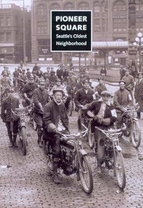
Presents the history of Pioneer Square, weaving together first-person accounts, photographs, and varied cultural perspectives to shed light on the birthplace of modern Seattle. This book reveals that Pioneer Square has always been a barometer of Seattle's health and an incubator for trends that characterize the city today. xvi, 235 pages : illustrations, maps ; 26 cm CIRC [ 1 ]
|
2005 |
|
Moving Washington timeline the first century of the Washington State Department of Transportation, 1905-2005 by Walt Crowley, Kit Oldham , HistoryLink (Firm) (Publisher), Washington (State). Department of Transportation 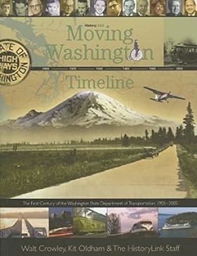
"This book retraces how the leaders and employees of the Washington State Department of Transportation and their predecessors helped to shape Washington's transportation system during a century of technological revolution and dramatic transformation of its communities and landscapes." "Moving Washington Timeline was prepared for the Washington State Department of Transportation with the support of private donors and a Federal Highway Administration grant to commemorate the creation of the 127, [1] pages : illustrations (some color), maps (some color), portraits (some color) ; 22 cm CIRC [ 1 ]
|
2005 |
|
Eastern Oregon books and print. Volume II an annotated and historical bibliography (with some emphasis on maps) by Wayne Kee 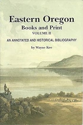
Published in local editions by bibliographer Wayne Kee, Eastern Oregon Books and Print, Volume II serves as an annotated historical bibliography and cartographic guide dedicated to the literary and geographic records of the state's vast interior. The volume catalogs rare books, manuscripts, regional pamphlets, and historical maps, providing concise publication histories and contextual notes for collectors and researchers alike. By capturing the paper trail of eastern Oregon's settlement, resource extraction, and exploration, the text preserves the foundational documentation of a sparsely populated landscape. A keen insight drawn from the work is how comprehensive regional bibliographies reveal the ideological biases of early print culture; by highlighting which frontier narratives were preserved in print and which were omitted, the bibliography exposes how historical archives actively constructed a romanticized mythos of the high desert while erasing marginalized voices. xi, 206 pages : illustrations, facsimiles, maps ; 23 cm CIRC [ 1 ]
|
2005 |
|
The world of the Kalapuya a native people of western Oregon by Judy Rycraft Juntunen, May D. Dasch, Ann Bennett Rogers, Benton County Historical Society and Museum (Or) 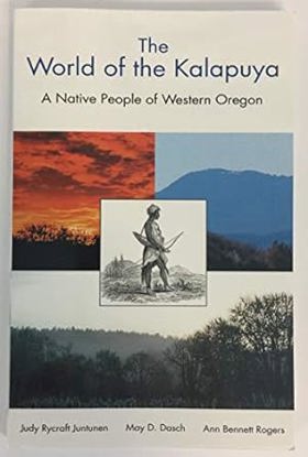
Published by the Benton County Historical Society and Museum, The World of the Kalapuya: A Native People of Western Oregon explores the rich history, culture, and lifeways of the indigenous inhabitants of the Willamette Valley prior to and following Euro-American settlement. Drawing on archaeological evidence, ethnohistorical records, and oral traditions, the authors detail the Kalapuya’s sophisticated land management practices—such as controlled burning to maintain open oak savannas—and their deep spiritual connection to the valley's seasonal rhythms. The volume highlights how the introduction of disease and forced displacement by pioneers devastatingly fractured a culture that had thrived in the region for millennia. A keen insight drawn from the text is how the Kalapuya's deliberate, centuries-old use of fire challenges the modern myth of the Pacific Northwest as a pristine, untouched wilderness; it reveals that the lush prairies encountered by early pioneers were actually meticulously cultivated cultural landscapes shaped by indigenous stewardship. 128 pages : illustrations, map ; 22 cm CIRC [ 1 ]
|
2005 |
|
Roadside geology of southern British Columbia by William Henry Mathews, J. W. H. Monger 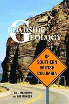
Southern British Columbia, from the northern tip of Vancouver Island to the Alberta border east of Golden, spans the Canadian Cordillera, a mountainous region with a tumultuous geologic history that continues to evolve with every volcanic eruption, landslide, and earthquake. Introductory sections of this guidebook interpret the geologic complexity of four regions-Vancouver Island, the Coast, the Interior Plateaus, and the Columbia and Rocky Mountains-and thirty-one road guides describe the xi, 403 pages : illustrations, maps ; 23 cm. CIRC [ 0 ]
|
2005 |
|
Oregon this storied land by William G. Robbins 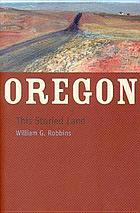
Oregon is a landscape of brilliant waterfalls, towering volcanoes, productive river valleys, and far-reaching high deserts. It is also a land of stories. People have lived on the Oregon landscape for at least twelve thousand years, and during that time they have established communities, built railroads, harvested fish and timber, and made laws that both protected and threatened the land. Oregon, This Storied Land tells many of those stories, giving us a broad, sweeping history of a state that has resisted being made into a stereotype xviii, 219 pages : illustrations, maps ; 23 cm CIRC [ 0 ]
|
2005 |
|
Marine life of the Pacific Northwest a photographic encyclopedia of invertebrates, seaweeds and selected fishes by Andrew Lamb , Bernard P. Hanby (Author, Photographer), Michael William Hawkes , Sheila C. Byers 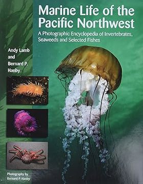
"Over 25 years in the making, Marine Life of the Pacific Northwest: A Photographic Encyclopedia of Invertebrates, Seaweeds and Selected Fishes is the most comprehensive photographic reference on Northwest marine life ever produced. With over 1,700 colour photographs of over 1,400 saltwater plants and animals, it is an essential addition to any natural history library. It is designed to allow the reader to recognize virtually any coastal organism that might be commonly encountered from southern Alaska to central California - from sea lettuces and feather boa kelp through to the leopard ribbon worm, Pacific red octopus, spiny-thigh sea spider and gutless awning-clam 398 pages : color illustrations, color map ; 29 cm CIRC [ 0 ]
|
2005 |
|
Place matters geospatial tools for marine science, conservation, and management in the Pacific Northwest by Dawn J. Wright, Astrid J. Scholz 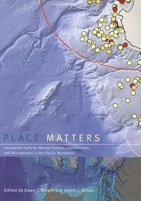
Although the ocean provides living space for about 97% of life on Earth, less than 5% of the ocean below the surface has actually been seen, let alone explored. Now, using the geographic information system (GIS), marine scientists are gaining new insights into a once-mysterious world. A technologically sophisticated information-management and analysis system, GIS holds tremendous potential for mapping, interpreting, and managing ocean environments- from the seafloor to the shoreline. Place Matters explores how marine GIS is contributing to the understanding, management, and conservation of the shores and ocean of the Pacific Northwest, where scientists, resource managers, and conservationists- often in collaboration- are making advances in the way that data are collected, documented, used, shared, and saved. The contributors to Place Matters show how together they are using GIS to handle and exploit present and future data streams from observatories, experiments, numerical models, simulations, and other sources, yielding fresh insights into oceanographic, ecological, and socioeconomic conditions of the marine environment. The book includes a conceptual framework that lays out selected methods and models for conservation-based marine GIS, working examples of marine GIS tools and large-scale implementations, and a section on the use of GIS by environmental advocacy and local citizens' organizations. A companion website includes GIS maps and databases, as well as extensive Web-based resources. With its unique focus on the use of GIS to solve marine conservation problems, Place Matters offers an important new resource for all who study and work to protect the world's oceans. xii, 305 pages : maps (some color) ; 26 cm CIRC [ 0 ]
|
2005 |
|
Becoming citizens family life and the politics of disability by Susan Schwartzenberg 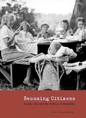
Following the Second World War, a generation of Seattle parents went against conventional medical wisdom and chose to bring up their children with developmental disabilities in the community. This book presents a stunning visual narrative of thirteen of these remarkable families. With a rich array of interviews, photographs, newspaper clippings, official documents, and personal mementos, photographer Susan Schwartzenberg captures moving recollections of the struggle and perseverance of these parents. Becoming Citizens traces their dogged determination to make meaningful lives for their children in the face of an often hostile system. Breaking the silence that characterizes the history of disability in the United States, Becoming Citizens is a substantive contribution to social and regional history. It demonstrates the ways in which personal experiences can galvanize communities for political action. The centerpiece of the book is the story of four mothers-turned-activists who coauthored Education for All, a crucial piece of Washington State legislation that was a precursor to the national law securing educational rights for every person with a disability in America. Becoming Citizens is a deeply compassionate testament to the experience of family life and disability, as it is to the ways in which ordinary citizens become activists. It will be important to anyone interested in disability studies, including teachers, friends, and families of those with disabilities. xix, 113 pages : illustrations (some color) ; 28 cm CIRC [ 0 ]
|
2005 |
|
Bringing Indians to the book by Albert Furtwangler 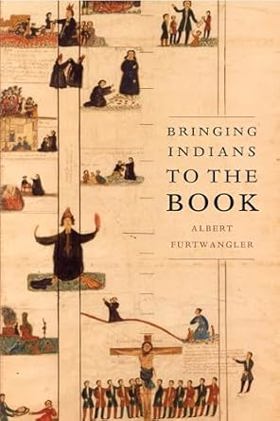
In 1831 a delegation of Northwest Indians reportedly made the arduous journey from the shores of the Pacific to the banks of the Missouri in order to visit the famous explorer William Clark. This delegation came, however, not on civic matters but on a religious quest, hoping, or so the reports ran, to discover the truth about the white men's religion. The story of this meeting inspired a drive to send missionaries to the Northwest. Reading accounts of these souls ripe for conversion, the missionaries expected a warmer welcome than they received, and they recorded their subsequent disappointments and frustrations in their extensive journals, letters, and stories. Bringing Indians to the Book recounts the experiences of these missionaries and of the explorers on the Lewis and Clark Expedition who preceded them. Though they differed greatly in methods and aims, missionaries and explorers shared a crucial underlying cultural characteristic: they were resolutely literate, carrying books not only in their baggage but also in their most commonplace thoughts and habits, and they came west in order to meet, and attempt to change, groups of people who for thousands of years had passed on their memories, learning, and values through words not written, but spoken or sung aloud. It was inevitable that, in this meeting of literate and oral societies, ironies and misunderstandings would abound. A skilled writer with a keen ear for language, Albert Furtwangler traces the ways in which literacy blinded those Euro-American invaders, even as he reminds us that such bookishness is also our own. xii, 226 pages, 8 unnumbered pages of plates : illustrations, map ; 23 cm CIRC [ 0 ]
|
2005 |
|
Vigilante newspapers a tale of sex, religion, and murder in the Northwest by Gerald J. Baldasty 
A powerful and instructive story of how intolerant and sensational newspapers in Corvallis and Seattle encouraged vigilante violence, murder, and lawlessness toward and Oregon religious cult viii, 189 pages : illustrations ; 23 cm CIRC [ 0 ]
|
2005 |