Township of Esquimalt Capital Regional District, British Columbia
District Municipality (1) - A populated place with legally defined boundaries, incorporated as a district municipality under the provincial Municipal Act. Just W of Victoria, Esquimalt Land District
Mapped Location
Township of Esquimalt: The mapped location is an approximation and should not be used for navigation or wayfinding.
Information
General information on Township of Esquimalt
- Feature Type: Incorporated
Official, historical, colloquial and alternative toponyms for Township of Esquimalt
A brief list of names that this geographic feature has been named
| Name | Description |
|---|---|
| District of Esquimalt | Official |
| Township of Esquimalt | Official |
Origin Notes and History of Township of Esquimalt
References to Township of Esquimalt that document the origin of its place name
Incorporated as a District Municipality 1 September 1912, to be called the Corporation of the Township of Esquimalt. "Esquimalt (Municipal District)" adopted in the 18th Report of the Geographic Board of Canada, 31 March 1924; name re-approved 1 May 1934 on National Defence sheet 415a, Victoria (Ottawa file OBF 1449).
" [Esquimalt Harbour:] An adaption of its [Indigenous] name. In a report on Vancouver Island, dated 12 July 1842, by Mr. James Douglas to Dr. John McLoughlin, chief factor, at Fort Vancouver, Columbia River, this harbour is spelt Is-whoy-malth. The late Mr. J.W. McKay, of the Indian Office, Victoria, gives the [Indigenous] meaning of the word "A place gradually shoaling" ie. the flats at the mouth of Sawmill Creek. Lieutenant Quimper, of the Spanish Navy, anchored in Esquimalt Harbour 30 June 1790, and named it Puerto de Cordova, after Don Antonio Maria Bucareli y Ursua Henestrosa Lasso de la Vega Villacis y Cordova, the 46th viceroy of Mexico. This is the first recorded visit of any vessel to the port.... A survey of the harbour was made in 1847 by Lieut Cmdr James A. Wood, HM surveying vessel Pandora, assisted by Mr. R.M. Inskip, naval instructor, HMS Fisgard (Captain John A. Duntze), when the point and islands, etc around the harbour were all named after the officers of the Fisgard." [see Walbran for additional detail...]
An [Indigenous] name, originally "Is-whoy-malth," which means "the place of gradually shoaling water." This name applies particularly to the tidal flats at the head of the harbour.
Native people of the Coast Salish linguistic group had used the area now known as Esquimalt for approximately 400 years before the advent of European settlement. Approximately 11 loosely affiliated groups occupied the lands between Sooke and the Saanich Peninsula. The Victoria Treaties, signed in 1843 between the Hudson's Bay Company and local native leaders indicate that at that time the Esquimalt Peninsula was the territory of the Kosampsom group. There has long been a village site near Ashe Head on the eastern shore of Esquimalt Harbour and this is where the Esquimalt Band makes its home today. Another group, the Songhees, have a reserve nearby, established in 1911. Prior to 1911, the Songhees had lived on the west shore of Victoria Harbour. The first European to enter Esquimalt Harbour was the Spanish explorer Don Manuel Quimper, who arrived in 1790 and gave it the name "Puerto de Cordova". Hudson's Bay Company Chief Factor James Douglas (later Governor of the Crown Colonies of Vancouver Island and British Columbia) visited Esquimalt Harbour in 1843 on his mission to seek a new site for the HBC's operations north of the 49th parallel. Although Douglas established the new fort on the shore of Victoria Harbour, he evidently saw the agricultural potential of the land that is now Esquimalt..... [see additional information about the HBC farms, the Royal Navy presence, impact of the gold rush and early settlement, on the District of Esquimalt's own website ]
Related Catalog Titles
A Bibliography for Township of Esquimalt, Capital Regional District, British Columbia
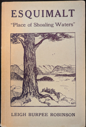
Esquimalt "place of shoaling water" by Leigh Burpee Robinson
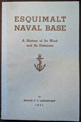
Esquimalt naval base a history of its work and its defences by F. V. Longstaff
Related Online Resources
Capital Regional District
- Albert Head
- Ardmore
- Bear Mountain
- Beaver Lake
- Beaver Point
- Bedwell Harbour
- Belmont Park
- Braemar Heights
- Brentwood Bay
- Cadboro Bay
- District of Central Saanich
- Colquitz
- City of Colwood
- Cordova Bay
- Deep Cove
- East Sooke
- Township of Esquimalt
- Fairfield
- Fernwood
- Fulford Harbour
- Galiano
- Ganges
- Glen Lake
- Goldstream
- Gordon Head
- Happy Valley
- District of Highlands
- Hope Bay
- James Bay
- Keating
- Lake Hill
- City of Langford
- Leechtown
- Lighthouse Point
- Long Harbour
- Luxton
- Marigold
- Mayne Island
- District of Metchosin
- Millstream
- Milnes Landing
- Montague Harbour
- Musgrave Landing
- North Galiano
- District of North Saanich
- District of Oak Bay
- Otter Bay
- Pender Island
- Port Renfrew
- Port Washington
- Prospect Lake
- River Jordan
- Royal Oak
- District of Saanich
- Saanichton
- Saseenos
- Saturna
- Sevenoaks
- Shirley
- Town of Sidney
- District of Sooke
- Strawberry Vale
- Sturdies Bay
- Swartz Bay
- Tillicum
- Vesuvius
- City of Victoria
- Town of View Royal
- Village Bay
Political Boundaries
Last updated: 2025-09-23