Island County County
Its name reflects the fact that it is composed entirely of islands. It contains two large islands, Whidbey and Camano, and seven smaller islands (Baby, Ben Ure, Deception, Kalamut, Minor, Smith, and Strawberry). Island County was created out of Thurston County on December 22, 1852, by the legislature of Oregon Territory, and is the eighth-oldest county in Washington. It originally encompassed what are now Snohomish, Skagit, Whatcom, and San Juan Counties.
Mapped Location
Island County: The mapped location is an approximation and should not be used for navigation or wayfinding.
Information
General information on Island County
- Feature Type: County
- County Seat: Town of Coupeville
- Established: Thursday, January 6, 1853
Official, historical, colloquial and alternative toponyms for Island County
A brief list of names that this geographic feature has been named
| Name | Description |
|---|---|
| Island County | Official |
Origin Notes and History of Island County
References to Island County that document the origin of its place name

ISLAND COUNTY, organized by the Oregon Territorial Legislature, by the act of January 6, 185, before the creation of Washington Territory. The name came from the fact that the county is composed of Whidbey, Camano and other islands.
Related Catalog Titles
A Bibliography for Island County, County
Maritime names of Washington by Richard W. Blumenthal
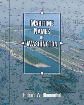
Maritime Names of Washington is a wonderful companion if you are a boating enthusiast or simply curious about Washington’s maritime history. This book is a scholarly study on the origins of place names for our coastal and inland waters. It covers every name that appears on current nautical charts, from the Pacific Coast to the Strait of Juan de Fuca, the San Juans, and Puget Sound from Port Townsend to Olympia. It includes every named island, bay, point, inlet, pass, harbor, rock, channel, strait, canal, peninsula, sound, and shoal. The book also features many local and historical names that are not shown on the charts. The manuscript generally identifies the individual who named the place, when, why, and for whom. It also identifies the chart where the name first appeared and the early settlement history of many places. The manuscript is richly annotated and uses many quotes from the observations of our earliest explorers to give readers a glimpse of what Puget Sound country looked like 200+ years ago. Each of our early explorations is discussed in detail as they relate to individual place names. The book contains 170 pictures and 44 historical nautical charts from 1790 to 1900 that show many of the names
ix, 501 pages : illustrations, maps, charts ; 26 cm
CIRC [ 1 ]
Hiking close to home Whidbey, Fidalgo, and Guemes Islands : 2023 edition by Maribeth Crandell
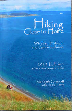
Forests, fields, beaches and bluffs -- our islands provide plenty of options for just about any hiking ability. You don't have to go very far. Explore your own backyard with this handy guide to more than seventy hikes that are Close to Home. Maribeth Crandell has over twenty years of experience as a hiking guide in the Pacific Northwest. For decades she's made Whidbey and Fidalgo Islands her home. Jack Harrt managed Deception Pass State Park for 14 years and now works with trail organizations in Skagit County. Here they share some of their favorite local trails with you."--Page 4 of cover
xii, 160 pages : color illustrations, color maps ; 22 cm
CIRC [ 1 ]
Whidbey Island's special places and the people who love them by Dan Pedersen
Through ten people, Pedersen tells the stories of 10 different places. The names are recognizable to many: Ranger Rick Blank at Deception Pass State Park, Roger Sherman on Central Whidbey, and Elliott Menasche, an authority on South Whidbey State Park, for example. In simple feature stories he smoothly describes the places and the people who treasure them. It’s an easy read, but surprisingly informative even for long-time islanders. You may not have known, for example, that the oldest tree on the island, located in Deception Pass State Park, recently celebrated its 860th birthday.
63 pages : color illustrations, color map ; 22 x 28 cm
CIRC [ 1 ]
A father and an island reflections on loss by O. Alan Weltzien
As author Ann Ronald notes, "Simultaneously a paean to his father and a personal memoir about a changing landscape caught by a ‘rising tide of affluence,’ Alan Weltzein’s A Father and an Island:Reflections on Loss, echoes my own Pacific Northwest youth—the endless saltwater summers, the quirky behavior of a bookworm, the sweet sharp tang of blackberry cobbler, the fierce games of badminton, the beachcombing days of discovery, the blessedness of parents well loved. Anyone who’s grown up in and around Puget Sound will find familiar memories triggered on every delicious page. Some sweet,some nostalgic, some downright sad, they’re all here in this poignant remembrance of things past." Northwest author Mary Clearman Blew writes, "In this moving tribute to his father and his family’s home on a Puget Sound island,Alan Weltzein returns us to a time when summers were glorious and children played all day long on beaches that were still unexploited and unrestricted—a pleasure to read." Weltzien's memoir is an essential book for Northwest Letters.
288 pages ; 22 cm
CIRC [ 1 ]
Getting to the water's edge on Whidbey & Camano islands by Sarah Schmidt, Dan Pederson, Stacey Neumiller, WSU Beach Watchers, Washington State University Extension
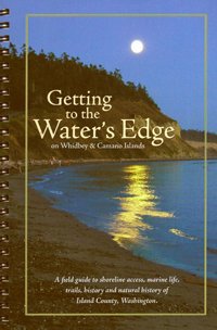
Published by Washington State University Extension and the WSU Beach Watchers, Getting to the Water’s Edge on Whidbey & Camano Islands serves as an exhaustive field guide to public shoreline access, marine life, and coastal trails across Island County. Compiled through extensive community research, the book details dozens of specific beaches, boat launches, and parks while weaving in rich context on local geology, natural history, and indigenous heritage. It bridges the gap between a practical recreational map and an environmental manual by emphasizing responsible stewardship of the fragile Salish Sea ecosystem. A keen insight drawn from the work is how citizen-science guidebooks function as powerful grassroots conservation tools; by meticulously cataloging public access points and educating visitors on local ecological sensitivities, the text transforms recreational day-trippers into active defenders of the regional shoreline.
ix, 166 pages : color illustrations, color maps ; 22 cm
CIRC [ 1 ]
How Coupeville grew a short history of town development : excerpts from the Town of Coupeville's Historic Preservation Plan by Mimi Sheridan , McConnell/Burke, United States National Park Service, Ebey's Landing National Historical Reserve (Wash)
Authored by preservation planner Mimi Sheridan in collaboration with McConnell/Burke, the National Park Service, and Ebey's Landing National Historical Reserve, How Coupeville Grew: A Short History of Town Development charts the architectural and spatial evolution of Washington’s second-oldest European settlement. Excerpted from the town's Historic Preservation Plan, the work traces Coupeville's transformation from a mid-19th-century maritime trading post and donation land claim into a preserved historic district defined by 19th-century New England-style architecture. Through municipal records, planning documents, and spatial analysis, the text details how maritime commerce and geographic isolation shaped the town's compact, pedestrian-oriented urban fabric. A keen insight drawn from the work is how modern historic preservation can intentionally weaponize municipal planning against suburban sprawl; by codifying vernacular architecture and historic spatial layouts into law, Coupeville successfully turned its historic isolation into an economic and cultural asset that safeguards its 19th-century character from modern erasure.
58 pages : illustrations ; 28 cm
CIRC [ 1 ]
A history of Whidbey's Island (Whidbey Island), State of Washington by George Albert Kellogg, Island County Historical Society
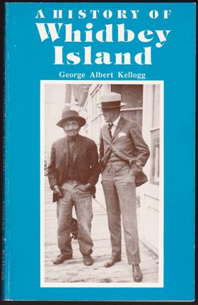
Published by the Island County Historical Society and authored by early pioneer descendant George Albert Kellogg, A History of Whidbey's Island, State of Washington chronicles the foundational decades of Puget Sound's largest island through the eyes of those who settled it. The book details the arrival of the first European-American homesteaders, maritime trading exploits, encounters with local Indigenous populations, and the arduous establishment of agriculture and civic infrastructure across the mid-to-late 19th century. Drawing on firsthand accounts, local lore, and early archival records, the text preserves the gritty, self-reliant spirit of a community forged in maritime isolation. A keen insight drawn from the work is how pioneer-authored local histories functioned as acts of cultural legitimation; by meticulously recording the trials of early settlement, authors like Kellogg sought to rapidly replace a deep, ancient indigenous geography with a heroic, permanent Anglo-American narrative of progress.
183 pages : maps, portrait ; 21 cm
CIRC [ 1 ]
This & that. Part II by Irene Kellar Mueller

A collection of Irene Mueller's first 80 columns published in the Coupeville examiner
173 pages ; 21 cm
CIRC [ 1 ]
A maritime history of central Whidbey Island. Part 1, The sinking of the Calista by Roger M. Sherman
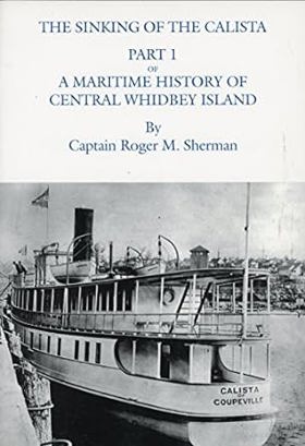
Authored by maritime historian Roger M. Sherman, A Maritime History of Central Whidbey Island, Part 1: The sinking of the Calista details the dramatic local shipping losses and aquatic commerce that shaped the marine highway of Washington's Puget Sound. The volume centers on the fateful shipwreck of the steamer Calista, exploring the intricate mechanics of early 20th-century coastal navigation, passenger travel, and the relentless dangers posed by shifting winds and hidden reefs. Through detailed archival research, contemporary newspaper accounts, and maritime logs, the text brings to light the perilous conditions faced by the small vessels that served as the primary lifeblood of island communities. A keen insight drawn from the work is how maritime disasters served as tragic catalysts for regulatory and technological reform in inland sea transport; the loss of vessels like the Calista forced an unyielding reckoning with corporate safety standards, transforming public attitudes toward the accountability of commercial navigation lines operating in dangerous Pacific Northwest waters.
xii, 144 pages : illustrations, maps ; 26 cm
CIRC [ 1 ]
Sails, steamships & sea captains settlement, trade, and transportation of Island County between 1850-1900 by Island County Historical Society
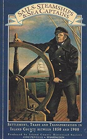
Published by the Island County Historical Society, Sails, Steamships & Sea Captains: Settlement, Trade, and Transportation of Island County Between 1850-1900 chronicles the maritime foundation of Washington’s Whidbey and Camano islands during the late nineteenth century. The book details the pivotal role played by mosquito fleet steamers, schooners, and daring sea captains in binding together isolated homesteads, timber camps, and agricultural outposts across Puget Sound long before the era of bridges and highways. Through archival photographs and pioneer accounts, the text captures a watery frontier where daily commerce, mail delivery, and social survival depended entirely on wind, tide, and vessel navigation. A keen insight drawn from the work is how insular geography in the Pacific Northwest inverted modern transportation logic; rather than land acting as the primary territory and water as the barrier, the interconnected waterways of Puget Sound served as the region's true main street, dictating the economic rise and fall of early island communities based entirely on their access to passing steamship docks.
vii, 137 pages : illustrations, maps ; 21 cm
CIRC [ 1 ]
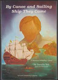
By canoe and sailing ship they came a history of Whidbey's Island by Dorothy Neil, Lee Brainard
South Whidbey and its people Volume 3: Langley, The Village by the Sea by Lorna Cherry, South Whidbey Historical Society
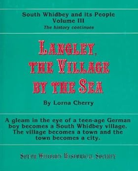
Langley, The Village by the Sea: A gleam in the eye of a teen-age German boy becomes a South Whidbey village. The village becomes a town and the town becomes a city
volumes : illustrations ; 26 cm
CIRC [ 1 ]
South Whidbey and its people Volume 2 by Lorna Cherry, South Whidbey Historical Society
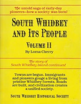
Towns are begun. Immigrants and pioneers gouge a living from pristine Whidbey forests. Roads are built, and civilization creates a unified society
volumes : illustrations ; 26 cm
CIRC [ 1 ]
South Whidbey and its people Volume 1 by Lorna Cherry, South Whidbey Historical Society
How it was formed. Indians - the first inhabitants. Early explorers and the arrival of settlers. The giant mammoths that once roamed here. And much, much, more.
volumes : illustrations ; 26 cm
CIRC [ 1 ]
Postmarked Washington Island County, San Juan County by Guy Reed Ramsey
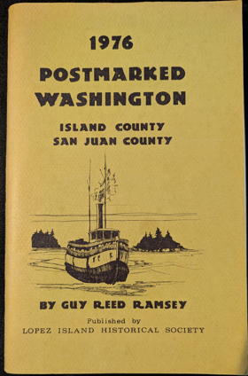
This volume is also a history of postal operations in these 2 counties.
62 pages : illustrations, facsimiles, maps ; 23 cm
CIRC [ 1 ]
"A particular friend, Penn's Cove" a history of the settlers, claims, and buildings of central Whidbey Island by Jimmie Jean Cook
Amazing compendium documenting central Whidbey from the Native Americans, early settlers, pioneer family information and photographs.
148 pages illustrations 28 cm
CIRC [ 1 ]
Island County a world beater by E.M. Hawes and Lou Clark
First published and written by E.M. Hawees and Lou Clark, 1911
iii, 55 pages illustrations, map, portraits 17 x 25 cm
CIRC [ 1 ]
Island County
- Austin
- Baby Island Heights
- Bay View
- Bells Beach
- Beverly Beach
- Bretland
- Camano
- Camp Diana
- Captains Choice
- Clinton
- Columbia Beach
- Cornet
- Town of Coupeville
- Coveland
- Dean Manor
- Driftwood Shores
- Ebeys Landing
- Fort Casey
- Freeland
- Glendale
- Greenbank
- Harbor Center
- Indian Beach
- Juniper Beach
- Keystone
- Keystone Ferry Landing
- City of Langley
- Lona Beach
- Mabana
- Madrona Beach
- Maple Grove Beach
- Marketown
- Maxwelton
- Midvale Corner
- New Utsaladdy
- City of Oak Harbor
- Pebble Beach
- Penn Cove Park
- Port Arthur (historical)
- Possession
- Rockaway Beach
- Rodena Beach
- San de Fuca
- Saratoga
- Saratoga Shores
- Sunlight Beach
- Sunny Shore Acres
- Sunset Beach
- Sunset Terrace
- Swantown
- Terrys Corner
- Tyee Beach
- Utsalady
Political Boundaries
Last updated: 2025-09-23