Catalog of British Columbiana and Pacific Northwest Americana
The Encyclopedia Cascadia Catalog indexes mostly non-fiction literature covering the Pacific Northwest coast of North America, with an emphasis on British Columbia, Idaho, Oregon, and Washington State.
| Catalog Title | Published |
|---|---|
|
Postmarked Washington Pierce County by Guy Reed Ramsey, Jeanne Engerman 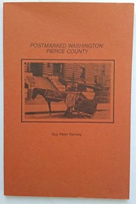
Postmarked Washington: Pierce County by Guy Reed Ramsey, posthumously edited by Jeanne Engerman, is a 1981 historical reference published by the Washington State Historical Society that chronicles the region's early communication networks. Building upon decades of exhaustive research, the book catalogs the establishment, operation, and eventual closure of numerous frontier post offices within the county, detailing its early settlements and pioneer postmasters. Ultimately, it serves as an invaluable resource for genealogists and regional historians seeking to understand the rural development and civic infrastructure that connected communities across the Tacoma and Mount Rainier areas. xi, 123 pages : illustrations ; 23 cm Non-circulating [ 1 ]
|
1981 |
|
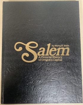
Salem, a pictorial history of Oregon's capital by Harry H. Stein
|
1981 |
|
The Queen Charlotte Islands volume 1 ; 1774-1966 by Kathleen E. Dalzell 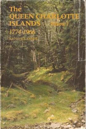
Kathleen E. Dalzell’s The Queen Charlotte Islands, Volume 1: 1774–1966 serves as a foundational spatial and documentary chronicle of Haida Gwaii, tracing the archipelago’s turbulent transition from an autonomous Indigenous maritime stronghold into a resource-extraction frontier. Drawing heavily on archival logs, pioneer journals, and oral testimonies, Dalzell details how European maritime fur traders, gold seekers, and homesteaders entered a densely organized geography long governed by the Haida nation, whose village sites, cedar reserves, and open-ocean canoe routes spanned the treacherous waters of Hecate Strait and Dixon Entrance. The text documents the systematic superimposition of colonial infrastructure—ranging from early mineral outposts and Anglican mission stations to commercial fish canneries, timber leases, and coastal steamer docks—directly over ancestral Haida town sites such as Masset (Kayung/Atewaas) and Skidegate (Hlgagilda). Dalzell underscores the profound physical isolation of the archipelago, illustrating how early non-Indigenous survival was wholly contingent on interdependent alliances, wage labor, and critical logistical aid from Haida mariners, who provided essential open-water canoe transport, coastal piloting, and food provisions. Ultimately, the history captures the enduring tension between expanding industrial enterprises and an unceded Indigenous marine domain, revealing how twentieth-century logging camps and civic settlements remained physically grounded upon the ancient geographic networks of the islands. 340 pages : illustrations, maps ; 24 cm. Non-circulating [ 1 ]
|
1981 |
|
The Queen Charlotte Islands volume 2 ; places and names by Kathleen E. Dalzell 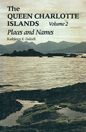
Kathleen E. Dalzell’s The Queen Charlotte Islands, Volume 2: Places and Names serves as an exhaustive toponymic gazetteer and spatial record, documenting the linguistic and cartographic superimposition of Euro-American settlement across Haida Gwaii. Functioning as a granular geographical ledger, the volume systematically traces how eighteenth-century naval charts, colonial surveys, and pioneer mining and timber claims assigned British, Spanish, and settler monikers over ancient Haida village sites, hereditary fishing stations, and ancestral canoe passages. Dalzell details the logistics of frontier navigation, illustrating how remote infrastructure—such as isolated lighthouses, steamship landings, copper prospects, and coastal canneries—was anchored to specific sheltered inlets and treacherous tidal passages long mastered by Haida mariners. By cataloging the origins of every inlet, reef, and headland, the work reveals the geographic friction between an imposed imperial cartography and an enduring Indigenous maritime domain, demonstrating that the archipelago’s modern civic map remains an indelible palimpsest built directly upon ancestral Haida geography. 472 pages : illustrations, maps, portraits ; 23 cm Non-circulating [ 1 ]
|
1981 |
|
Settling Clayoquot by Bob Bossin 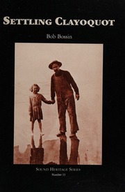
Bob Bossin’s Settling Clayoquot provides a detailed documentary and oral history chronicling late-nineteenth- and early-twentieth-century non-Indigenous settlement along the remote west coast of Vancouver Island. Utilizing settler journals, store ledgers, and archival accounts, the text examines how early mercantile outposts, cannery operations, and homesteads—anchored around locales such as Stubbs Island (Clayoquot) and Tofino Inlet—were superimposed directly onto the ancient maritime territories, seasonal harvesting grounds, and canoe corridors of the Nuu-chah-nulth nations, particularly the Tla-o-qui-aht, Ahousaht, and Hesquiaht. Bossin emphasizes the profound logistical isolation of this exposed Pacific coastline, demonstrating how early storekeepers, sealers, and homesteaders were entirely dependent on interdependent alliances and day-to-day trade with Nuu-chah-nulth communities for open-water canoe transport, subsistence provisions, and navigational expertise. Ultimately, the narrative captures the fragile transition from a collaborative coastal trade nexus to a regulated colonial resource frontier, illustrating how pioneer maritime infrastructure relied upon the established Indigenous marine geography of Clayoquot Sound. Sound heritage series, no. 33 iv, 76 pages : illustrations ; 27 cm. Non-circulating [ 1 ]
|
1981 |
|
Now you are my brother missionaries in British Columbia by Margaret Whitehead
|
1981 |
|
British establishments on the Columbia & the state of the fur trade by William Henry Ashley, Donald R. Johnson 
Pages 16-35 contain the report of Joshua Pilcher of his experiences in the Hudson's Bay Company posts, including Flathead Post, during the winter of 1829-30. Probably written in the fall of 1830 61 pages : illustrations ; 24 cm Non-circulating [ 1 ]
|
1981 |
|
Along the way by Margaret Lang Hastings
|
1981 |
|
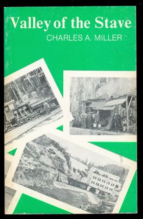
Valley of the Stave by Charles A. Miller
|
1981 |
|
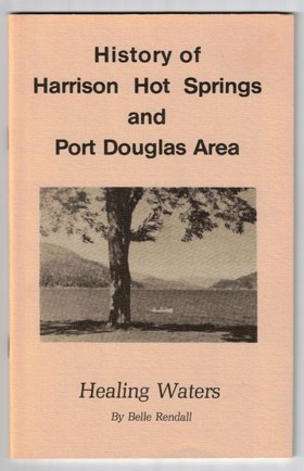
History of Harrison Hot Springs and Port Douglas area healing waters by Belle Rendall, Harrison Lake Historical Society
|
1981 |
|
Backroad adventures through interior British Columbia by Donovan Clemson 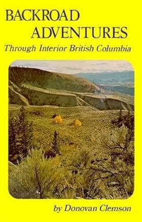
BACKROAD ADVENTURE takes us through the great stretch of country lying between the Coast range and the Rockies, south of Prince George. It is about the quiet remote places and the people one finds sheepherders in alpine pastures, ranchers in secluded valleys, fire watchers on isolated mountain tops, and the lonely ferrymen. The byways straggle and wander through the interior, leading to dry valleys where fantastic rock formations surprise the stranger; or to remote jack pine plateaux where back woods ranchers count many miles between neighbors. Threading the timbered Kootenay valleys, quiet and friendly roads trail past the fast fading relics of ghostly mining towns and rustic settlements which time has passed by. 192 pages : illustrations ; 21 cm Non-circulating [ 1 ]
|
1981 |
|
Chief Joseph country land of the Nez Perce by Bill Gulick 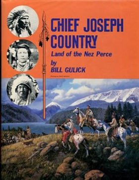
The relationship between Westering Americans and the Nez Perce Indians covers a time-span of one hundred years, from the meeting of the Lewis and Clark party with the Indians in 1805 to the death of Chief Joseph in 1904. It is epic drama, taking place on a vast stage during a critical period in the development of the United States. Certainly no setting could be more spectacular than the rugged, beautiful homeland of this tribe. No story can equal in historical importance the long-standing friendship given by the Nez Perces to the white newcomers in their country. And no event is more poignant, bitter, and tragic than the Nez Perce War. Before acquiring the horse around 1730, the Nez Perces occupied approximately 27,000 square miles of what is now north-central Idaho, northeastern Oregon, and southeastern Washington. After becoming a mounted people, they ranged over a much larger area, traveling east to the buffalo country claimed by Blackfeet, Crow, and Sioux, west to the great fishing and trading station on the lower Columbia, Celilo Falls. Uniquely situated as they were between the Plains and Coastal Indian cultures, they would play a key role in the struggle between Great Britain and the United States as to which nation would take title to the Pacific Northwest. In Chief Joseph Country: Land of the Nez Perce, author Bill Gulick lets the participants in the developing drama tell the story in their own words by excerpting diaries, letters, and statements made in contemporary accounts. Beginning with the prehistory of the Nez Perces, he relates how, after being pedestrians for eight thousand years, acquisition of the horse drastically altered their way of life. Then, in rapid succession, came firearms, American explorers, British fur traders, the Manifest Destiny struggle, missionaries, Oregon Trail emigrants, settlers, gold miners, farmers, and finally war. "If there is a bias in this book, it is that I have given more credence to statements made by Indians than to words written by white men," the author says. "Time and again in my research I have come across references to the importance the Indian placed on telling the plain, simple truth when relating any event in which he was involved. To the contrary, time and again I have found statements made by white leaders so contradictory and at variance with the truth that I began to question everything they wrote." In selecting the many historical photographs and sketches used to illustrate the book, the author examined the holdings of some twenty institutions from coast to coast, some of which dated back to the 1850s. As he did in Snake River Country, Bill Gulick applies skills learned as a novelist and dramatist to the non-fiction field of history, using the twin tools of dramatic narrative and sound research to bring history alive to the layman reader. He writes: "As in all epic dramas, forces beyond the understanding or control of the people involved were at work as the Nez Perces and the whites confronted one another, driving them toward a fate neither could forsee. "Here, I have recorded that confrontation from the Indian point of view." xiv, 316 pages : illustrations ; 29 cm Non-circulating [ 1 ]
|
1981 |
|
Tales of Eastern Idaho by David L. (David Lester) Crowder
|
1981 |
|
The Fairhaven folktales of Dirty Dan Harris by Michael Sullivan 
A biography of the storyteller Daniel Jefferson Harris (1826-1890) of the Puget Sound area of Washington State, USA. 74 pages : illustrations ; 14 x 22 cm Non-circulating [ 1 ]
|
1981 |
|
History of Oregon Territory by Thomas Jefferson Farnham 
The ""History Of Oregon Territory"" is a book written by Thomas Jefferson Farnham in 1844. It provides a detailed account of the exploration and settlement of the Oregon Territory, which at the time included present-day Oregon, Washington, Idaho, and parts of Montana and Wyoming. The book covers the early expeditions of Lewis and Clark, as well as the later efforts of fur traders and missionaries to establish a presence in the region. Farnham also describes the conflicts between the Native American tribes and the white settlers, as well as the political tensions between the United States and Great Britain over control of the territory. 105 pages : illustrations, maps ; 24 cm Non-circulating [ 1 ]
|
1981 |
|
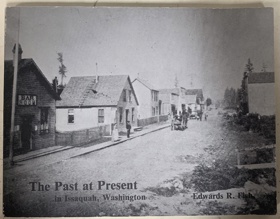
The past at present in Issaquah, Washington by Edwards R. Fish
|
1981 |
|
Early Washington atlas overland stage routes, old military roads, Indian battle grounds, old forts, old gold mines by Ralph N. Preston 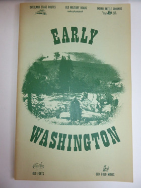
Ralph N. Preston’s cartographic compilation, Early Washington atlas: overland stage routes, old military roads, Indian battle grounds, old forts, old gold mines, serves as an essential spatial record of the rapid territorial and military re-engineering of the Pacific Northwest. By assembling nineteenth-century federal survey charts, military route maps, and mining plots, the atlas visually documents how Euro-American frontier infrastructure was systematically superimposed directly over the ancient overland trails, river fords, and mountain passes long maintained by the Yakama, Spokane, Palouse, Colville, and Coast Salish peoples. Federal garrisons—such as Fort Simcoe, Fort Colville, and Fort Walla Walla—alongside vital arteries like the Mullan Road and the military trail across Naches Pass, were constructed directly along these pre-existing indigenous communication corridors to control regional trade and resource transit. The atlas’s explicit cataloging of territorial battlegrounds delineates the violent friction points where federal boundary lines and mineral extraction forcefully encroached upon indigenous geographic sovereignty. In mapping the vast distances between isolated stage stops, mining camps, and garrisons, Preston’s collection underscores how early overland logistics and frontier survival remained deeply dependent on navigating an established indigenous landscape and relying on local geographical knowledge. 68 unnumbered pages : chiefly illustrations, maps ; 44 cm Non-circulating [ 1 ]
|
1981 |
|
Snoqualmie Pass from Indian trail to interstate by Yvonne Prater 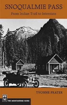
Colorful history of the Washington Cascades pass. Published in conjunction with the Mountains to Sound Greenway Trust. [8], 167, [1] pages : illustrations, maps, portraits ; 22 cm Non-circulating [ 1 ]
|
1981 |
|
Puget's sound a narrative of early Tacoma and the southern Sound by Murray Morgan 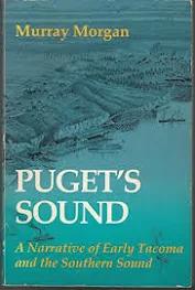
With the same ability to make personalities and events come alive that characterizes his classic "Skid Road", Murray Morgan here tells the colorful story of southern Puget Sound, where major events of Washington's history took place, and of Tacoma, the area's principal city. Drawing upon the original journals and reports, Morgan tells his story largely in terms of individuals, interweaving portraits of well-known historical figures with those who are more obscure but who have a special significance. Journalist and historian Murray Morgan (1916-2000) was the author of more than twenty books, including "Skid Road: An Informal Portrait of Seattle" and "The Last Wilderness". He worked for "Time" magazine, the "New York Herald Tribune", and CBS News before returning to Washington where he taught at Tacoma Community College and for fifteen years hosted the early morning radio show 'Our Town, Our World.' 360 s. : illustrations Non-circulating [ 1 ]
|
1981 |
|
Whatcom scenes a miscellany of prose and verse by Dorothy Koert 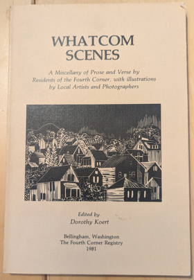
Whatcom Scenes, 1981, edited by Dorothy Koert. A miscellany of prose and verse by residents of the fourth corner, with illustrations by local artists and photographers. Paperback with 134 pages, published by The Fourth Corner Registry. xvi, 134 pages : illustrations ; 23 cm Non-circulating [ 1 ]
|
1981 |
|
A guide to shipwrecks along the West Coast Trail by R. E. Wells
|
1981 |
|
Railroad man a conversation with W.J. Gamble, W.I. & M. Ry. Co by Latah County Historical Society 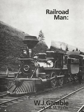
A conversation with W.J. Gamble about his life working for the Washington, Idaho & Montana Railway Company from 1910 until his retirement in 1951, including the origins and development of the railroad and his relationship with it. 16 pages : illustrations, maps, portraits ; 26 cm Desiderata
|
1981 |
|
The Coos Bay region, 1890-1944 life on a coastal frontier by Nathan Douthit 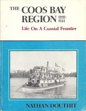
About two-thirds of the way from San Francisco Bay to the Columbia River lies Coos Bay, the larges natural harbor on the Oregon coast.... the subject of this book. It is a book about the social and economic development of a small corner of the Pacific Northwest from a coastal frontier into a major population and forest industrial center of Oregon. 163 pages : illustrations ; 28 cm Desiderata
|
1981 |
|
Eden seekers the settlement of Oregon, 1818-1862 by Malcolm Clark
|
1981 |
|
The Cariboo mission a history of the Oblates by Margaret Whitehead 
Margaret Whitehead’s The Cariboo Mission: A History of the Oblates provides an institutional and social study of the Missionary Oblates of Mary Immaculate in the central interior of British Columbia. Whitehead chronicles the establishment and operation of St. Joseph’s Mission near Sugarcane (Williams Lake First Nation), analyzing how missionary stations and agricultural parcels were introduced across Secwépemc and Tsilhqot'in ancestral territories. The text examines the dual religious and educational functions of the mission, documenting the administration of the residential school system, the conversion of traditional seasonal lands into mission farms, and the interactions between Catholic clergy and Indigenous communities throughout Alkali Lake, Dog Creek, and Soda Creek. Whitehead provides an essential archival record illuminating the religious policies and structural pressures experienced by First Nations under colonial administration. 142 pages : illustrations, map, portraits ; 23 cm Desiderata
|
1981 |