Thompson-Nicola Regional District Regional District
The Thompson-Nicola Regional District (TNRD) in British Columbia is a land of rich history, dating back over 10,000 years. The first inhabitants of the region were the Nlaka'pamux, Secwepemc, and Ktunaxa First Nations, who have called the area home for thousands of years. In the 1800s, the region was opened up to European settlement, and ranching and forestry became the major industries.
Mapped Location
Thompson-Nicola Regional District: The mapped location is an approximation and should not be used for navigation or wayfinding.
Information
General information on Thompson-Nicola Regional District
- Feature Type: Regional District
- Regional District Administrative Centre: City of Kamloops
- Established: Friday, November 24, 1967
Official, historical, colloquial and alternative toponyms for Thompson-Nicola Regional District
A brief list of names that this geographic feature has been named
| Name | Description |
|---|---|
| Thompson-Nicola Regional District | Official |
Related Catalog Titles
A Bibliography for Thompson-Nicola Regional District, Regional District
DeeDee's Indigenous dream families between St. Elmo and Lytton by Vera Isabel Creighton

Published in 2022 by Vera Isabel Creighton, DeeDee's Indigenous dream families between St. Elmo and Lytton explores the deeply intertwined familial, cultural, and geographic histories of Indigenous communities inhabiting the rugged corridor between St. Elmo and Lytton in British Columbia. Drawing on regional archives, personal narratives, and local genealogies, the book documents the enduring social networks and resilience of families navigating the disruptions of colonial encroachment along the Fraser Canyon. A keen insight drawn from the text is how it shifts the focus away from macroeconomic frontier histories to center kinship and oral tradition, revealing how indigenous family structures served as the primary vehicle for cultural survival and continuity through decades of systemic displacement
122 pages
CIRC [ 0 ]
Bittersweet oasis a history of Ashcroft and district, 1885-2002 by Brian Belton
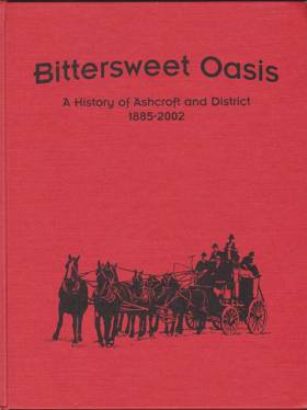
Bittersweet Oasis: A History of Ashcroft and District, 1885-2002, originally authored by Brian Belton, provides a comprehensive historical account of the development of the village of Ashcroft in British Columbia's Thompson region. The book chronicles Ashcroft's foundational years as the bustling "Gateway to the Cariboo," detailing how its position at the intersection of the Canadian Pacific Railway and the Cariboo Wagon Road fueled its early economic boom. It further explores the community's cultural and economic evolution, highlighting the vital contributions of early pioneers, Chinese laborers, and a thriving agricultural sector famous for its tomatoes and potatoes. Ultimately, the narrative captures the enduring resilience of the district's residents as they successfully navigated devastating fires, shifts in regional transportation routes, and changing industries over more than a century.
160 pages : illustrations, facsimiles, portraits ; 29 cm
CIRC [ 1 ]
Kamloops one hundred years of community, 1893-1993 by Wilf Schmidt, Wayne R. Norton
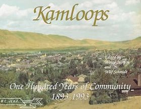
In this unique collection of writing and photography, nineteen skilled individuals have explored various facets of Kamloops' colorful past, present and future. Through their eyes, we see the landscapes, the city scenes and the people who made life in this southwestern B.C. community interesting and exciting. Kamloops: One Hundred Years of Community has an historic hand-tinted 1937 photograph as a four-color wrap-around cover. It also contains 87 black and white photographs, many previously unpublished. Soft cover, 8 1/2" x 11" horizontal format.
148 p. : ill. ; 22 x 28 cm.
CIRC [ 1 ]
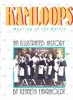
Kamloops meeting of the waters : an illustrated history by Ken Favrholdt, Lynne Schuyler Bracewell, Greater Kamloops Chamber of Commerce
Kamloops a history of the district up to 1914 by Ruth Balf
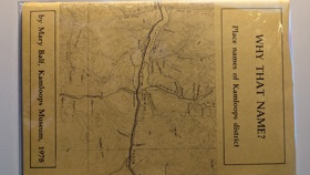
Why that name? place names of Kamloops district by Mary Balf
Kamloops cattlemen one hundred years of trail dust by T. Alex Bulman
Thompson-Nicola Regional District
- 70 Mile House
- Aberdeen
- Adams Lake
- Agate
- Village of Ashcroft
- Aspen Grove
- Avola
- Barnhartvale
- District of Barriere
- Batchelor Hills
- Beresford
- Bestwick
- Big Bar Creek
- Birch Island
- Black Pines
- Blackloam
- Blackpool
- Blucher Hall
- Blue River
- Boston Flats
- Brigade Lake
- Brocklehurst
- Brookmere
- Village of Cache Creek
- Cahilty
- Campbell Creek
- Canford
- Village of Chase
- Chasm
- Cherry Creek
- Chinook Cove
- Chu Chua
- Clapperton
- District of Clearwater
- Village of Clinton
- Collettville
- Copper Creek
- Coutlee
- Coyle
- Criss Creek
- Dallas
- Darfield
- Douglas Lake
- Duck Range
- Dufferin
- Exlou
- Heffley Creek
- Holmwood
- Jesmond
- Juniper Ridge
- City of Kamloops
- Kanaka Bar
- Kelly Lake
- Knutsford
- Lac Le Jeune
- Little Fort
- District of Logan Lake
- Loon Lake
- Louis Creek
- Lower Nicola
- Village of Lytton
- Martin Prairie
- McLure
- City of Merritt
- Monte Creek
- Monte Lake
- Nicola
- North Bonaparte
- North Kamloops
- Oak Hills
- Pinantan Lake
- Powers Addition
- Pritchard
- Quilchena
- Rayleigh
- Sahali
- Savona
- Shulus
- Shuswap
- Six Mile Ranch
- Spatsum
- Spences Bridge
- Stillwater
- Stump Lake
- Sun Peaks Mountain Resort Municipality
- Tobiano
- Tranquille
- Turtle Valley
- Valleyview
- Vavenby
- Vidette
- Vinsulla
- Walhachin
- Westsyde
- Westwold
Political Boundaries
Last updated: 2023-08-03